Items Similar to Original Antique Map of Egypt in Frame by C. Weigel, circa 1720


Want more images or videos?
Request additional images or videos from the seller
1 of 6
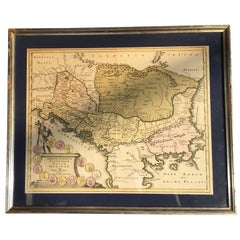
Original Antique Map of Egypt in Frame by C. Weigel, circa 1720
About the Item
The map is an antique depiction of ancient Egypt, divided into its regions and nomes, also including areas like Troglodytica, Marmarica, and Ethiopia above Egypt. Christophorus Weigelius -or Wiegel- curated the map, which was included in the atlas "Descriptio orbis antiqui in XLIV," around 1720.
It represents a detailed cartographic record from the early 18th century, illustrating the geographical understanding of Egypt and its surrounding territories at the time.
- Dimensions:Height: 27.56 in (70 cm)Width: 24.41 in (62 cm)Depth: 0.99 in (2.5 cm)
- Materials and Techniques:
- Period:
- Date of Manufacture:circa 1720
- Condition:General age-related toning. Frame included, please study image carefully.
- Seller Location:Langweer, NL
- Reference Number:Seller: BG-080561stDibs: LU3054310288333
About the Seller
5.0
Platinum Seller
These expertly vetted sellers are 1stDibs' most experienced sellers and are rated highest by our customers.
Established in 2009
1stDibs seller since 2017
1,970 sales on 1stDibs
Typical response time: <1 hour
- ShippingRetrieving quote...Ships From: Langweer, Netherlands
- Return PolicyA return for this item may be initiated within 14 days of delivery.
Auctions on 1stDibs
Our timed auctions are an opportunity to bid on extraordinary design. We do not charge a Buyer's Premium and shipping is facilitated by 1stDibs and/or the seller. Plus, all auction purchases are covered by our comprehensive Buyer Protection. Learn More
More From This SellerView All
- Antique Map of Belgium by J.C. Weigel, 1723Located in Langweer, NLAntique map titled 'Des Burgundischen Creisses Südlicher theil oder Oesterreichische Niederlande'. This map originates from 'Continuirter Atlas Portatilis Germanicus (..)' by Johann ...Category
Antique Early 18th Century Maps
MaterialsPaper
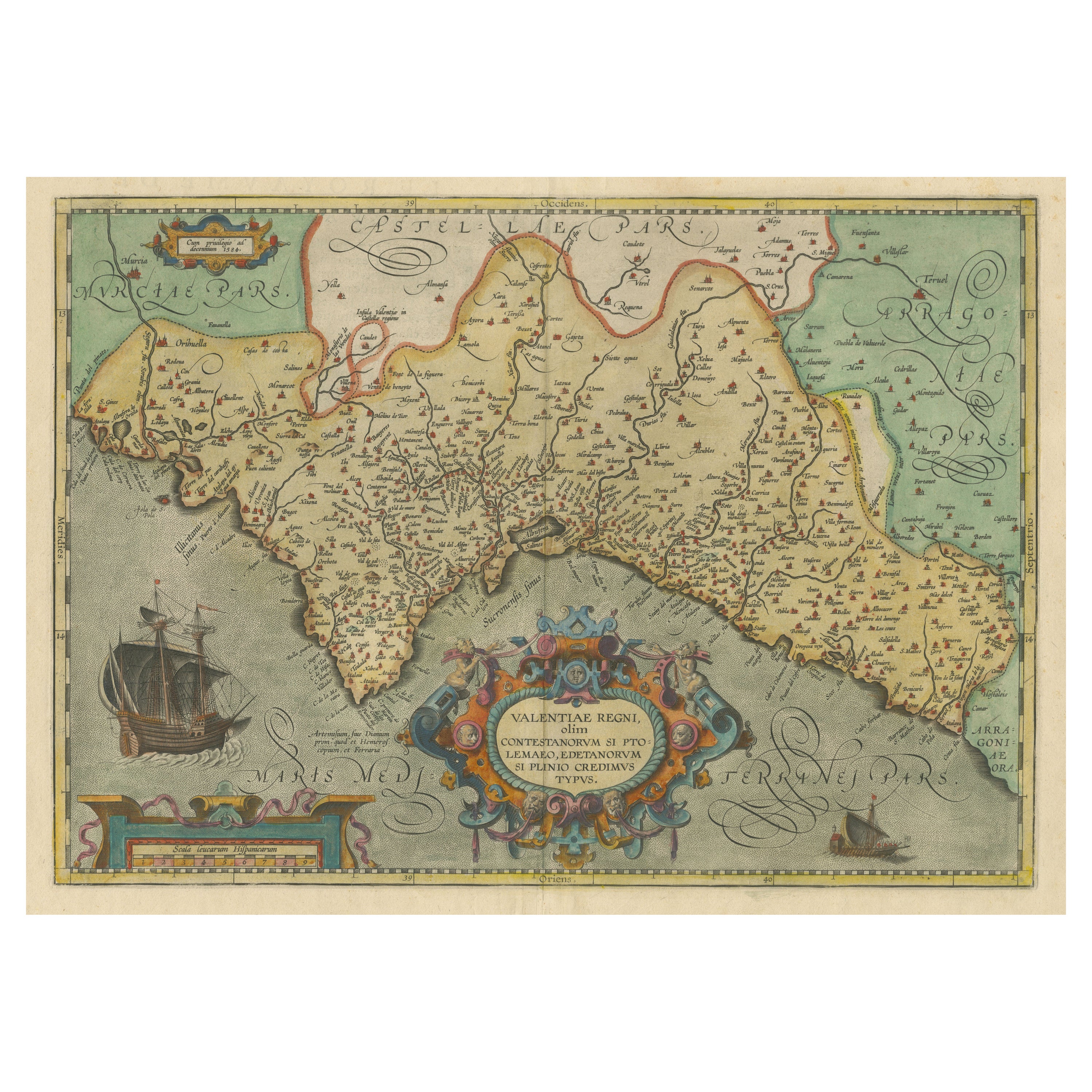
- Antique Map of Southeast Asia by H. Chatelain, circa 1720By Henri-Abraham ChatelainLocated in Langweer, NLAntique map titled 'Le Royaume de Siam aves les Royaumes qui luy sont Tributaires et les Isles de Sumatra Andemaon'. Influential map of Southeast Asia, including modern day Thailand, southern Vietnam, Cambodia, Malaysia, Singapore, Borneo, Sumatra and Java. Chatelain incorporated information provided by the French Jesuits and charts the route of the French Embassy to and from Siam in 1685-1686 through the Straits of Banca and the Gulf of Siam. With good detail of the Andaman Islands, the Gulf of Thailand (Golfe de Siam) and coastal Vietnam. In the Kingdom of Siam, this map shows the fortress of Bangkok, the ancient Siamese capital of Ayutthaya, royal palace, and the Dutch trading colony. In Cambodia, it details the village of Ponompingn (Phnom Penh...Category
Antique Early 18th Century Maps
MaterialsPaper
- Antique Map of Peru by van der Aa, 'circa 1720'Located in Langweer, NLAntique map titled 'Le Perou, Grand Pays de l Amerique Meridionale (..)'. Decorative map of Peru including portions of Ecuador and northern Chile and Boliv...Category
Antique Early 18th Century Maps
MaterialsPaper
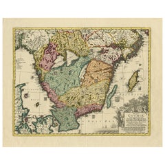
- Antique Map of Southern Sweden by Covens & Mortier, 'circa 1720'Located in Langweer, NLAntique map titled 'Regni Gothiae (..)'. Detailed map of South Sweden. Embellished with beautiful title cartouche with scale and coats of arms. Published in Amsterdam by Covens & Mor...Category
Antique Early 18th Century Maps
MaterialsPaper
- Original Antique Map of Egypt by Van Dùren '1749'Located in Langweer, NLDecorative German antique engraving with titled 'Neue Vorstellung von Aegypten (..)'. It concerns a rare original antique map of Egypt. This map o...Category
Antique Mid-18th Century Maps
MaterialsPaper
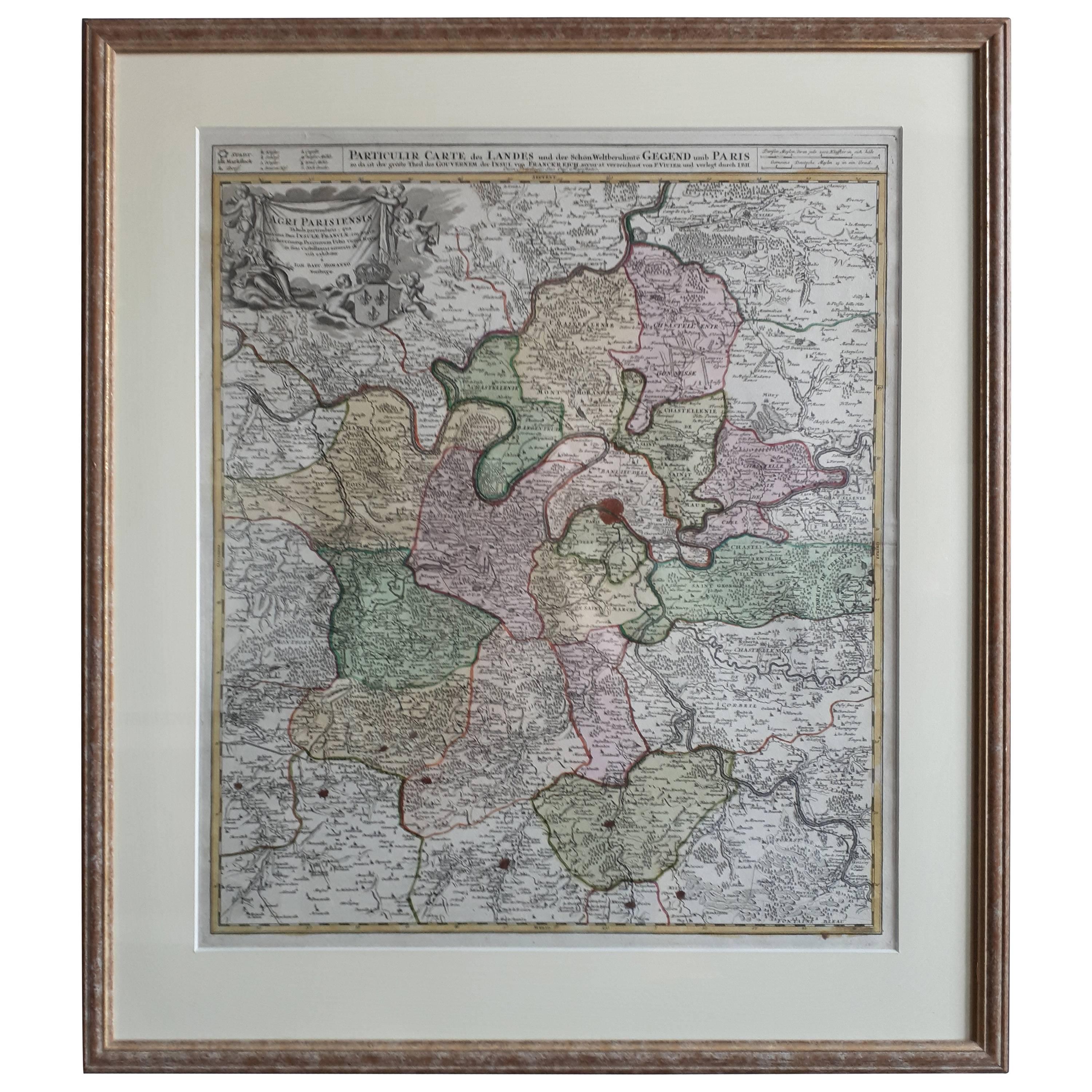
- Antique Map of the Region of Paris ‘France’ by H. Heirs, circa 1720Located in Langweer, NLAntique map titled 'Agri Parisiensis Tabula particularis, qua maxima Pars Insulae Franciae (..)'. Incredibly detailed map showing everything from tiny villages to forests, farmland, ...Category
Antique Early 18th Century Maps
MaterialsPaper


You May Also Like
- Antique Coach Road Map, East Devon, English, Framed, Cartography, Georgian, 1720Located in Hele, Devon, GBThis is an antique coach road map of East Devon. An English, framed lithograph engraving of regional interest, dating to the early 18th century and later. Fascinating 18th century h...Category
Antique Early 18th Century British Georgian Maps
MaterialsWood
- Four 18th Century Engraved and Hand-Colored Maps by WeigelBy Christoph WeigelLocated in Copenhagen, KSmall collection of four engraved maps of Italy, Balkan and of Central Asia. Two are of Italy, one Corsica and Northern Italy and the other of the Southern Italian boot...Category
Antique 18th Century German Maps
MaterialsPaper
- Antique Coaching Road Map, Devon, English, Regional Cartography, Georgian, 1720Located in Hele, Devon, GBThis is an antique coaching road map of Devon. An English, framed lithograph engraving of regional interest, dating to the early 18th century and later. Fascinating 18th century hig...Category
Antique Early 18th Century British Georgian Maps
MaterialsWood
- Antique Hand Colored Framed Map of EuropeLocated in West Palm Beach, FLAntique reproduction copied from an edition dated 1595 by Ortelius.Category
Antique Late 19th Century Maps
- Original Antique Map of South America by Thomas Clerk, 1817Located in St Annes, LancashireGreat map of South America Copper-plate engraving Drawn and engraved by Thomas Clerk, Edinburgh. Published by Mackenzie And Dent, 1817 Unframed.Category
Antique 1810s English Maps
MaterialsPaper
- Framed Map of ChinaLocated in Greenwich, CTMap of China, 19th century. European print map of China Conservation frame with walnut frame Overall dimension : 28 1/2" wide 31" high 2" depth with fra...Category
Antique 19th Century European Qing Prints
MaterialsPaper


Recently Viewed
View AllMore Ways To Browse
Original Egyptian
Ancient Maps
Framed Map
Original Egyptian Furniture
Antique Map Framing
Antique Maps Framed
Framing Antique Maps
Map Of Egypt
Antique Egypt Map
Antique Map Egypt
Antique Map Of Egypt
Egypt Map
Old Antique Collectables
Old Collectible Antique
Historically Important
Buys Antique Furniture
Original World Map
Antique World Maps