Items Similar to "Canoe of the Sandwich Islands" (Hawaii), Engraving of Captain Cook's 3rd Voyage

Want more images or videos?
Request additional images or videos from the seller
1 of 11
John Webber"Canoe of the Sandwich Islands" (Hawaii), Engraving of Captain Cook's 3rd Voyage1784
1784
About the Item
"A Canoe of the Sandwich Islands, the Rowers Masked" is an engraving created by Charles Grignion, from a drawing by John Webber (1752-1793), who was the artist on Captain James Cook's 3rd and final voyage of discovery. It is Plate 65 in the atlas of "A Voyage to the Pacific Ocean Undertaken by the Command of His Majesty, for Making Discoveries in the Northern Hemisphere", the official British Admirality sanctioned journal published upon completion of the voyage in London in 1784 by Strahan & Cadell.
This famous image of ten Hawaiian rowers transporting a priest who is carrying a feather-covered image of Kukailimoku, the Hawaiian god of war. The priests and paddlers are all wearing gourd masks in their double-hulled canoe with an upright lateen woven sail. Each hull was shaped from a single large Koa log harvested from island rainforests, where they were carved before being transported to the coast.
This engraving is presented in a Koa wood frame and a white mat. There are occasional faint spots, but the print is otherwise in very good condition. Koa is the same wood as was used to make the canoe. Koa wood is legendary in Hawaii. Not only is this amazing wood native to Hawaii, but it is known for the deep rich colors and varied grain pattern. Koa has an honored heritage in Hawaii and is highly revered and sacred. The word “koa” means “warrior” in Hawaiian. The warriors of King Kamehameha the Great, created canoes and weapons from a wood plentiful on the Big Island of Hawaii. This wood became synonymous with the warriors themselves, and it became known as koa. The frame measures 20.75" high, 26.75" wide and 0.88" deep.
There are three other engravings listed from the official journal of Captain Cook's 3rd voyage available that are presented in identical Koa wood frames and mat (LU117324682022, LU117324684052, LU117324684062). They would make a wonderful grouping for a display of 2, 3 or 4 prints. A discount is available for a grouping depending on the number of items included.
Hawaii was discovered by Captain Cook (1728-1779) during this voyage. Hawaii was originally called The Sandwich Islands in honor of The Earl of Sandwich who, as head of the British Admiralty, authorized the funds necessary to finance the voyage. Captain Cook was killed by natives in Kealakekua Bay on the big island of Hawaii in 1779. His ships the Resolution and Discovery then returned to England. Other notables who were part of this expedition included Captain William Bligh, Cook's sailing master, who would later go down in history as captain of the mutinous crew of the Bounty and George Vancouver who would later explore and chart North America's northwestern Pacific Coast regions, including the coasts of Alaska, Washington, and Oregon, as well as the province of British Columbia in Canada. Vancouver Island and the city of Vancouver, British Columbia are named for him, as is Vancouver, Washington.
- Creator:John Webber (1751 - 1793, British)
- Creation Year:1784
- Dimensions:Height: 20.75 in (52.71 cm)Width: 26.75 in (67.95 cm)Depth: 0.88 in (2.24 cm)
- Medium:
- Period:1780-1789
- Condition:
- Gallery Location:Alamo, CA
- Reference Number:
About the Seller
5.0
Gold Seller
These expertly vetted sellers are highly rated and consistently exceed customer expectations.
Established in 2011
1stDibs seller since 2019
242 sales on 1stDibs
Typical response time: 1 hour
- ShippingRetrieving quote...Ships From: Alamo, CA
- Return PolicyA return for this item may be initiated within 7 days of delivery.
More From This SellerView All
- View of Pisaro, Italy: A 16th Century Hand-colored Map by Braun & HogenbergBy Franz HogenbergLocated in Alamo, CAThis is a 16th century original hand-colored copperplate engraved map of View of Pezaro (Pisaro), Italy entitled "Pisaurum vulgo Pezaro" by Georg Braun & Franz Hogenberg, from their famous city atlas "Civitates Orbis Terrarum", published in Augsberg, Germany in 1575. The map depicts a view of Pesaro, Italy from the west looking over the town to the Adriatic Sea. The River Foglia flows into the Adriatic in the foreground. The only identifiable building is the cathedral of San Domenico, which rises above the other roofs with its tall spire. Two women, dressed in styles of the 16th century are in conversation on a hill in the foreground on the left. Pesaro is in the province of Pesaro and Urbino and lies on the Adriatic and east of Florence. The city, which was founded by the Etruscans and named Pisaurum by the Romans, belonged from AD 754 onwards to the Papal States, and after 1285 was controlled by the princely families of Malatesta, Sforza and della Rovere. Today it is the capital of the province of Pesaro and Urbino and has a population of about 92,000. Pesaro's most famous resident, composer Gioacchino Rossini, was born here in 1792. The following is an English translation of an excerpt from Braun's description of the city: "We believe that the astonishingly short life of the inhabitants of Pesaro comes not only from the insalubrious air, but also from the great quantity of delectable and delicious fruits which they consume to excess. For this causes the production in their bodies of evil humours, which then lead to incurably fatal diseases. The area around the city is most charming and well planted with vineyards, fig trees, olive trees and other fruit-bearing trees." References: Van der Krogt 4, 3369, state 1; Taschen, Braun and Hogenberg...Category
16th Century Old Masters Landscape Prints
MaterialsEngraving
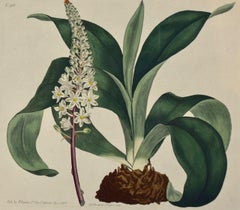
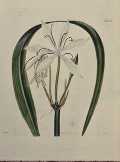
- Flowering Sea Onion: A 19th Century Hand-colored Engraving by William CurtisBy William CurtisLocated in Alamo, CAThis early 19th century hand-colored double fold-out botanical engraving is entitled "Ornithogalum Squilla" (Common Red-rooted Sea-Onion or Officinal Squill), plate 918, published in...Category
Early 1800s Naturalistic Still-life Prints
MaterialsEngraving
- Southern Holland: An Original 17th C. Hand-colored Visscher Map "Hollandiae"By Nicolaus VisscherLocated in Alamo, CAThis a beautiful framed hand colored 17th century map of the southern portions of Holland by Nicolaus (Nicolas) Visscher II entitled "Hollandiae pars Meridionalis, vulgo Zuyd-Holland", published in Amsterdam in 1678. The map shows the region between Breda, Heusden, Gornichem, Gouda, Dordrecht, and Willemstad. It includes a decorative cartouche in the lower left corner. The map is presented in an attractive maple colored wood frame with gold trim and a fabric mat. The map is in very good condition. The Visscher family were one of the great cartographic families of the 17th century. Begun by Claes Jansz Visscher...Category
Late 17th Century Other Art Style Landscape Prints
MaterialsEngraving
- Flowering Crinum Plant: A 19th C. Hand-colored Botanical Engraving by CurtisBy William CurtisLocated in Alamo, CAThis early 19th century hand-colored double fold-out botanical engraving is entitled "Crinum Arenarium" (Water-Island Sand Crinum), plate 2355, published in London in 1822 in William...Category
1820s Naturalistic Still-life Prints
MaterialsEngraving
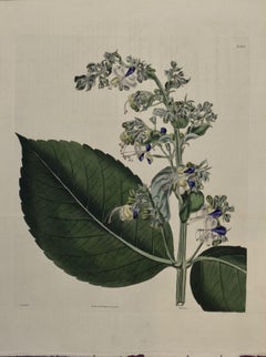
- A 19th Century Curtis Hand-colored Engraving of a Flowering Clerodendrum PlantBy William CurtisLocated in Alamo, CAThis early 19th century hand-colored double fold-out botanical engraving is entitled "Clerodendrum Macrophyllum" (Broad-Leaved Clerodendrum), plate 2356, published in London in 1824 ...Category
1820s Naturalistic Still-life Prints
MaterialsEngraving
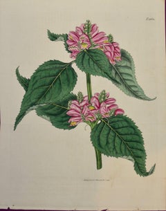
- Flowering Lyons' Chelone Botanical: A 19th C. Hand-colored Engraving by CurtisBy William CurtisLocated in Alamo, CAThis early 19th century hand-colored double fold-out botanical engraving is entitled "Chelone Major" (Flowering Lyons' Chelone plant), plate 1864, published in London in 1816 in Will...Category
1810s Naturalistic Still-life Prints
MaterialsEngraving


You May Also Like
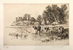
- Cowdray Castle (with cows)By Sir Francis Seymour Haden, R.A.Located in Roma, ITBeautiful proof on verge, with note “Pl.194” and signed by the artist in pencil. Full margins. Ex-coll. H.H. Benedict (Lugt 1298), with dry stamp not identified. Ref. Cat. Harrington...Category
1880s Post-Impressionist Landscape Prints
MaterialsDrypoint, Etching
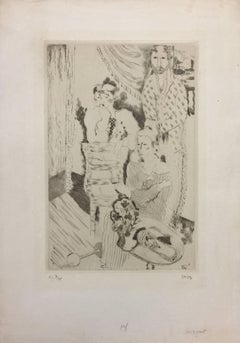
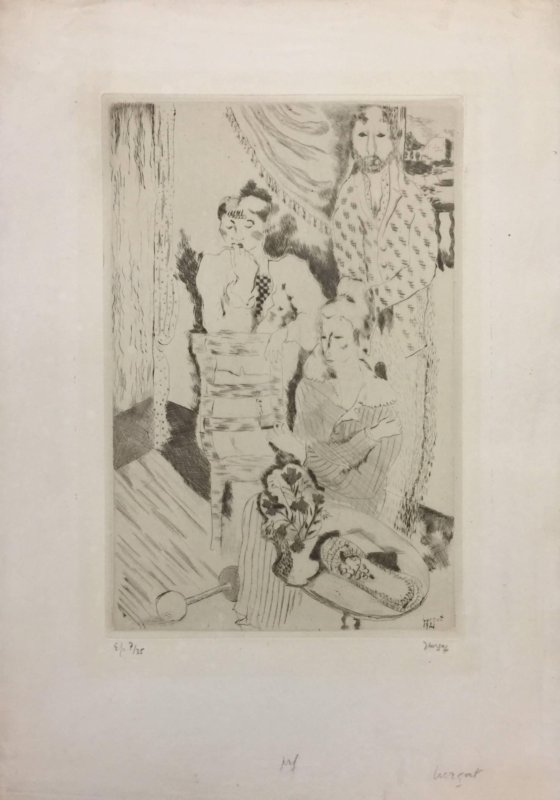
- Group of three Clowns - Etching and Drypoint by Jean Lurçat - 1921By Jean LurçatLocated in Roma, ITHand Signed and signed on plate. Edition of 35 prints. Image Dimensions : 30 x 20 cm This artwork is shipped from Italy. Under existing legislation, any artwork in Italy created ove...Category
1920s Post-Impressionist Landscape Prints
MaterialsDrypoint, Etching
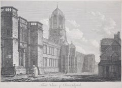
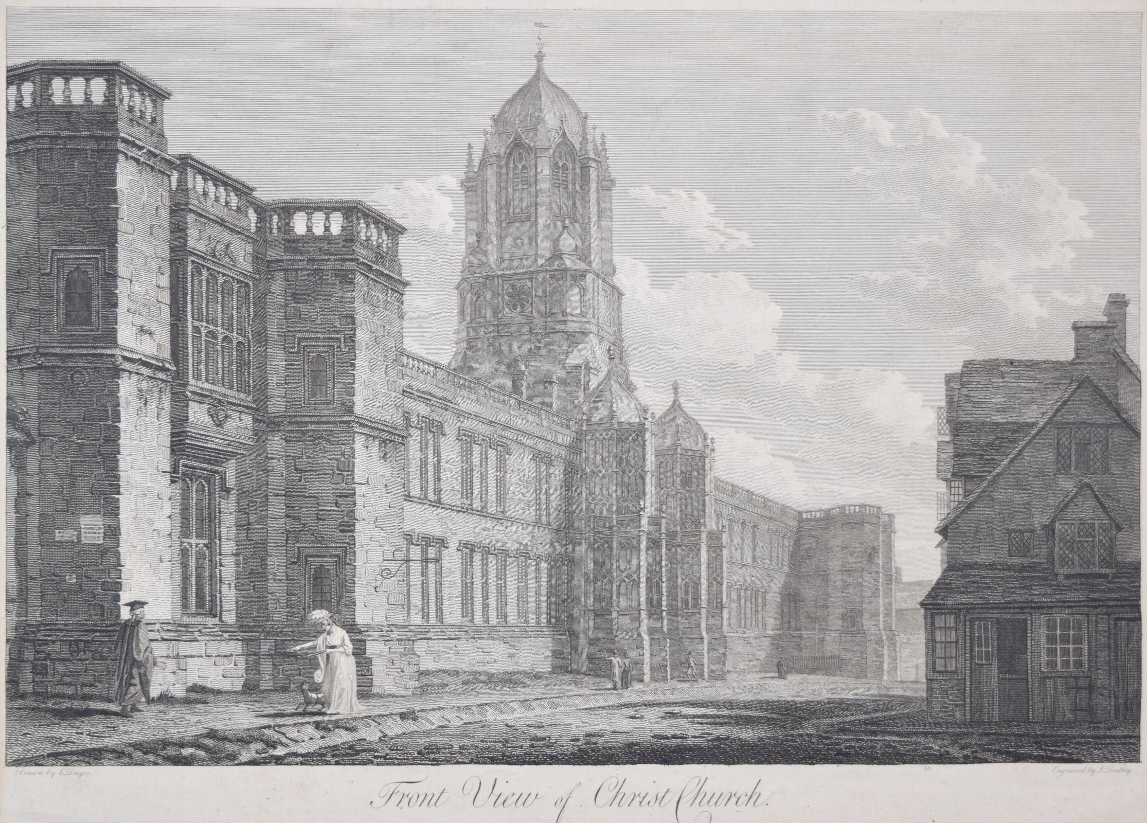
- Christ Church, Oxford 18th century engraving by John Dadley after Edward DayesLocated in London, GBTo see our other views of Oxford and Cambridge, scroll down to "More from this Seller" and below it click on "See all from this Seller" - or send us a message if you cannot find the ...Category
1790s Landscape Prints
MaterialsEngraving
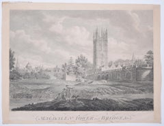
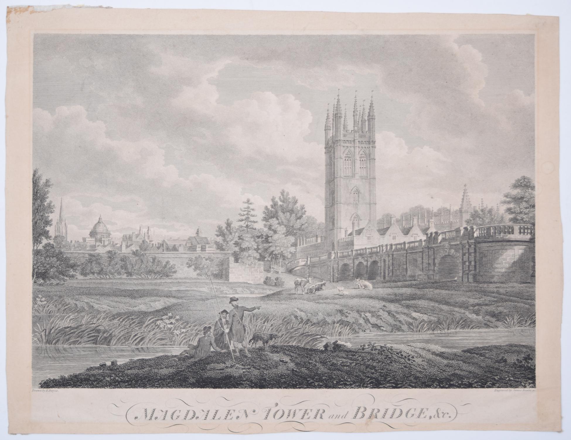
- Magdalen College, Oxford Tower and Bridge 18th century engraving by James BasireLocated in London, GBTo see our other views of Oxford and Cambridge, scroll down to "More from this Seller" and below it click on "See all from this Seller" - or send us a message if you cannot find the ...Category
1790s Landscape Prints
MaterialsEngraving
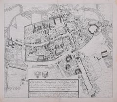
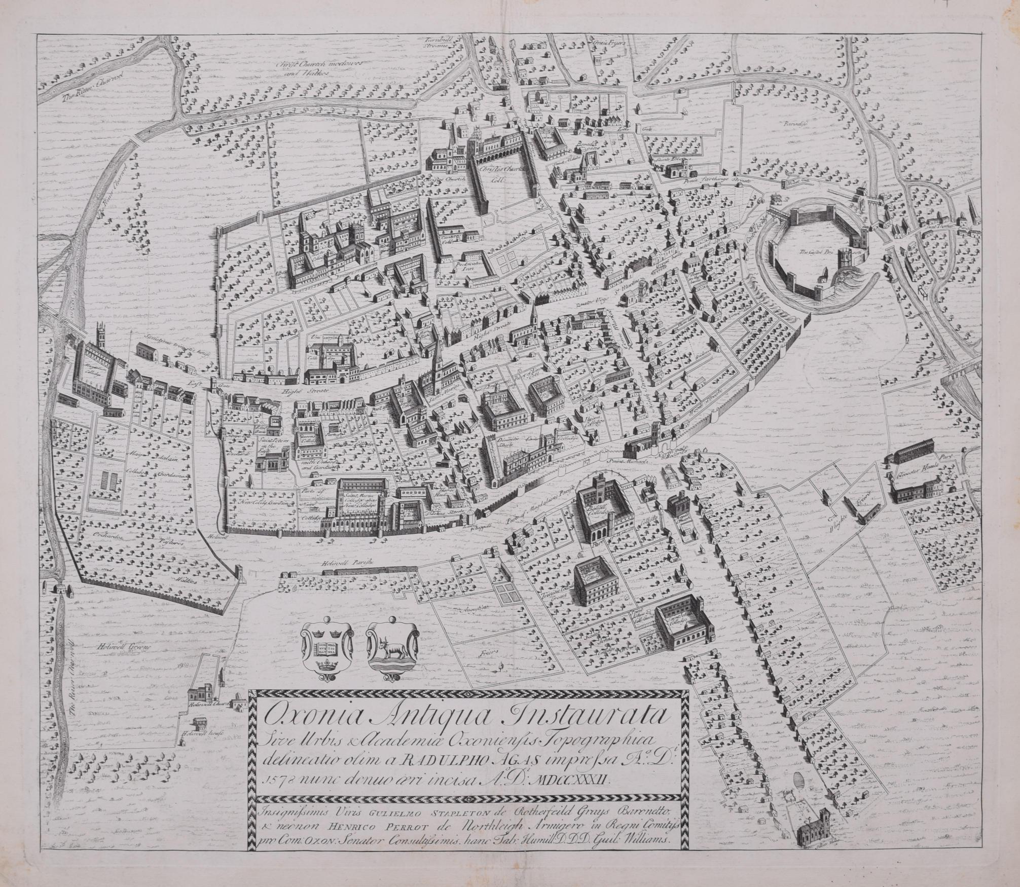
- The First Map of Oxford engraving by William Williams after Ralph AgasLocated in London, GBTo see our other views of Oxford and Cambridge, scroll down to "More from this Seller" and below it click on "See all from this Seller" - or send us a message if you cannot find the view you want. William Williams (active 1724 - 1733) after Ralph Agas (c. 1540 - 1621) The First Map of Oxford (1733) Engraving 47 x 54 cm In 1578, Ralph Agas drew the first ever map of Oxford, studded with the first colleges of the University. In 1733 it was engraved by William Williams for publication in the Oxonia Depicta, a book of illustrations depicting similar views as David Loggan's volume of engravings. Ralph Agas was an English surveyor and cartographer. He was born in Suffolk and lived there throughout his life, although he travelled regularly to London. He began to practise as a surveyor in about 1566, and has been described as "one of the leaders of the emerging body of skilled land surveyors". regular work consisted of drawing up local estate maps...Category
1730s Landscape Prints
MaterialsEngraving
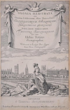
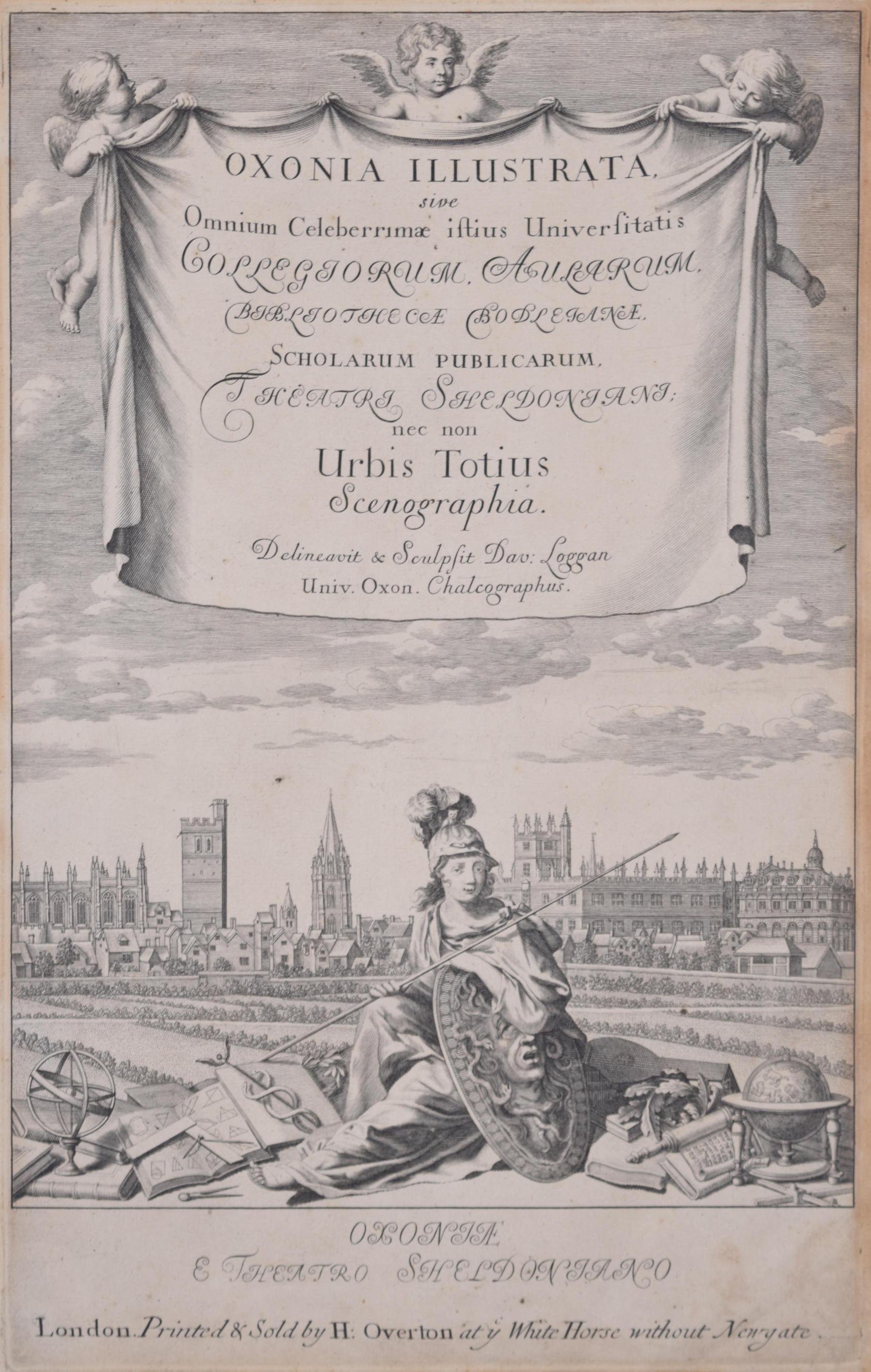
- University of Oxford Oxonia Illustrata 1675 engraving by David LogganBy David LogganLocated in London, GBTo see our other views of Oxford and Cambridge, scroll down to "More from this Seller" and below it click on "See all from this Seller" - or send us a message if you cannot find the ...Category
1670s Old Masters Prints and Multiples
MaterialsEngraving