Items Similar to 17th Century Hand-Colored Map of West Africa by Mercator/Hondius


Want more images or videos?
Request additional images or videos from the seller
1 of 6
17th Century Hand-Colored Map of West Africa by Mercator/Hondius
About the Item
A 17th century hand-colored map entitled "Guineae Nova Descriptio" by Gerard Mercator and Jodocus Hondius, published in their 'Atlas Minor' in Amsterdam in 1635. It is focused on the modern day African countries of Guinea, Sierra Leone, Liberia, Ivory Coast, Ghana, Togo and Benin. A sea monster is seen in the Ethiopicus Ocean (the Gulf of Guinea). A large inset map in the left corner depicts the Island of Isle of Thomae (modern day São Tomé and Príncipe) in detail, which includes the Citadel marked in red. A decorative strapwork cartouche in the lower portion of the map includes the map title.
The map is presented in an archival heather green colored mat. The mat measures 14" wide x 12" high and the map measures 11.25" wide x 7" high. There is English text on the verso. There is mild chipping about the edges, but the map is otherwise in very good condition.
Gerard Mercator (1512-1594) is one of the most famous cartographers of all time. He was born in Flanders and moved to Duisburg from Leuven in the Netherlands, where he lived and worked for the rest of his life. In addition to producing important maps and globes, he invented a projection on maps that presented all parallels and meridians at right angles to each other, with the distance between the parallels extending towards the poles, allowing accurate latitude and longitude calculation and navigational routes to be drawn using straight lines. This was an important technological advance for navigation at sea, as this allowed seafarers to plot their course without having to adjust their course based on frequent compass readings. This has become know as Mercator projection on maps produced by subsequent cartographers to this day. He is also the first to use the term “atlas”, which was first used to describe his collection of maps gathered in one volume. The Mercator atlas was published in 1595, a year after Mercator’s death by his heirs.
Jodocus Hondius (1563-1612) was a prominent globe maker and map engraver from Ghent (Flanders). After spending some time in London, he established his business in Amsterdam in 1593. Hondius bought the plates of Gerard Mercator in 1604 and added around 40 of his own maps in an atlas that he first published in 1606, preserving Mercator's name. After his death in 1612 in Amsterdam, the business was continued by his sons Jodocus II and Henricus, who published the English edition of the Mercator and Hondius Atlas Minor in 1635 that contained this map.
- Dimensions:Height: 12 in (30.48 cm)Width: 14 in (35.56 cm)Depth: 0.13 in (3.31 mm)
- Materials and Techniques:Paper,Engraved
- Place of Origin:
- Period:Mid-17th Century
- Date of Manufacture:1635
- Condition:Wear consistent with age and use.
- Seller Location:Alamo, CA
- Reference Number:
About the Seller
5.0
Vetted Seller
These experienced sellers undergo a comprehensive evaluation by our team of in-house experts.
1stDibs seller since 2020
12 sales on 1stDibs
- ShippingRetrieving quote...Ships From: Alamo, CA
- Return PolicyA return for this item may be initiated within 7 days of delivery.
More From This SellerView All
- Southeastern Ireland: A 17th Century Hand Colored Map by Mercator and HondiusBy Gerard MercatorLocated in Alamo, CAA 17th century copperplate hand-colored map entitled "The Second Table of Ireland, Udrone" by Gerard Mercator and Jodocus Hondius, published in Amsterdam in 1635 in 'Cosmographicall ...Category
Antique Mid-17th Century Dutch Maps
MaterialsPaper
- 17th Century Hand-Colored Map of Southeastern England by Mercator and HondiusBy Gerard MercatorLocated in Alamo, CAA 17th century copperplate hand-colored map entitled "The Sixt Table of England" by Gerard Mercator and Jodocus Hondius, published in Amsterdam in 1635 in 'Cosmographicall Descriptio...Category
Antique Mid-17th Century Dutch Maps
MaterialsPaper
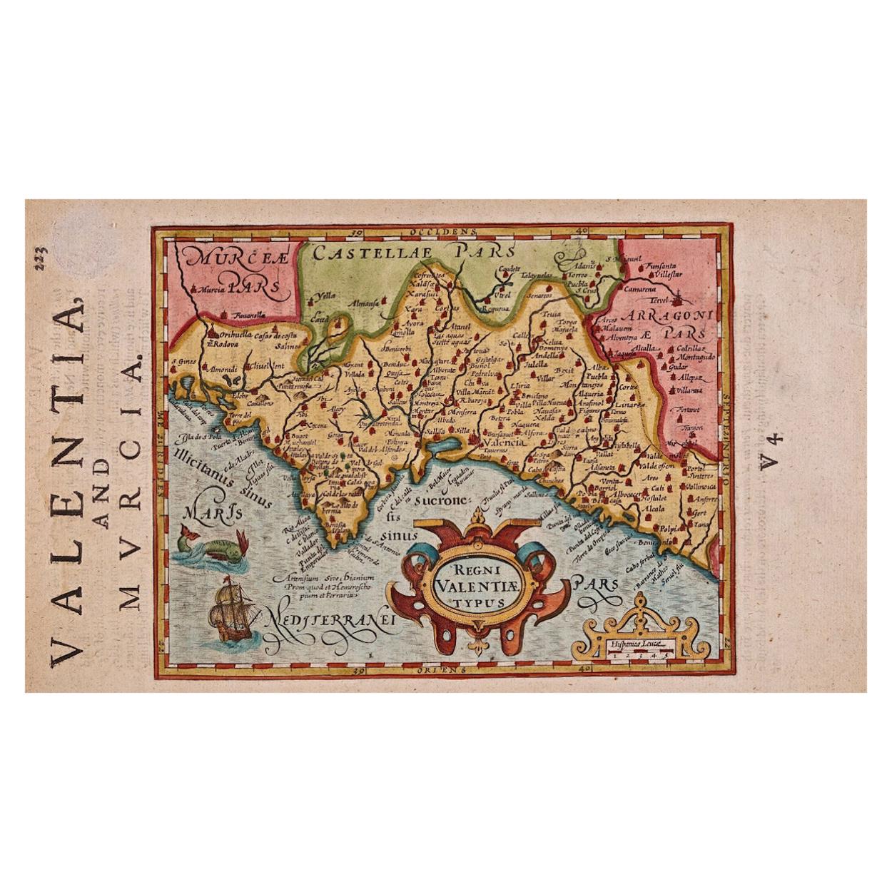
- 17th Century Hand-Colored Map of Valencia and Murcia, Spain by Mercator/HondiusBy Gerard MercatorLocated in Alamo, CAA 17th century hand-colored map entitled "Regni Valentiae Typus, Valentia and Murcia" by Gerard Mercator and Joducus Hondius, published in Amsterdam in 1635 in 'Cosmographicall Descr...Category
Antique Mid-17th Century Dutch Maps
MaterialsPaper
- Northern Scotland: A 17th Century Hand-colored Map by MercatorBy Gerard MercatorLocated in Alamo, CAThis is a framed hand-colored 17th century map of Northern Scotland by Gerard Mercator entitled "Scotiae pars Septentrionalis", published in Amsterdam in 1636. It is a highly detailed map of the northern part of Scotland, with the northwest Highlands and the cities Inverness and Aberdeen, as well as the Orkney Islands and the Hebrides. There is a decorative title cartouche in the upper left corner. The map is presented in an antiqued brown wood...Category
Antique 1630s Dutch Maps
MaterialsPaper
- "Africa Vetus": a 17th Century Hand-Colored Map by SansonBy Nicolas SansonLocated in Alamo, CAThis original hand-colored copperplate engraved map of Africa entitled "Africa Vetus, Nicolai Sanson Christianiss Galliar Regis Geographi" was originally created by Nicholas Sanson d...Category
Antique Late 17th Century French Maps
MaterialsPaper
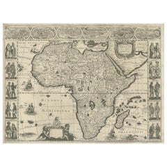
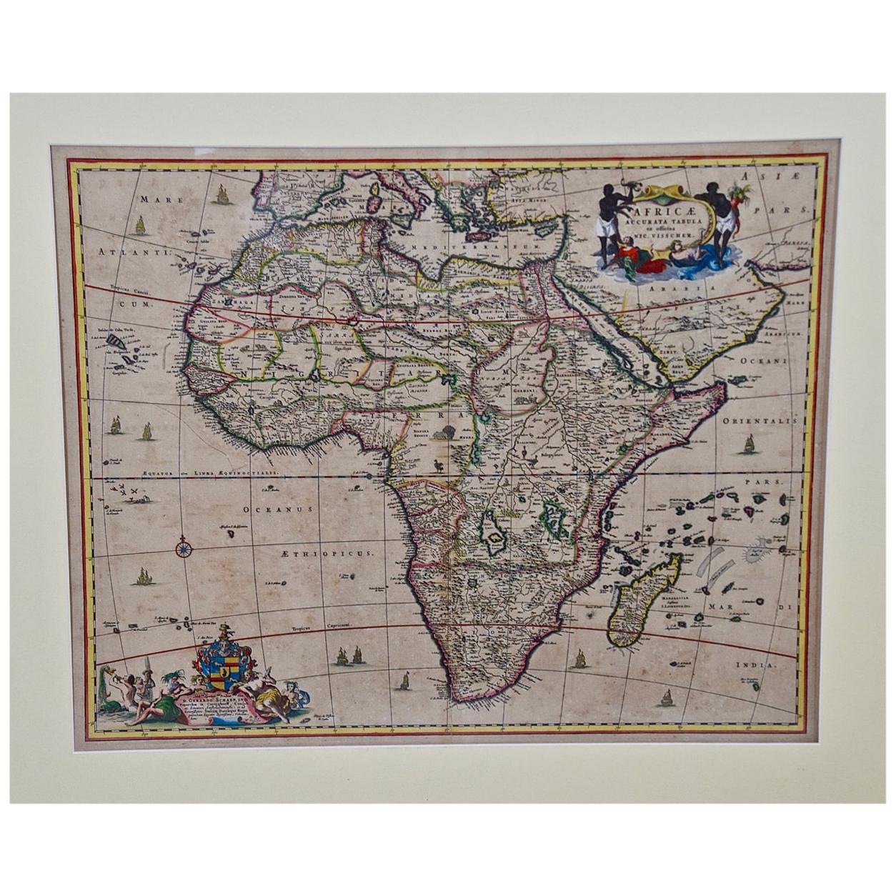
- "Africae Accurata", a Hand-Colored 17th Century Map of Africa by VisscherBy Nicolaes Visscher IILocated in Alamo, CAAn 18th century hand-colored map of Africa entitled "Africae Accurata Tabula ex officina" by Nicolaes Visscher, published in Amsterdam in 1680. This beautiful, colorful and detailed map is embellished by eleven sailing ships, a whale, flying fish and multiple land animals. It includes the Mediterranean Sea and adjacent portions of Portugal, Spain, Italy, Greece and Asia Minor. The map perpetuates several long-standing errors, including the origin of the Nile River from two imaginary lakes in southern Africa, which are shown adjacent to the imaginary Lunae Montes (Mountains of the Moon...Category
Antique Late 17th Century Dutch Maps
MaterialsPaper


You May Also Like
- Antique Map of England by Mercator/Hondius, circa 1600Located in Langweer, NLAntique map titled 'Westmorlandia, Lancastria, Caernvan, Denbigh, Flint, Merionidh, Dalopia cum issulis Mania et Anglesey'. Original antique map of England...Category
Antique 16th Century Maps
MaterialsPaper
- Antique Map of Westfalia, Germany by Mercator/Hondius, circa '1620'Located in Langweer, NLAntique map titled 'Westfalia cum dioecelsi Bremensi'. Original antique map of Germany. Published by Mercator/Hondius, circa '1620' 17th Century antique detailled map of Westphali...Category
Antique 16th Century Maps
MaterialsPaper
- Antique Map of Northern Ireland by Mercator/Hondius, Early 1600'sLocated in Langweer, NLAntique map titled 'Ultoniae Orientalis Pars'. Original antique map of Northern Ireland. Published by Mercator/Hondius, ca. 1600. Superb early map of the eastern part of Ulster, featuring Down and Antrim Counties in Northern Ireland. Mercator's famous moire pattern in the sea is used. Strong topographical features in the interior and ornamented with a title cartouche incorporating the distance scale. This was one of five Irish maps...Category
Antique 16th Century Maps
MaterialsPaper
- Antique Map of Africa Made after Hondius, circa 1655Located in Langweer, NLAntique map titled 'Africa Nova Tabula Auct Jud. Hondio'. Beautiful and rare paneled map of Africa, Based Upon Hondius' map. The first derivative of the map was issued separately by ...Category
Antique Mid-17th Century Maps
MaterialsPaper
- Original Hand-Colored Antique Map of Africa by Elwe '1792'Located in Langweer, NLAntique map titled 'l'Afrique Divisée en ses Empires, Royaumes, et Etats'. Decorative large map of Africa. The cartography is typical for the 17th century with the Nile originating i...Category
Antique Late 18th Century Maps
MaterialsPaper
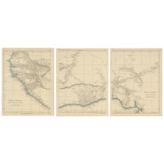
- Antique Map of West Africa by Lowry, 1852Located in Langweer, NLAntique map titled 'West Africa'. Three individual sheets of West Africa. This map originates from 'Lowry's table Atlas constructed and engraved from the most recent authorities' by ...Category
Antique Mid-19th Century Maps
MaterialsPaper