Items Similar to Large Antique County Map of Leicestershire, England, 1805
Want more images or videos?
Request additional images or videos from the seller
1 of 6
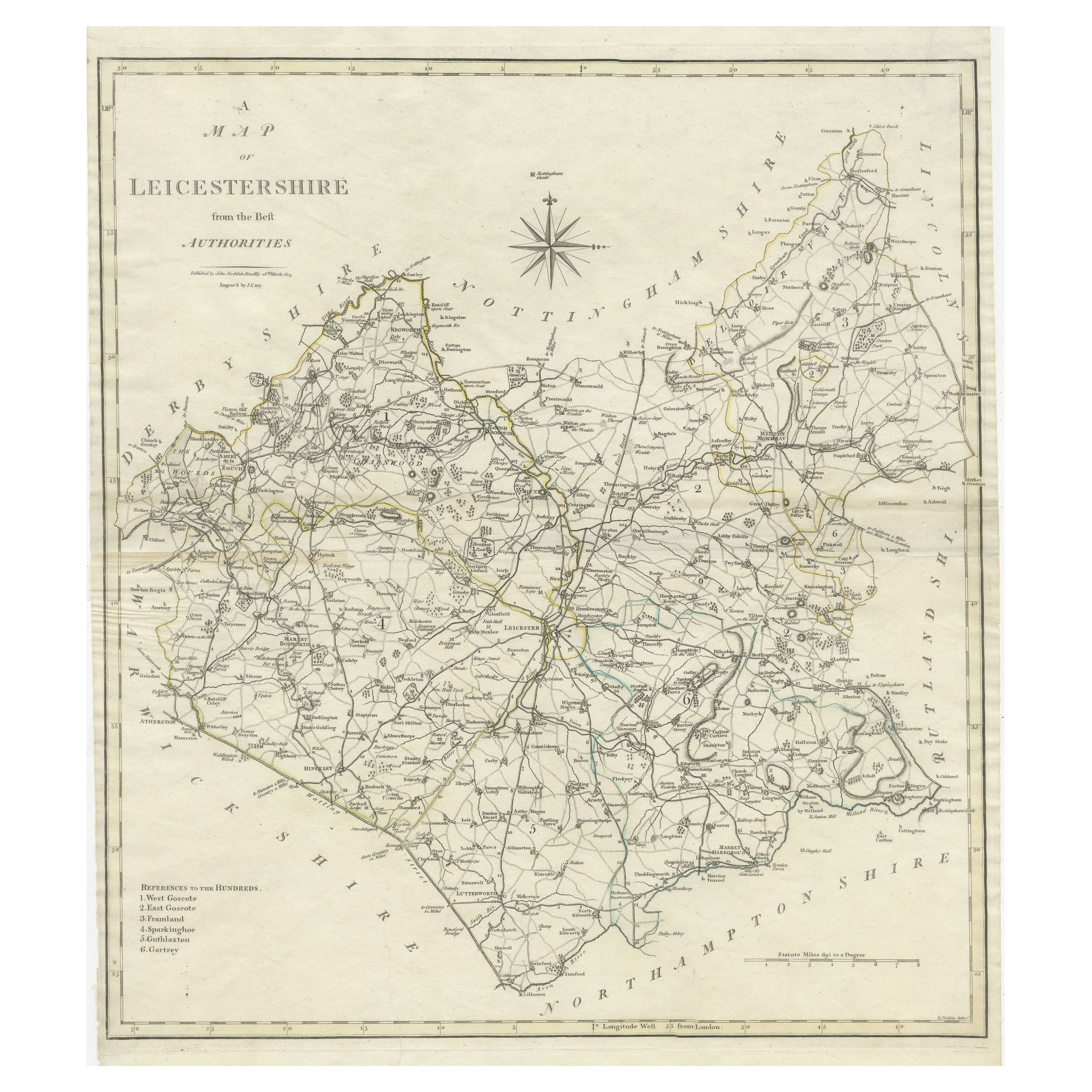
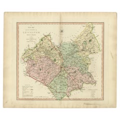
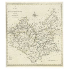
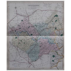
Large Antique County Map of Leicestershire, England, 1805
About the Item
Explore Leicestershire's Past: Antique Map by John Cary
Step into the history of Leicestershire, England, with this original old county map engraved by the renowned cartographer John Cary. Titled 'A Map of Leicestershire from the best Authorities,' this intricate map showcases the region's geography, boundaries, and landmarks, capturing the essence of the area during Cary's era.
Derived from the 'New British Atlas' by John Stockdale and published in 1805, this map represents Cary's distinct cartographic style and meticulous engraving techniques. Cary, a prominent British cartographer and publisher from 1755 to 1835, revolutionized the map industry with his refined artistry and precision.
Known for his influence on mapmaking, Cary's work set high standards for clarity and detail, shaping the entire cartographic landscape. His dedication to accuracy and distinct style is evident in this Leicestershire map, making it not only a historical document but also a testament to Cary's enduring legacy in the world of cartography.
Collectors, historians, and map enthusiasts alike treasure Cary's maps for their historical significance and aesthetic appeal. This antique map serves as a timeless representation of Leicestershire's geography, offering a glimpse into the past while celebrating Cary's enduring impact on the art of mapmaking.
- Dimensions:Height: 20.36 in (51.7 cm)Width: 17.33 in (44 cm)Depth: 0.02 in (0.5 mm)
- Materials and Techniques:
- Period:
- Date of Manufacture:1805
- Condition:General age-related toning. Original folding lines. Minor wear and soiling, narrow margins. Please study image carefully.
- Seller Location:Langweer, NL
- Reference Number:
About the Seller
5.0
Platinum Seller
These expertly vetted sellers are 1stDibs' most experienced sellers and are rated highest by our customers.
Established in 2009
1stDibs seller since 2017
1,967 sales on 1stDibs
Typical response time: <1 hour
- ShippingRetrieving quote...Ships From: Langweer, Netherlands
- Return PolicyA return for this item may be initiated within 14 days of delivery.
More From This SellerView All
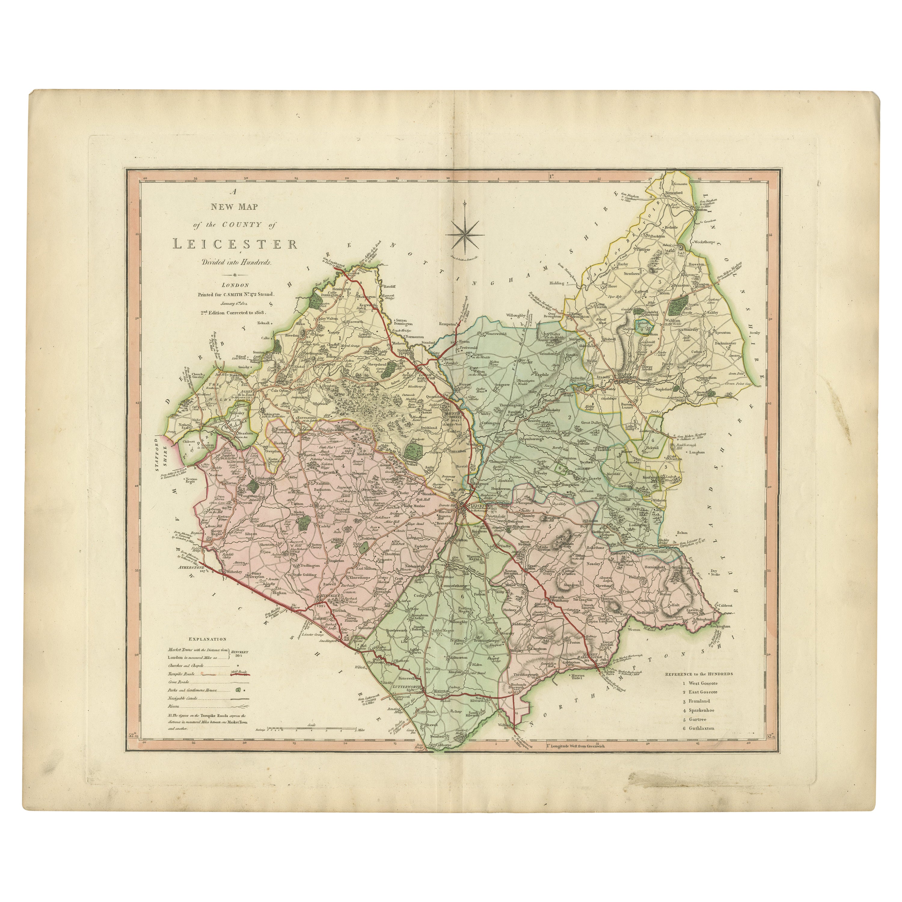
- Antique County Map of Leicestershire, England, 1804Located in Langweer, NLAntique county map of Leicestershire first published c.1800. Villages, towns, and cities illustrated include Lutterworth, Ashby, Hinkley, and Marke...Category
Antique Early 1800s Maps
MaterialsPaper
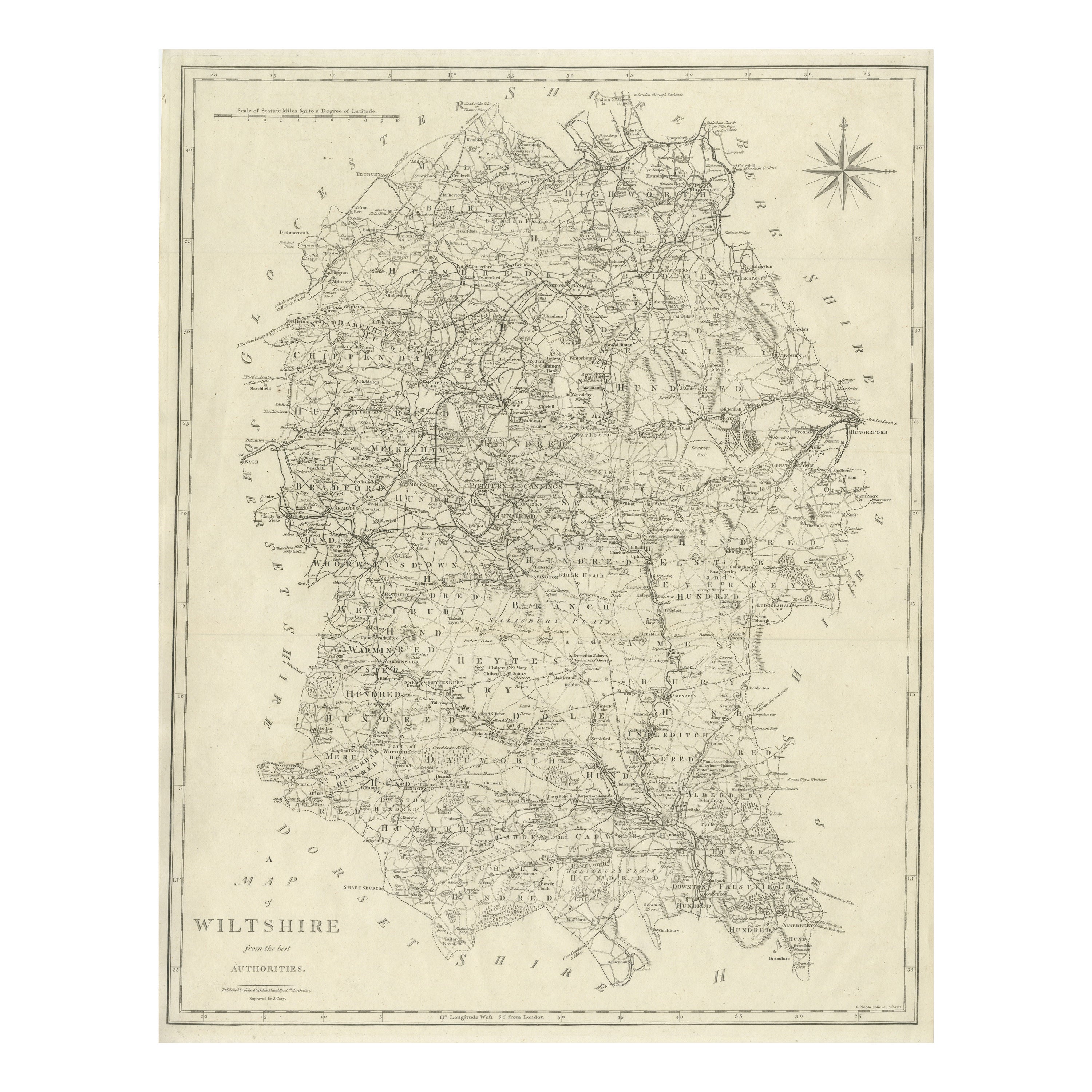
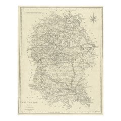
- Large Antique County Map of Wiltshire, England, 1805Located in Langweer, NLAntique map titled 'A Map of Wiltshire from the best Authorities'. Original old county map of Wiltshire, England. Engraved by John Cary. Originates from 'New British Atlas' by John S...Category
Antique Early 19th Century Maps
MaterialsPaper
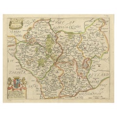
- Large Antique County Map of Leicestershire, England, with Outline ColoringLocated in Langweer, NLAntique map titled 'A Map of Leicestershire from the best Authorities'. Original old county map of Leicestershire, England. Engraved by John Cary. Originates from 'New British Atlas'...Category
Antique Early 19th Century Maps
MaterialsPaper
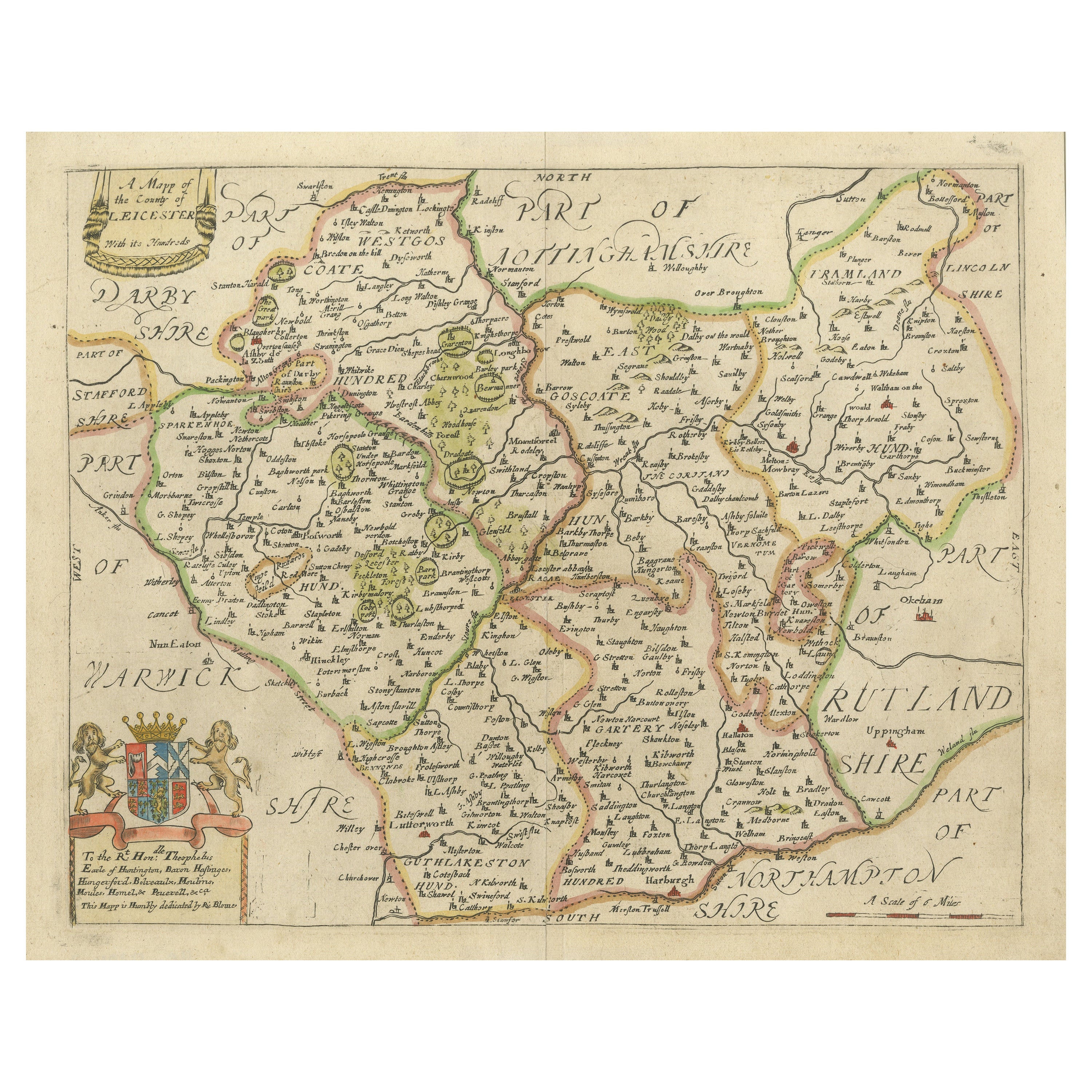
- Original Antique Map of Leicestershire, EnglandLocated in Langweer, NLAntique map titled 'A Mapp of the Country of Leicester'. Original old map of Leicestershire, England. This map originates from 'Britannia: or, a Geographical Description of the Kingd...Category
Antique Late 17th Century Maps
MaterialsPaper
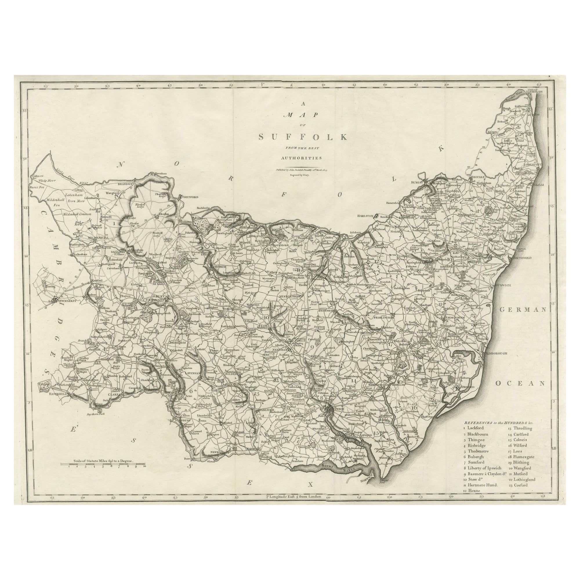
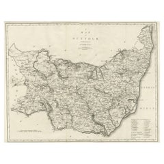
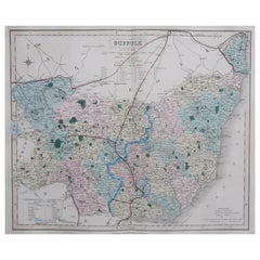
- Large Antique County Map of Suffolk, EnglandLocated in Langweer, NLAntique map titled 'A Map of Suffolk from the best Authorities'. Original old county map of Suffolk, England. Engraved by John Cary. Originates from 'New British Atlas' by John Stock...Category
Antique Early 19th Century Maps
MaterialsPaper
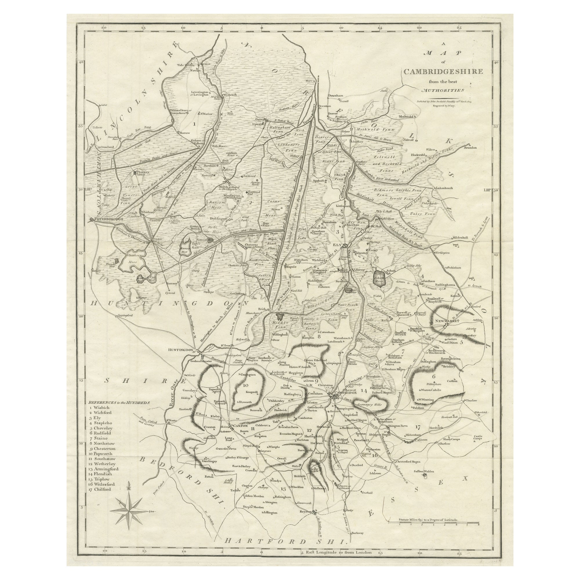
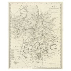
- Large Antique County Map of Cambridgeshire, EnglandLocated in Langweer, NLAntique map titled 'A Map of Cambridgeshire from the best Authorities'. Original old county map of Cambridgeshire, England. Engraved by John Cary. Originates from 'New British Atlas'...Category
Antique Early 19th Century Maps
MaterialsPaper
You May Also Like
- Original Antique English County Map, Leicestershire, J & C Walker, 1851Located in St Annes, LancashireGreat map of Leicestershire Original colour By J & C Walker Published by Longman, Rees, Orme, Brown & Co. 1851 Unframed.Category
Antique 1850s English Other Maps
MaterialsPaper
- Hampshire County, Britain/England: A Map from Camden's" Britannia" in 1607By John NordenLocated in Alamo, CAAn early hand-colored map of Britain's Hampshire county, published in the 1607 edition of William Camden's great historical description of the British Isles, "Britannia". This map was drawn by cartographer John Norden (c. 1547-1625) and engraved by William Hole (active 1607-1624) and William Kip...Category
Antique Early 17th Century English Maps
MaterialsPaper
- Original Antique English County Map, Suffolk, J & C Walker, 1851Located in St Annes, LancashireGreat map of Suffolk Original colour By J & C Walker Published by Longman, Rees, Orme, Brown & Co. 1851 Unframed.Category
Antique 1850s English Other Maps
MaterialsPaper
- Original Antique English County Map, Hertfordshire. J & C Walker, 1851Located in St Annes, LancashireGreat map of Hertfordshire Original colour By J & C Walker Published by Longman, Rees, Orme, Brown & Co. 1851 Unframed.Category
Antique 1850s English Other Maps
MaterialsPaper
- Original Antique English County Map, Durham, J & C Walker, 1851Located in St Annes, LancashireGreat map of Durham Original colour By J & C Walker Published by Longman, Rees, Orme, Brown & Co. 1851 Unframed.Category
Antique 1850s English Other Maps
MaterialsPaper
- Original Antique English County Map, Somerset. J & C Walker, 1851Located in St Annes, LancashireGreat map of Somerset Original colour By J & C Walker Published by Longman, Rees, Orme, Brown & Co. 1851 Unframed.Category
Antique 1850s English Other Maps
MaterialsPaper


Recently Viewed
View AllMore Ways To Browse
History Of England
New England Early Furniture
Antique Copper Australia
Antique Iranian Map
Antique Map New South Wales
Antique Newfoundland Canada
Bush Antiques
Canadian Atlas Furniture
Harley Antique
Iran Antique Map
Map Of Jerusalem
Map Of Ohio
Map Sea Monsters
Maria Magdalena
Richard Wentworth
Teak Sphere
Antique Agricultural Scales
Antique Florida Map