Items Similar to Original Antique Map of the Sangi Islands and of the Talaud Islands, Indonesia


Want more images or videos?
Request additional images or videos from the seller
1 of 6
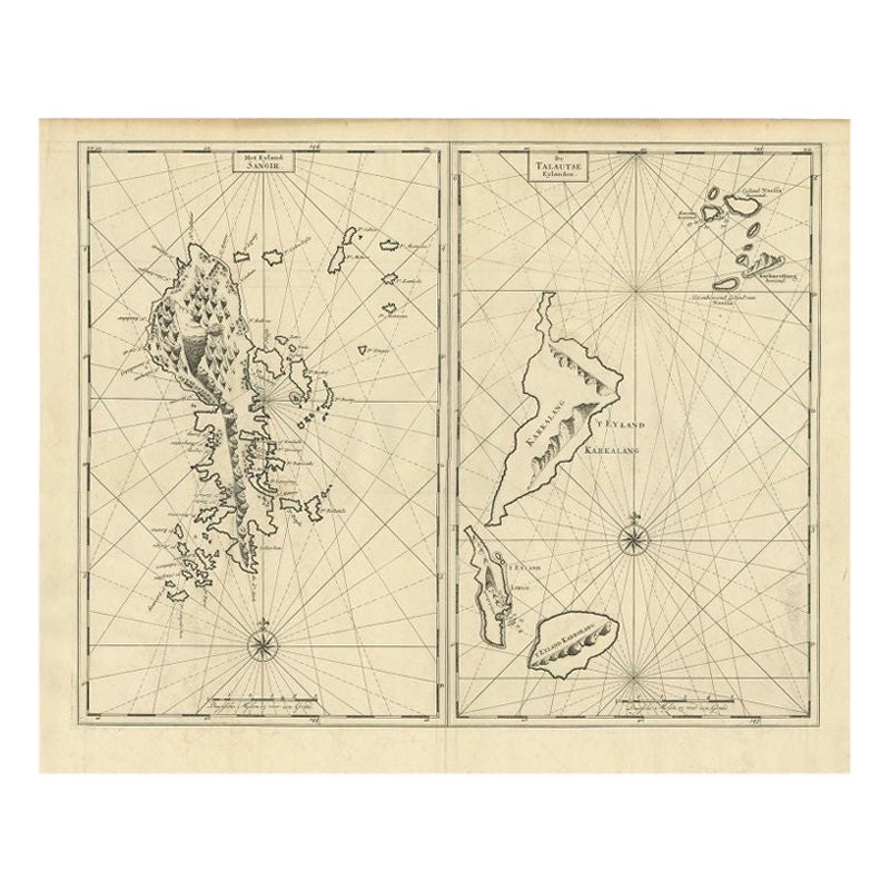
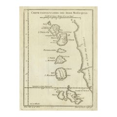
Original Antique Map of the Sangi Islands and of the Talaud Islands, Indonesia
About the Item
Dutch print with the title: De Talautse Eylanden
Map of the Sangi Islands, and of the Talaud Islands, Indonesia.
The map is taken from: 'Oud en Nieuw Oost-Indiën' van François Valentyn.
1) Ottens, Frederik (engraver / etcher)
2) Braam, J. van (publisher)
3) Linden, Gerard onder de (publisher)
The antique map titled "De Talautse Eylanden" crafted by Valentijn is a captivating cartographic masterpiece showcasing the Talaut Islands. This intricately detailed map offers a mesmerizing depiction of the Talaut archipelago, nestled within the Indonesian expanse.
Valentijn's cartographic expertise comes to life as he meticulously delineates the islands' geography, coastlines, and possibly notable landmarks or features. With exquisite precision, this map paints a vivid picture of the Talaut Islands, an enchanting group within the Indonesian archipelago.
Crafted with an eye for detail, the map might include ornate embellishments, navigational aids like compass roses or scale bars, enriching its visual appeal and utility. As part of François Valentijn's extensive narratives, this map contributes to the historical legacy of the Indonesian islands, offering a glimpse into the geographic intricacies and allure of the Talaut archipelago.
Valentyn, a distinguished cartographer and historian, left an indelible mark with his comprehensive narratives. This map, likely a part of his works published in the 17th and 18th centuries, provides a historical window into the allure of the Banda Islands, reflecting their significance in the spice trade and the broader colonial history of the region.
Published between 1724-1726 in Dordrecht by Joannes van Braam and Gerard Onder de Linden as part of "Oud en nieuw Oost-Indiën," this captivating engraving forms part of François Valentyn's meticulous narrative. Offering a vivid portrayal of Dutch power in the region, it presents a rich tapestry of descriptions encompassing the Moluccas, the Dutch comptoir in Surat, and intriguing insights into the lives of the Great Moguls. An evocative piece, it invites you on a historical voyage through the treasures and maritime legacy of the Malabar Coast.
- Dimensions:Height: 19.3 in (49 cm)Width: 11.42 in (29 cm)Depth: 0 in (0.02 mm)
- Materials and Techniques:Paper,Engraved
- Period:1720-1729
- Date of Manufacture:1726
- Condition:Very good condition, especially considering its age. A view folding lines are visible. The coloring is from recent years on a slightly discolored sheet due to age. Small margins on the left and right. Study the image carefully.
- Seller Location:Langweer, NL
- Reference Number:Seller: BG-13424-101stDibs: LU3054337349312
About the Seller
5.0
Platinum Seller
These expertly vetted sellers are 1stDibs' most experienced sellers and are rated highest by our customers.
Established in 2009
1stDibs seller since 2017
1,965 sales on 1stDibs
Typical response time: <1 hour
- ShippingRetrieving quote...Ships From: Langweer, Netherlands
- Return PolicyA return for this item may be initiated within 14 days of delivery.
More From This SellerView All
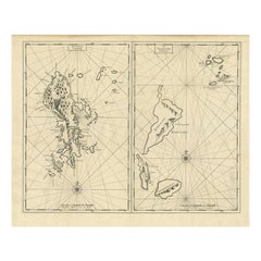
- Antique Map of Sangir Island and the Talaud Islands by Valentijn, 1726Located in Langweer, NLAntique map titled 'Het Eyland Sangir & De Talautse Eylanden'. Two maps on one sheet. To the left, a map of Sangir Island, Indonesia. To the right, a map of the Talaud Islands, Indon...Category
Antique 18th Century Maps
MaterialsPaper
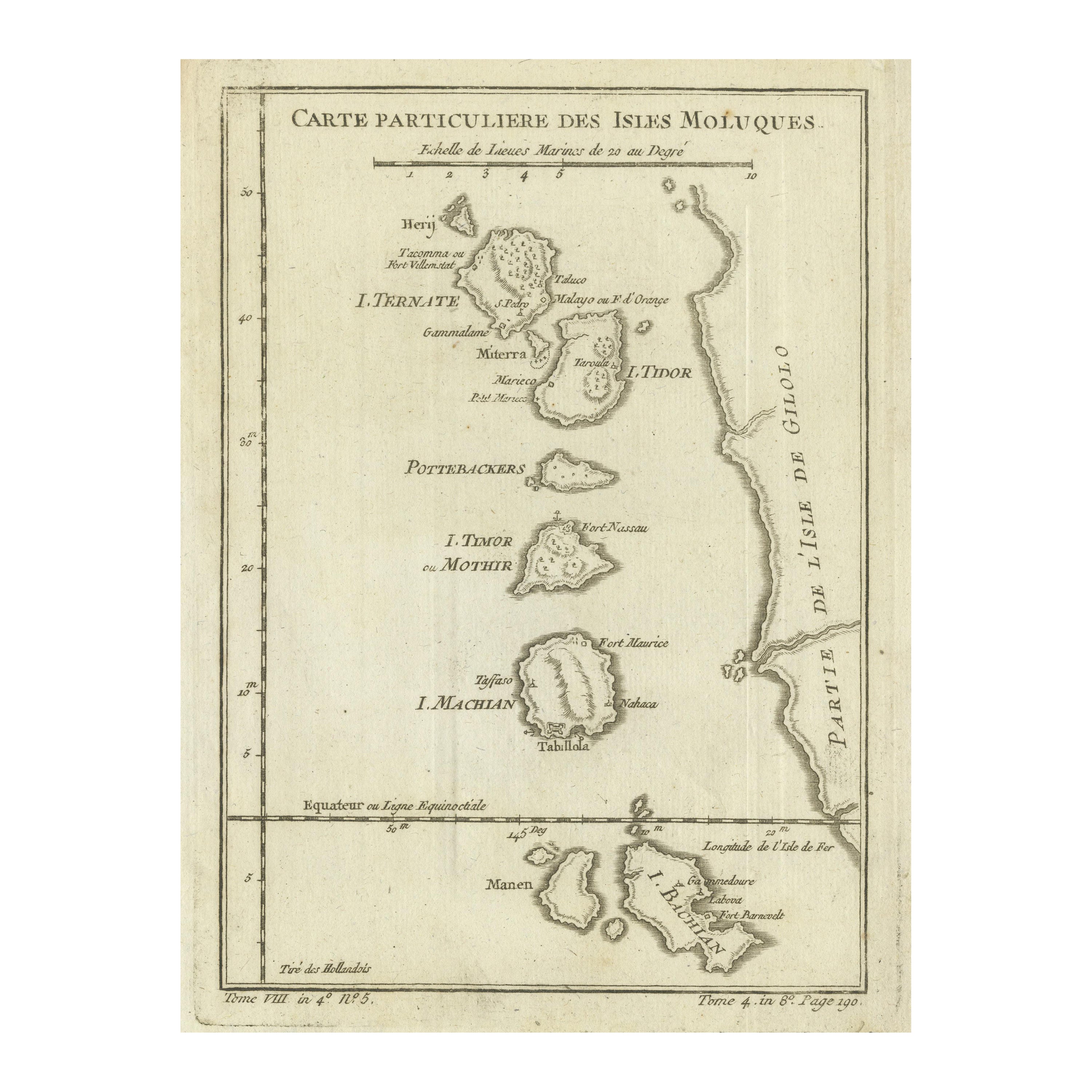
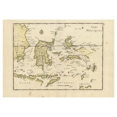
- Original Antique Map of the Maluku Islands or Moluccas, IndonesiaLocated in Langweer, NLAntique map titled 'Carte Particuliere des Isles Moluques'. This map depicts the islands of Herij, Ternate, Tidor, Pottebackers, Timor, Machian and Bachian. The Moluccan islands were...Category
Antique Mid-18th Century Maps
MaterialsPaper
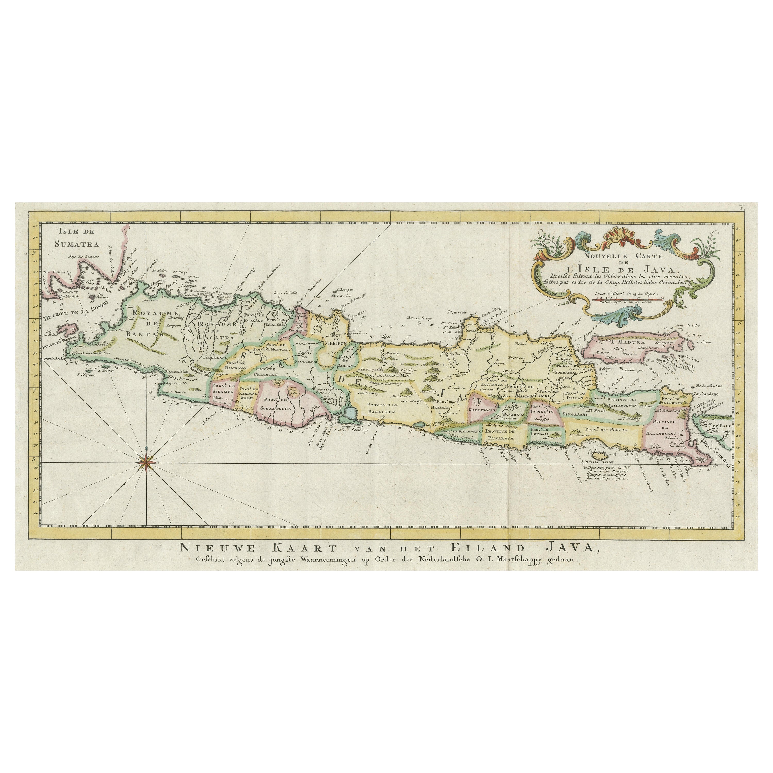
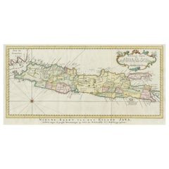
- Antique Map of the Island of Java, IndonesiaLocated in Langweer, NLAntique map titled 'Nouvelle Carte de l'Isle de Java (..) - Nieuwe Kaart van het Eiland Java (..)'. Chart of the island of Java, depicting soundings around the coast, all principal h...Category
Antique Late 18th Century Maps
MaterialsPaper
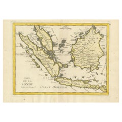
- Old Original Antique Map of the Sunda Islands of Indonesia, 1756Located in Langweer, NLTitle: Isles De La Sonde. Attractive old decorative map of the Isles de la Sonde, Borneo, Sumatra, Java and Malacca ( Malaysia) with the Straits of Malacca. Penang is spelled as P...Category
Antique 1750s Maps
MaterialsPaper
- Old Original Antique Map of the Islands of East Indonesia, 1756Located in Langweer, NLTitle: Isles Moluques. Old and rare, this decorative map of the Maluku Islands in the period it was still controlled by the Dutch colonial power. It also shows the island of Bali, Lombok, part of Borneo (Kalimantan), Celebes (Sulawesi), Timor, The Lesser Sunda Islands, West Papua...Category
Antique 1750s Maps
MaterialsPaper
- Antique Map of the Island Java, Indonesia, c.1650Located in Langweer, NLAntique map titled 'Insulae Iavae cum parte insularum Boreno Sumatrae (..)'. Beautiful map of the island of Java and part of Borneo, Bali, Madura and Sumatra. With decorative carto...Category
Antique 17th Century Maps
MaterialsPaper

You May Also Like
- Original Antique Map of Indonesia, 1861Located in St Annes, LancashireGreat map of Indonesia Drawn and engraved by Edward Weller Original color Published in The Weekly Dispatch Atlas, 1861 Repairs to minor e...Category
Antique 1860s English Victorian Maps
MaterialsPaper

- Large Original Antique Map of Rhode Island, USA, C.1900Located in St Annes, LancashireFabulous map of Rhode Island Original color Engraved and printed by the George F. Cram Company, Indianapolis. Published, C.1900 Unframed Free ...Category
Antique 1890s American Maps
MaterialsPaper
- Large Original Vintage Map of The Pacific Islands Including HawaiiLocated in St Annes, LancashireGreat map of The Pacific Islands Unframed Original color By John Bartholomew and Co. Edinburgh Geographical Institute Published, circa 1...Category
Vintage 1920s British Maps
MaterialsPaper
- 1854 Map of Massachusetts, Connecticut and Rhode Island, Antique Wall MapLocated in Colorado Springs, COThis striking wall map was published in 1854 by Ensign, Bridgman & Fanning and has both full original hand-coloring and original hardware. This impression is both informative and highly decorative. The states are divided into counties, outlined in red, green, and black, and subdivided into towns. Roads, canals, and railroad lines are prominently depicted, although they are not all labeled. The mapmakers also marked lighthouses, banks, churches, and prominent buildings, with a key at right. The map is an informative and comprehensive overview of the infrastructural development of New England prior to the Civil War. Physical geographies depicted include elevation, conveyed with hachure marks, rivers and lakes. The impression features an inset map of Boston...Category
Antique 19th Century American Maps
MaterialsPaper
- Original Antique Map of the American State of Nevada, 1889Located in St Annes, LancashireGreat map of Nevada Drawn and Engraved by W. & A.K. Johnston Published By A & C Black, Edinburgh. Original colour Unframed.Category
Antique 1880s Scottish Victorian Maps
MaterialsPaper
- Original Antique Map of the American State of Oregon, 1889Located in St Annes, LancashireGreat map of Oregon Drawn and Engraved by W. & A.K. Johnston Published By A & C Black, Edinburgh. Original colour Unframed.Category
Antique 1880s Scottish Victorian Maps
MaterialsPaper


Recently Viewed
View AllMore Ways To Browse
Maritime Compass
Antique Navigation Compass
Maritime Navigation Antiques
Van Braam
Antique Compass Maritime Compasses
Antique Compass Maritime
Maritime Rose
Antique Pennsylvania Map
French School Map
Kentucky Antiques
Map Of Alps
Antique Furniture Western Cape
Antique Map New Jersey
Antique Maps Essex
Antique Physics
Antique Puerto Rico
Antique Vineyard Map
Atlas Map Relief