Items Similar to Ireland
Want more images or videos?
Request additional images or videos from the seller
1 of 2
John SenexIreland1712
1712
About the Item
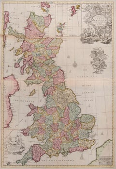
Ireland
SENEX, John.
Ireland Corrected from the Latest Observations Divided into its Provinces, Counties and Baronies. Shewing the Principal Roads, and the Distances of Places, in Common reputed Miles. by Inspection Where Barracks are Erected &c. By John Senex F.R.S.
John Senex F.R.S., the Globe against St Dunstans Church, Fleetstreet, London 1712 [-1728].
John Senex (1678-1740) was one of the foremost mapmakers in England in the early eighteenth century. He was also a surveyor, globemaker, and geographer. As a young man, he was apprenticed to Robert Clavell, a bookseller. He worked with several mapmakers over the course of his career, including Jeremiah Seller and Charles Price. In 1728, Senex was elected as a Fellow of the Royal Society, a rarity for mapmakers. The Fellowship reflects his career-long association as engraver to the Society and publisher of maps by Edmund Halley, among other luminaries. He is best known for his English Atlas (1714), which remained in print until the 1760s. After his death in 1740 his widow, Mary, carried on the business until 1755. Thereafter, his stock was acquired by William Herbert and Robert Sayer (maps) and James Ferguson (globes).
Double-page engraved map on 2 sheets joined, with full contemporary hand-colouring. Inset map of the British Isles, decorative title cartouche surmounted by a harp with a crown above, key table and scale bars. Left margin trimmed to neat line, some light creasing at edges with a couple of tiny marginal tears, otherwise good. Size: 665 mm by 960 mm, sheet size: 680 by 990 mm.
Framed and glazed, overall size: 107cm by 77.3cm by 2cm.
- Creator:
- Creation Year:1712
- Dimensions:Height: 42.13 in (107 cm)Width: 30.32 in (77 cm)Depth: 0.79 in (2 cm)
- Medium:
- Period:1710-1719
- Condition:
- Gallery Location:London, GB
- Reference Number:
About the Seller
5.0
Vetted Seller
These experienced sellers undergo a comprehensive evaluation by our team of in-house experts.
Established in 1979
1stDibs seller since 2020
11 sales on 1stDibs
Typical response time: 7 hours
- ShippingRetrieving quote...Ships From: London, United Kingdom
- Return PolicyA return for this item may be initiated within 14 days of delivery.
More From This SellerView All
- Great BritainBy John SenexLocated in London, GBGreat Britain SENEX, John. A New Map of Great Britain Corrected from the Observations communicated to the Royal Society at London. By John Senex F.R.S. To the Right Hono[ra]ble William Connelly ESQ. One of the Commissioners of His Maj[es]ties Revenue, Speakerof the Hono[a]ble House of Commons, and one of His Maj[es]ties most Hono[ra]ble Privy Council for Ye Kingdom of Ireland. This Map is dedicated by John Senex. John Senex F.R.S. 1710 [-1728]. John Senex (1678-1740) was one of the foremost mapmakers in England in the early eighteenth century. He was also a surveyor, globemaker, and geographer. As a young man, he was apprenticed to Robert Clavell, a bookseller. He worked with several mapmakers over the course of his career, including Jeremiah Seller and Charles Price...Category
1710s Naturalistic More Art
MaterialsWatercolor, Engraving
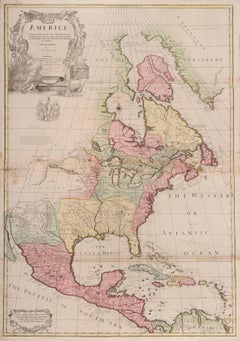
- one of the earliest large-scale English maps of North AmericaBy John SenexLocated in London, GBone of the earliest large-scale English maps of North America SENEX, John. North America Corrected from the Observations Communicated to the Royal Society at London, and the Royal Academy at Paris. By John Senex F.R.S. 1710. To the Honorable Anthony Hammond Esq. One of the Comissioners of Her Maj[es]ties Navy. This Map his humbly Dedicated and Presented by his Obliged Servants. John Senex F.R.S., 1710 [-1728]. A fine map of North and Central America, with the West Indies. One of the earliest large-scale English maps of North America. It represents a British attempt to consolidate new information about the region and borrows data from such recently published sources as Delisle’s landmark Carte du Mexique et de la Floride and Carte de la Canada. Senex improves upon De L'Isle's work with a fine depiction of the Great Lakes region and the most accurate definition of the lower Mississippi River and its delta by an English cartographer of the period. Several of the most important and controversial cartographic discoveries of the period are discussed at length, including Lahontan’s mythical Long River and the Salt Lake east of the Country of the Mozeemleck’s, both of which are also depicted in remarkable (albeit fanciful) detail. Sir William Phipps discovery of Spanish wrecks off the coast of the Caicos and Southern Bahamas is also noted. Senex also extended the map’s coverage to the Canadian Arctic and the Terra Incognita above Baffin’s Bay. Present-day Oklahoma and Texas are part of La Floride, considered at the time to be a possession of the French. The Red River and the Indian villages of East Texas are portrayed accurately, but Senex, following Delisle, incorrectly placed many Texas rivers...Category
1710s Naturalistic More Art
MaterialsWatercolor, Engraving
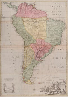
- South AmericaBy John SenexLocated in London, GBSouth America SENEX, John. South America Corrected from the Observations Communicated to the Royal Society’s of London & Paris. By John Senex. To Edmund Halley. LLD. Savilian Professor of Geometry in Oxford and Fellow of the Royal Society. This Map corrected from His own Discoveries In gratefull Acknowledgement of his Ready assistance to Encourage this Designe is Humbly Dedicated. John Senex, at the Globe against St Dunstans Church, Fleetstreet, London 1710 [-1728]. John Senex (1678-1740) was one of the foremost mapmakers in England in the early eighteenth century. He was also a surveyor, globemaker, and geographer. As a young man, he was apprenticed to Robert Clavell, a bookseller. He worked with several mapmakers over the course of his career, including Jeremiah Seller and Charles...Category
1710s Naturalistic More Art
MaterialsWatercolor, Engraving
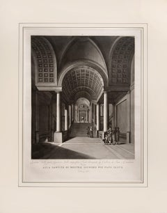
- Magnificent large plate illustrating the Vatican MuseumBy Vincenzo FeoliLocated in London, GBFEOLI, Vincenzo. Vedute del Museo Pio-Clementino. Rome, 1790. A double-page engraved plate after Miccinelli and Costa. Sheet size: 70.5cm by 99cm. Mounted size: 81cm by 101cm. Magnificent series of extra-large plates illustrating the Vatican Museum...Category
1790s Naturalistic Interior Prints
MaterialsEngraving
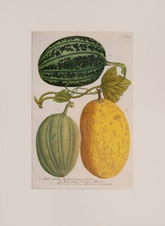
- MelonsBy Johann Wilhelm WeinmannLocated in London, GBWEINMANN, Johann Wilhelm. Melons Hieronymous Lenzius, Regensburg, [1735]-1737-1745. attractive plates, being one of the earliest examples of colour printing. Johann Weinmann (168...Category
Early 18th Century Naturalistic Figurative Prints
MaterialsLaid Paper, Mezzotint
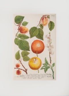
- Citrus and ApricotsBy Johann Wilhelm WeinmannLocated in London, GBWEINMANN, Johann Wilhelm. Citrus and Apricots Hieronymous Lenzius, Regensburg, [1735]-1737-1745. attractive plate, being one of the earliest examples of colour printing. Johann ...Category
Early 18th Century Naturalistic Figurative Prints
MaterialsMezzotint, Laid Paper
You May Also Like
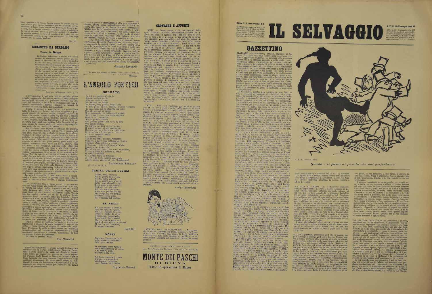
- Il Selvaggio #10 - Art Magazine with Engravings by Mino Maccari - 1934By Mino MaccariLocated in Roma, IT"Il Selvaggio, no.10- 1934", "Annual supporter subscription - Una copia 40 Cent - Fortnightly Newspaper letters arts and sciences" Original engravings by the artist Mino Maccari. 8 ...Category
1930s Modern More Art
MaterialsEngraving
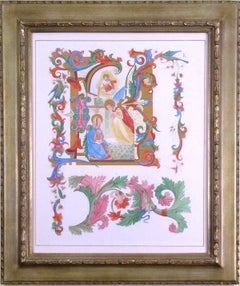
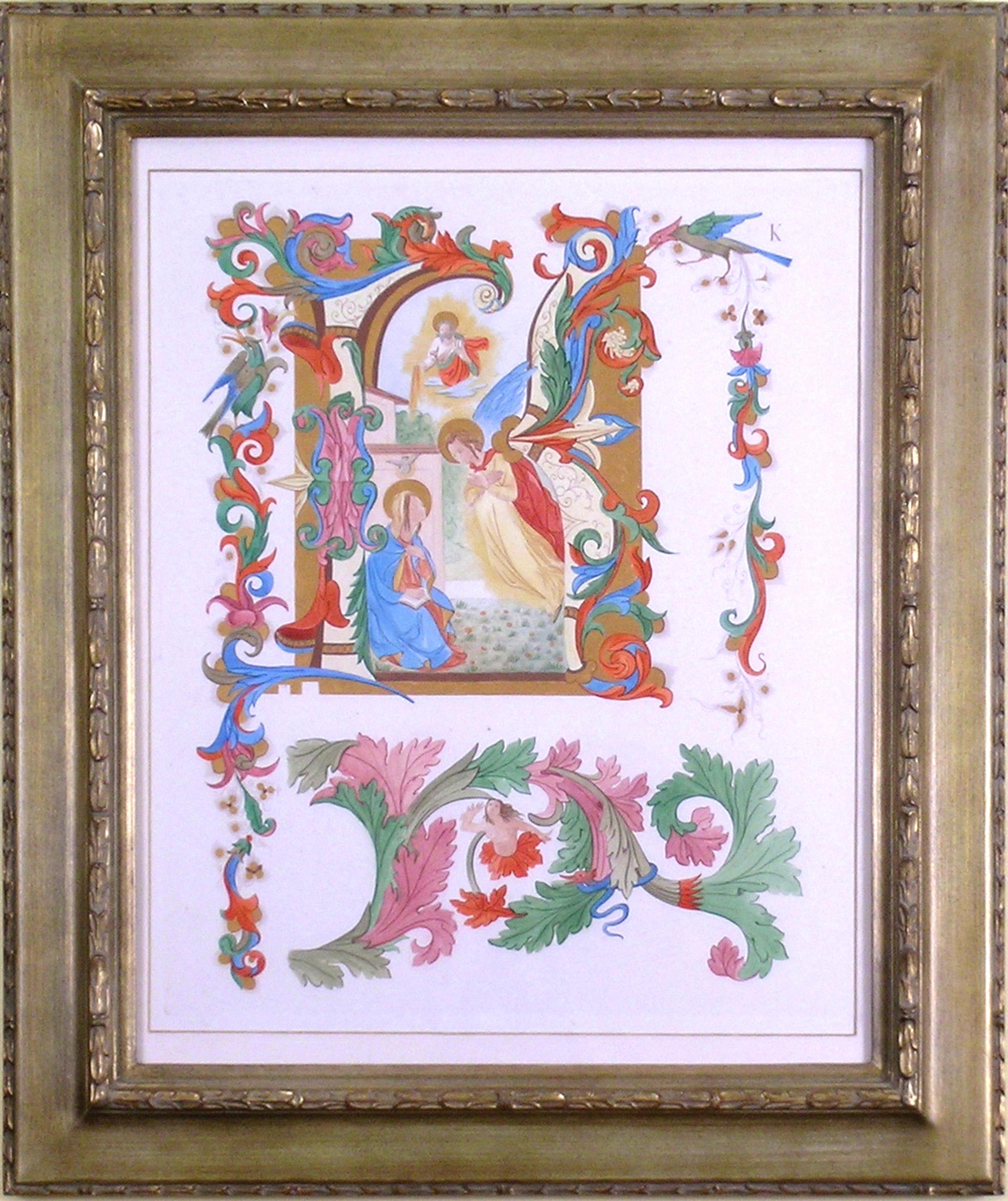
- Alphabet Letter "K"Located in Florham Park, NJAn Alphabet of Capital Letters: Selected from the Illuminations of Italian Chorale Books of the Fifteenth and Sixteenth Centuries. Arundel Society. London, 1862. Engraving. Printed...Category
1860s Academic More Prints
MaterialsGold
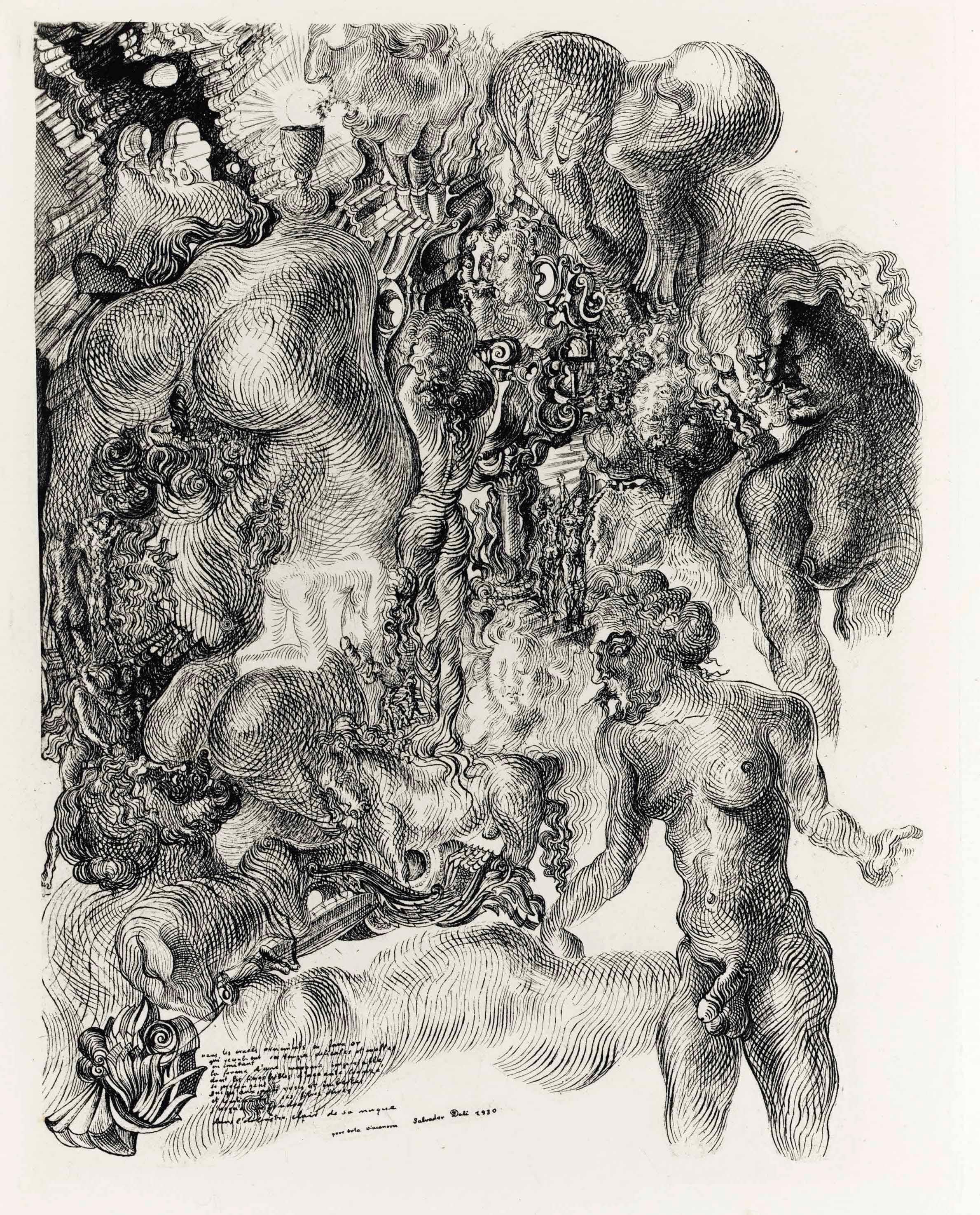
- La Femme Visible - Editions Surréalistes 1930 - Hand Dedication attr. to S. DalìBy Salvador DalíLocated in Roma, ITEdition of 175 specimens (plus 29 out of commerce) of this important book by Dalì, published by Editions Surréalistes in 1930 and one of the first books to...Category
1930s Surrealist More Art
MaterialsPaper, Engraving
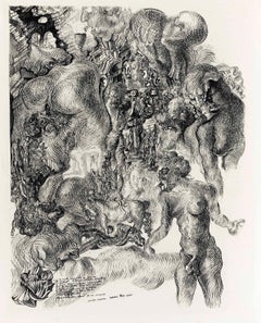
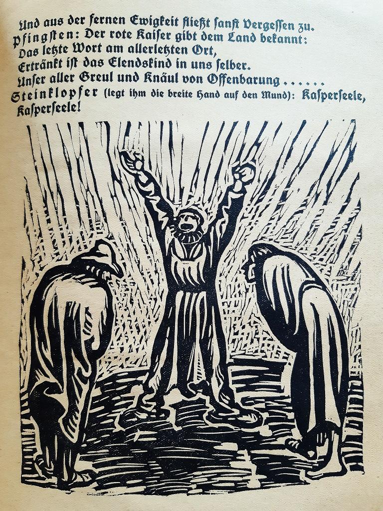
- Der Findling - Rare Book Engraved by Ernst Barlach - 1922By Ernst BarlachLocated in Roma, ITDer Findlich is an original Rare Book illustrated by the Expressionist German artist Ernst Barlach (1870- 1938) in 1922. Original First Edition. Format: in 4°. Published by Paul Cassirer, Berlin. The book includes 77 pages and Twenty several full page woodcuts. Mint conditions. Ernst Barlach (1870- 1938), a German expressionist sculptor, printmaker and writer. His participation in the war made him change his position, and he is mostly known for his artworks protesting against the war. Barlach trained under French artists and produced Art Nouveau-style sculpture and works on paper, but at first unable to find success. This led to a trip to Russia where the artist began creating figurative sculptures inspired by early Gothic art, carving spiritual and emotional themes from hard-woods and bronze casts. Barlach's fame increased after the war, he received many awards and became a member of the prestigious Preußische Akademie der Künste ( Prussian Art Academy) in 1919. He was a supporter of the war in the years leading to World War I, he generated many anti-war sculptures...Category
1920s Expressionist More Art
MaterialsPaper, Engraving
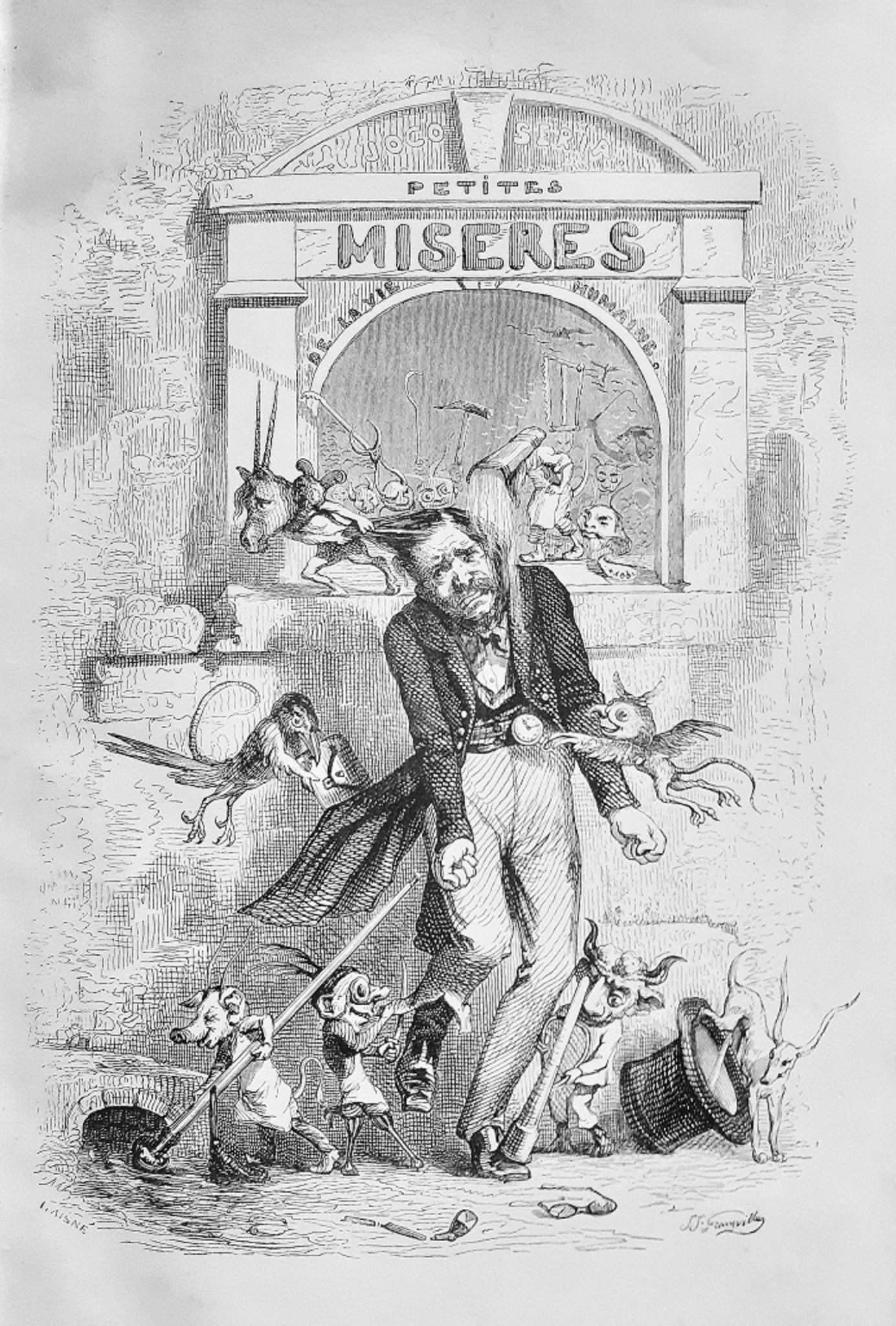
- Petites Misères de la Vie Humaine - Rare Book by J.J Grandville - 1846By Jean Jeacques GrandvilleLocated in Roma, ITPetites Misères de la Vie Humaine is an original modern rare book written by Nick Old and engraved by Jean Jeacques Grandville (Nancy, 1803 –...Category
1840s Modern More Art
MaterialsPaper, Engraving
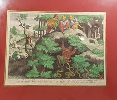
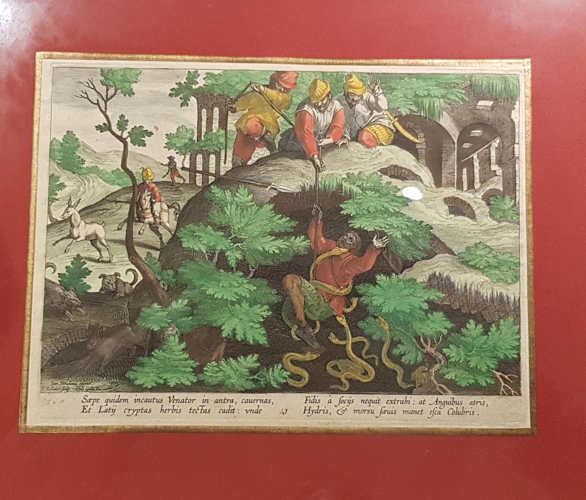
- Hunting Engraving: Hunting Ibex With SnakesLocated in Paris, FREngraving: The Ibex hunting with snakes Historical , mythological, religious, allegorical subjects, genre scenes, landscape painter. Mannerist. He settled in Antwerp, Venice, Flore...Category
18th Century Renaissance More Art
MaterialsEngraving