Items Similar to West Africa: 18th Century Hand-colored Homann Map Entitled "Guinea Propria"

Want more images or videos?
Request additional images or videos from the seller
1 of 11
Johann Baptist HomannWest Africa: 18th Century Hand-colored Homann Map Entitled "Guinea Propria"1743
1743
About the Item
This is a scarce richly hand colored copper plate engraved map of Africa entitled "Guinea Propria, nec non Nigritiae vel Terrae Nigrorum Maxima Pars" by Johann Baptist Homann (1664-1724), published in Nuremberg, Germany by Homann's heirs in 1743. It depicts what at the time was called Guinea and portions of a very large Ethiopia, and now multiple countries, including Benin, Burkina Faso, Cape Verde, The Gambia, Ghana, Guinea, Guinea-Bissau, Gabon, Congo, Ivory Coast, Liberia, Mali, Mauritania, Niger, Nigeria, Senegal, Sierra Leone Togo and portions of Algeria, Morocco, Chad, The Democratic Republic of Congo, The Central African Republic and Angola. West Africa's extensive Atlantic coastline made it a popular location for trade between Africa, Europe and the Americas in the 18th century.
The very elaborate and decorative cartouche features a group of Africans in a village by a body of water. Children play around inscribed ivory tusks. One of the children holds a compass tool.
This striking map of West Africa has a central vertical fold, as issued, with minimal discoloration along the fold and a small defect along the edge of the sheet in the lower right. The map is otherwise in very good condition.
Johann Baptist Homann (1663-1724) was a mapmaker who founded a respected and prolific publishing company, which continued long after his death as Homann Heirs. Homann lived his entire life in Bavaria, particularly in Nuremberg. Initially, Johann trained to become a priest before converting to Protestantism and working as a notary. In 1702, Johann founded a publishing house that specialized in engravings. The firm flourished, becoming the leading map publisher in Germany and an important entity in the European map market. In 1715, Johann was named Imperial Geographer to the Holy Roman Empire by Charles VI and made a member of the Prussian Academy of Sciences. Most importantly for his business, his reputation and contacts gained him imperial printing privileges which protected his publications and recommended him to customers.
- Creator:Johann Baptist Homann (1664 - 1724, German)
- Creation Year:1743
- Dimensions:Height: 20.5 in (52.07 cm)Width: 23.5 in (59.69 cm)Depth: 1 in (2.54 cm)
- Medium:
- Period:1740-1749
- Framing:Framing Options Available
- Condition:
- Gallery Location:Alamo, CA
- Reference Number:

Johann Baptist Homann
Johann Baptist Homann (1663-1724) was a mapmaker who founded a respected and prolific publishing company, which continued long after his death as Homann Heirs. Homann lived his entire life in Bavaria, particularly in Nuremberg. Initially, Johann trained to become a priest before converting to Protestantism and working as a notary. In 1702, Johann founded a publishing house that specialized in engravings. The firm flourished, becoming the leading map publisher in Germany and an important entity in the European map market. In 1715, Johann was named Imperial Geographer to the Holy Roman Empire by Charles VI and made a member of the Prussian Academy of Sciences. Most importantly for his business, his reputation and contacts gained him imperial printing privileges which protected his publications and recommended him to customers.
About the Seller
5.0
Gold Seller
These expertly vetted sellers are highly rated and consistently exceed customer expectations.
Established in 2011
1stDibs seller since 2019
242 sales on 1stDibs
Typical response time: 1 hour
- ShippingRetrieving quote...Ships From: Alamo, CA
- Return PolicyA return for this item may be initiated within 7 days of delivery.
More From This SellerView All
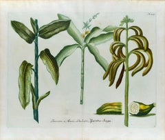
- Banana Plants: An 18th Century Hand-colored Botanical Engraving by J. WeinmannBy Johann Wilhelm WeinmannLocated in Alamo, CAThis is a striking original antique colored botanical mezzotint and line double page engraving of banana plants, which is finished with hand-coloring. It is entitled "Banana 1. Musa,...Category
Mid-18th Century Naturalistic Still-life Prints
MaterialsEngraving, Mezzotint
- Persia & Afghanistan: A Framed Hand-colored 17th Century Map by John CaryBy John CaryLocated in Alamo, CAThis colorful and detailed early 18th century copperplate map by John Cary entitled "A New Map of Persia from the Latest Authorities" was published in London in 1801. It depicts Persia, the region of modern day Afghanistan, the Caspian Sea, the Sea of Aral, the Persian Gulf...Category
Early 19th Century Old Masters More Prints
MaterialsEngraving
- View of Pisaro, Italy: A 16th Century Hand-colored Map by Braun & HogenbergBy Franz HogenbergLocated in Alamo, CAThis is a 16th century original hand-colored copperplate engraved map of View of Pezaro (Pisaro), Italy entitled "Pisaurum vulgo Pezaro" by Georg Braun & Franz Hogenberg, from their famous city atlas "Civitates Orbis Terrarum", published in Augsberg, Germany in 1575. The map depicts a view of Pesaro, Italy from the west looking over the town to the Adriatic Sea. The River Foglia flows into the Adriatic in the foreground. The only identifiable building is the cathedral of San Domenico, which rises above the other roofs with its tall spire. Two women, dressed in styles of the 16th century are in conversation on a hill in the foreground on the left. Pesaro is in the province of Pesaro and Urbino and lies on the Adriatic and east of Florence. The city, which was founded by the Etruscans and named Pisaurum by the Romans, belonged from AD 754 onwards to the Papal States, and after 1285 was controlled by the princely families of Malatesta, Sforza and della Rovere. Today it is the capital of the province of Pesaro and Urbino and has a population of about 92,000. Pesaro's most famous resident, composer Gioacchino Rossini, was born here in 1792. The following is an English translation of an excerpt from Braun's description of the city: "We believe that the astonishingly short life of the inhabitants of Pesaro comes not only from the insalubrious air, but also from the great quantity of delectable and delicious fruits which they consume to excess. For this causes the production in their bodies of evil humours, which then lead to incurably fatal diseases. The area around the city is most charming and well planted with vineyards, fig trees, olive trees and other fruit-bearing trees." References: Van der Krogt 4, 3369, state 1; Taschen, Braun and Hogenberg...Category
16th Century Old Masters Landscape Prints
MaterialsEngraving
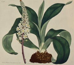
- Flowering Sea Onion: A 19th Century Hand-colored Engraving by William CurtisBy William CurtisLocated in Alamo, CAThis early 19th century hand-colored double fold-out botanical engraving is entitled "Ornithogalum Squilla" (Common Red-rooted Sea-Onion or Officinal Squill), plate 918, published in...Category
Early 1800s Naturalistic Still-life Prints
MaterialsEngraving
- Southern Holland: An Original 17th C. Hand-colored Visscher Map "Hollandiae"By Nicolaus VisscherLocated in Alamo, CAThis a beautiful framed hand colored 17th century map of the southern portions of Holland by Nicolaus (Nicolas) Visscher II entitled "Hollandiae pars Meridionalis, vulgo Zuyd-Holland", published in Amsterdam in 1678. The map shows the region between Breda, Heusden, Gornichem, Gouda, Dordrecht, and Willemstad. It includes a decorative cartouche in the lower left corner. The map is presented in an attractive maple colored wood frame with gold trim and a fabric mat. The map is in very good condition. The Visscher family were one of the great cartographic families of the 17th century. Begun by Claes Jansz Visscher...Category
Late 17th Century Other Art Style Landscape Prints
MaterialsEngraving
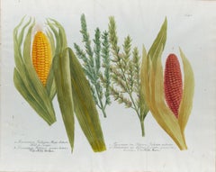
- Corn, Maize: An 18th Century Hand-colored Botanical Engraving by J. WeinmannBy Johann Wilhelm WeinmannLocated in Alamo, CAThis is a striking original antique colored botanical mezzotint and line engraving of two varieties of corn or maize, which is finished with hand-coloring. It is entitled "Frumentum ...Category
Mid-18th Century Naturalistic Still-life Prints
MaterialsEngraving, Mezzotint


You May Also Like
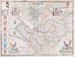
- John Speede Map The Countye Palatine of Chester with that most ancient citieBy John SpeedLocated in London, GBTo see our other views and maps of England - including London, Oxford and Cambridge, scroll down to "More from this Seller" and below it click on "See all from this Seller" - or send...Category
17th Century Realist Landscape Prints
MaterialsEngraving
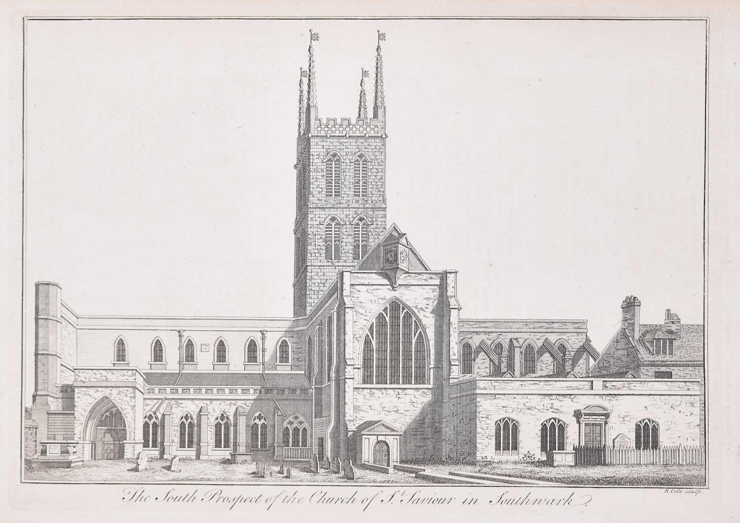
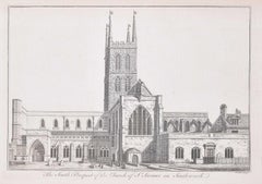
- Southwark Cathedral engraving c. 1753 for Stow's Survey of LondonLocated in London, GBTo see our other views and maps of England - including London, Oxford and Cambridge, scroll down to "More from this Seller" and below it click on "See all from this Seller" - or send...Category
1750s Realist Landscape Prints
MaterialsEngraving
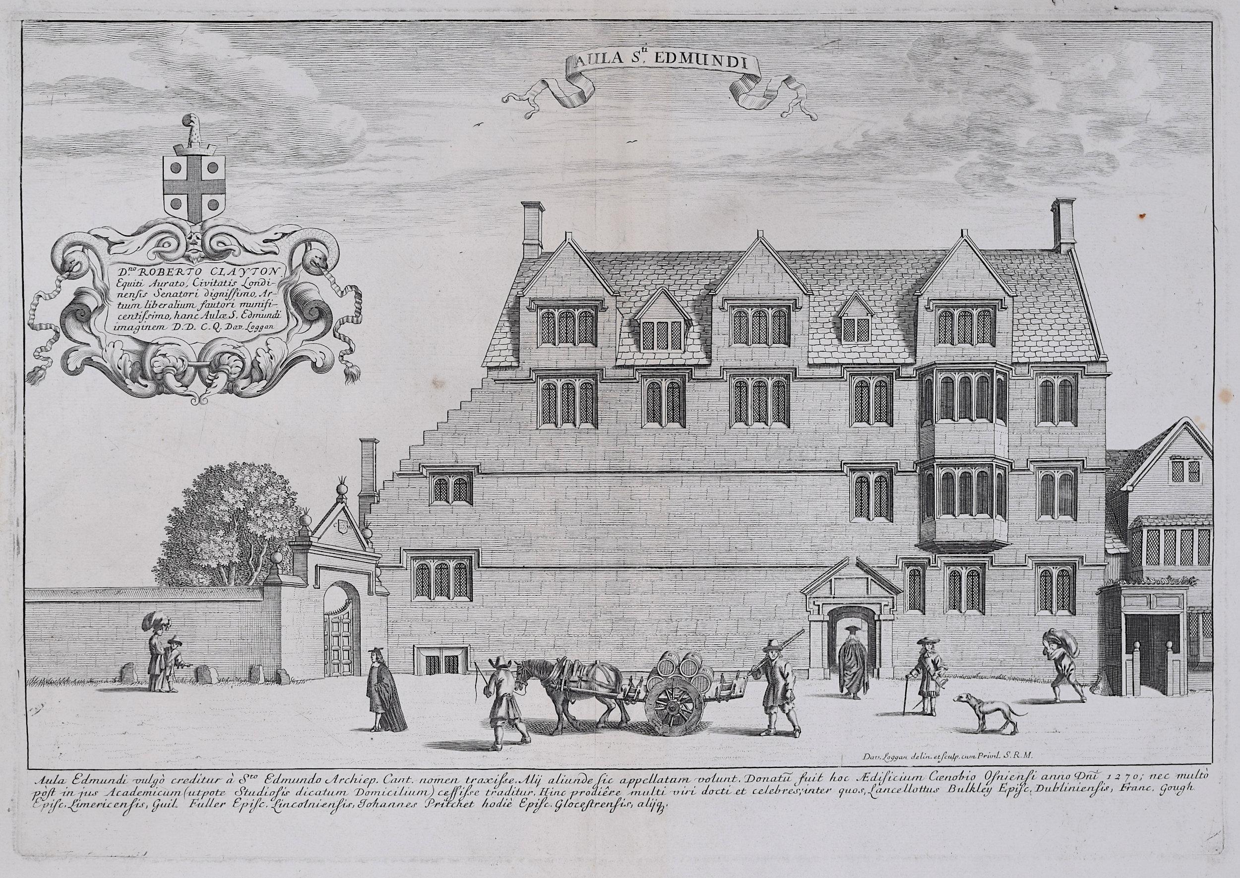
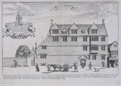
- David Loggan St Edmund Hall Oxford - Aula St Edmundi - 1675 engravingBy David LogganLocated in London, GBTo see our other views of Oxford and Cambridge, scroll down to "More from this Seller" and below it click on "See all from this Seller" - or send us a message if you cannot find the view you want. David Loggan (1634-1692) St Edmund Hall...Category
1670s Realist Prints and Multiples
MaterialsEngraving
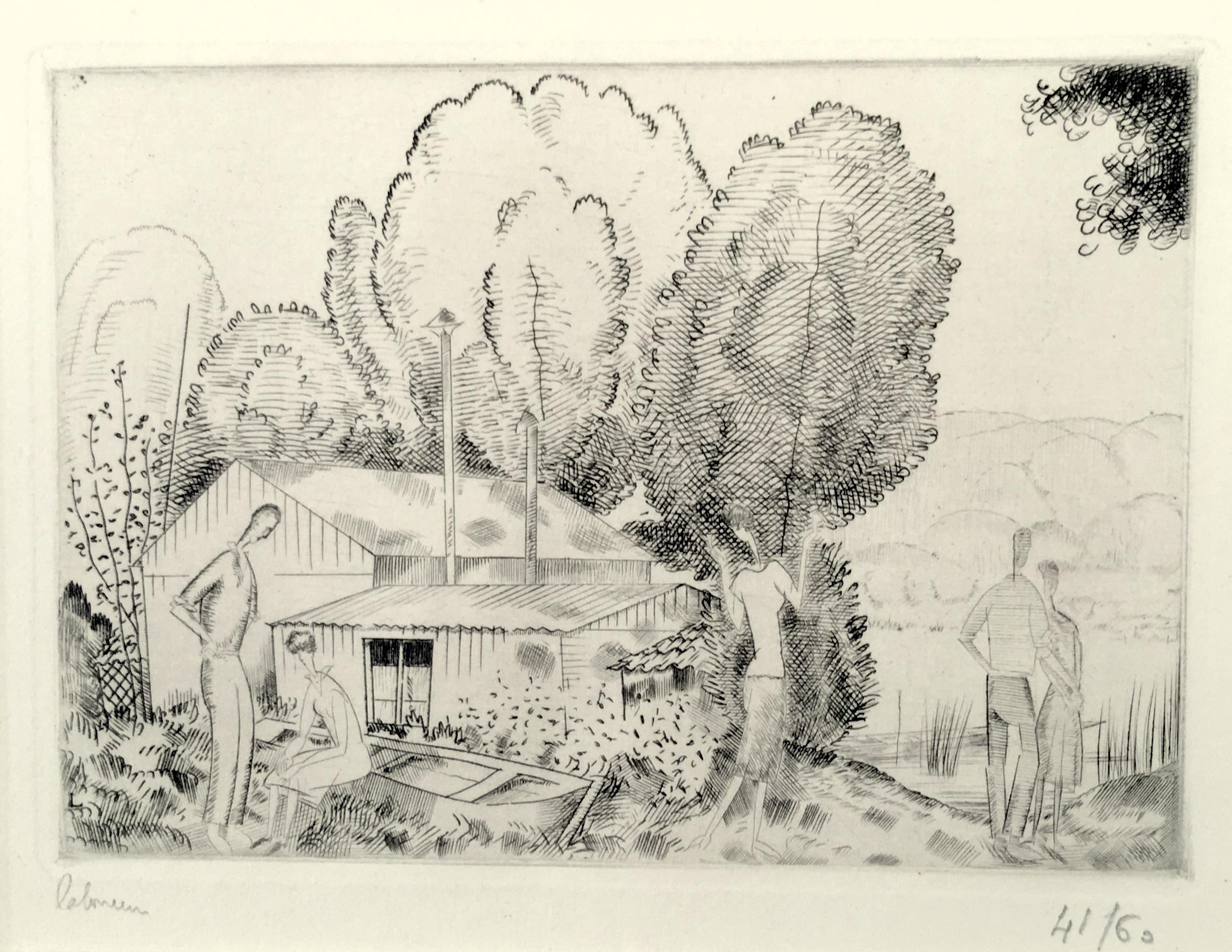
- L’Auberge du Bord de L’Eau (Petite Planche)By Jean-Emile LaboureurLocated in New York, NYJean-Emile Laboureur (1877-1943), L’Auberge du Bord de L’Eau (Petite Planche), engraving, 1924, signed in pencil lower left, numbered lower right ((41/60), and titled in pencil by th...Category
1920s Modern Landscape Prints
MaterialsEngraving
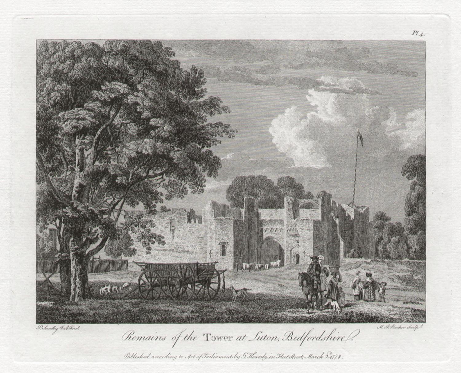
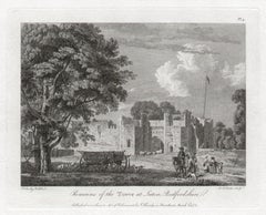
- Tower at Luton, Bedfordshire. Paul Sandby C18th English landscape engravingBy Paul SandbyLocated in Melbourne, Victoria'Remains of the Tower at Luton, Bedfordshire' Engraving by MA Rooker after Paul Sandby (1731-1809). From Paul Sandby's 'The Virtuosi's Museum, Containing Select Views in England, S...Category
18th Century Naturalistic Landscape Prints
MaterialsEngraving
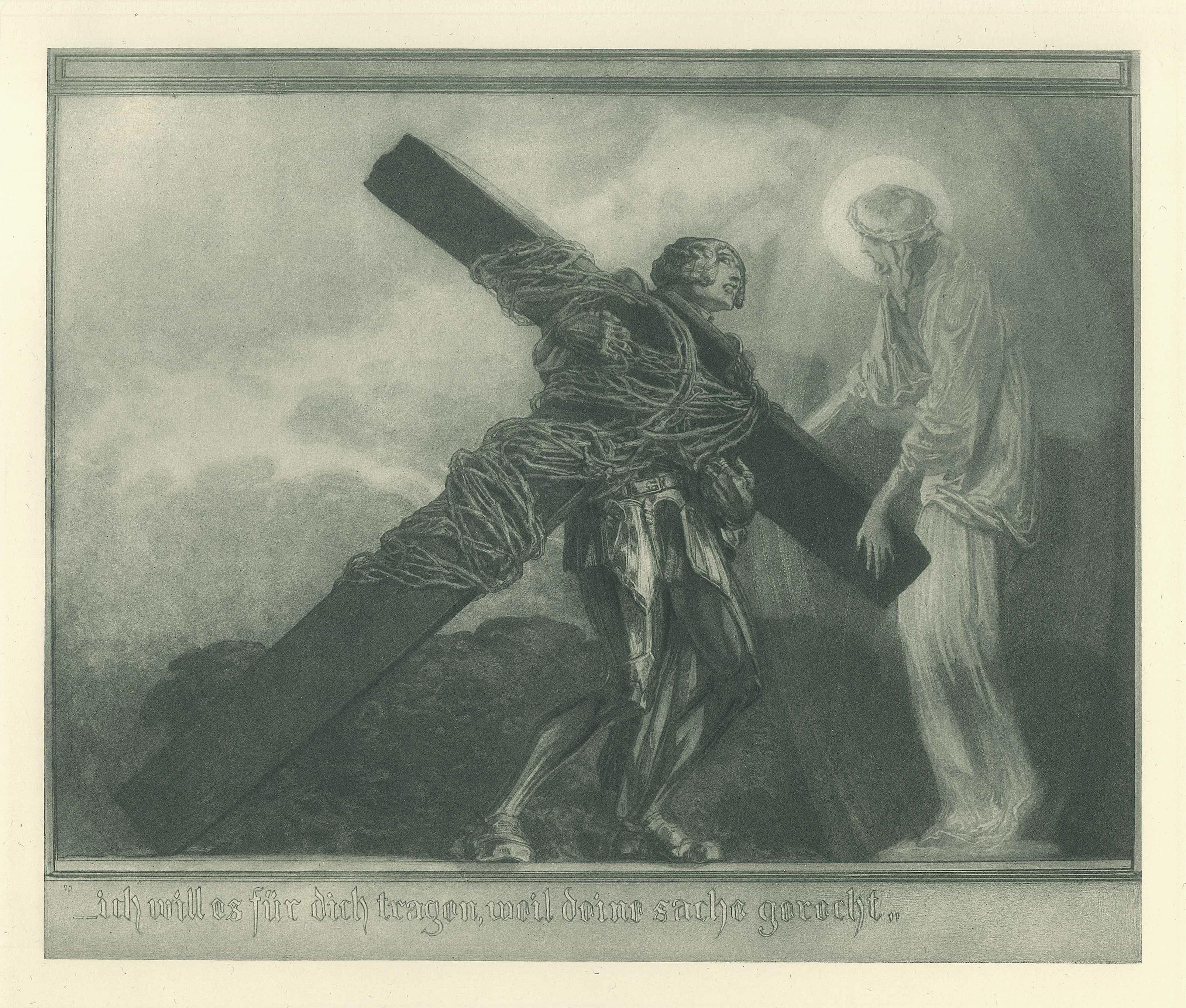
- Ich will es für dich trage - Vintage Héliogravure by Franz von Bayros - 1921 ca.By Franz von Bayros (Choisi Le Conin)Located in Roma, ITIch will es für dich tragen is a black and white héliogravure on cream-colored cardboard realized by Choisy Le Conin, pseudonym of Franz Von Bayros (Agram, 1866 – Vienna, 1924). Fro...Category
1920s Symbolist Figurative Prints
MaterialsEngraving


Recently Viewed
View AllMore Ways To Browse
Antique African Prints
Engraving Tool
18th Century American Prints
African American Antique
18th Century African
Ghana Art
Roman Empire Art
Hand Compass
Nuremberg Print
Congo African Art
Prussian Prints
African American Plates
West German Plates
West Germany Plate
Copper Engraving Germany
African Art Ghana
Hand Colored Copper Engraving
Antique Roman Map