Items Similar to Australia Original Vintage Propaganda Poster post WW2 MacDonald Max Gill
Want more images or videos?
Request additional images or videos from the seller
1 of 5
"Leslie MacDonald ""Max"" Gill"Australia Original Vintage Propaganda Poster post WW2 MacDonald Max Gill c.1950
c.1950
About the Item
To see our other original vintage travel and propaganda posters, scroll down to "More from this Seller" and below it click on "See all from this Seller" - or send us a message if you cannot find the poster you want.
Macdonald (Max) Gill (1884-1947)
Australia: Her Natural and Industrial Resources (1950)
His Majesty’s Stationary Office, SO Code NO. 70-538-5-2
Lithographic poster
51 x 76cm (20 x 30 inches)
Born in Brighton, Max Gill was the second son in a family of thirteen children; his elder brother was Eric Gill, the typographer and sculptor. Both Gills exhibited significant talent at a young age. Max Gill’s first map was made for a school map-drawing project following which he entered maps into competitions in boys’ magazines.
In 1903 he moved to London as assistant to the ecclesiastical architects Sir Charles Nicholson and Hubert Corlette. By 1908 he had started his own architectural practice, but in 1909 Sir Edwin Lutyens commissioned Gill to paint a “wind dial” map for Nashdom, a large house in Buckinghamshire. The wind dial was set over the fireplace and attached to a weather vane on the roof, allowing the occupant to know the direction of the wind from the comfort of the house. He produced seven further wind dials including for Lutyens’s Lindisfarne Castle and for the Allhusen Room at Trinity College, Cambridge.
Although he continued to practice as an architect, Frank Pick commissioned him to create seven pictorial maps for the Underground, the first being the famous 1913 ‘Wonderground Map of London Town.’
In 1917 he joined the Imperial War Graves Commission’s headstone design committee, designing the typeface and regimental badges. Gill’s memorials for the fallen in the First World War include for Balliol and Worcester Colleges and Christ Church in Oxford.
During the 1920s and 30s Gill undertook many commercial commissions for advertising materials. The Empire Marketing Board and Shell-Mex as well as further maps for the Underground. He designed in 1922 the first diagrammatic map of the Underground which provided the foundation for Beck’s more famous map.
By the 1930s his major works were murals. Those of the Arctic and Antarctic on the ceilings of the Scott Polar Research Institute in Cambridge are beautiful, but the most impressive is the map of the North Atlantic in the first-class dining room of the Queen Mary (maiden voyage: 1936, now moored at Long Beach, California).
During the Second World War he created a series of propaganda posters for the Ministry of Information; this map is from that series.
- Creator:
- Creation Year:c.1950
- Dimensions:Height: 20.08 in (51 cm)Width: 29.93 in (76 cm)
- Medium:
- Movement & Style:
- Period:
- Condition:Generally very good, the odd spot to margins.
- Gallery Location:London, GB
- Reference Number:1stDibs: LU79537379562
About the Seller
4.8
Platinum Seller
These expertly vetted sellers are 1stDibs' most experienced sellers and are rated highest by our customers.
Established in 2014
1stDibs seller since 2017
286 sales on 1stDibs
Typical response time: <1 hour
- ShippingRetrieving quote...Ships From: London, United Kingdom
- Return PolicyA return for this item may be initiated within 14 days of delivery.
More From This SellerView All
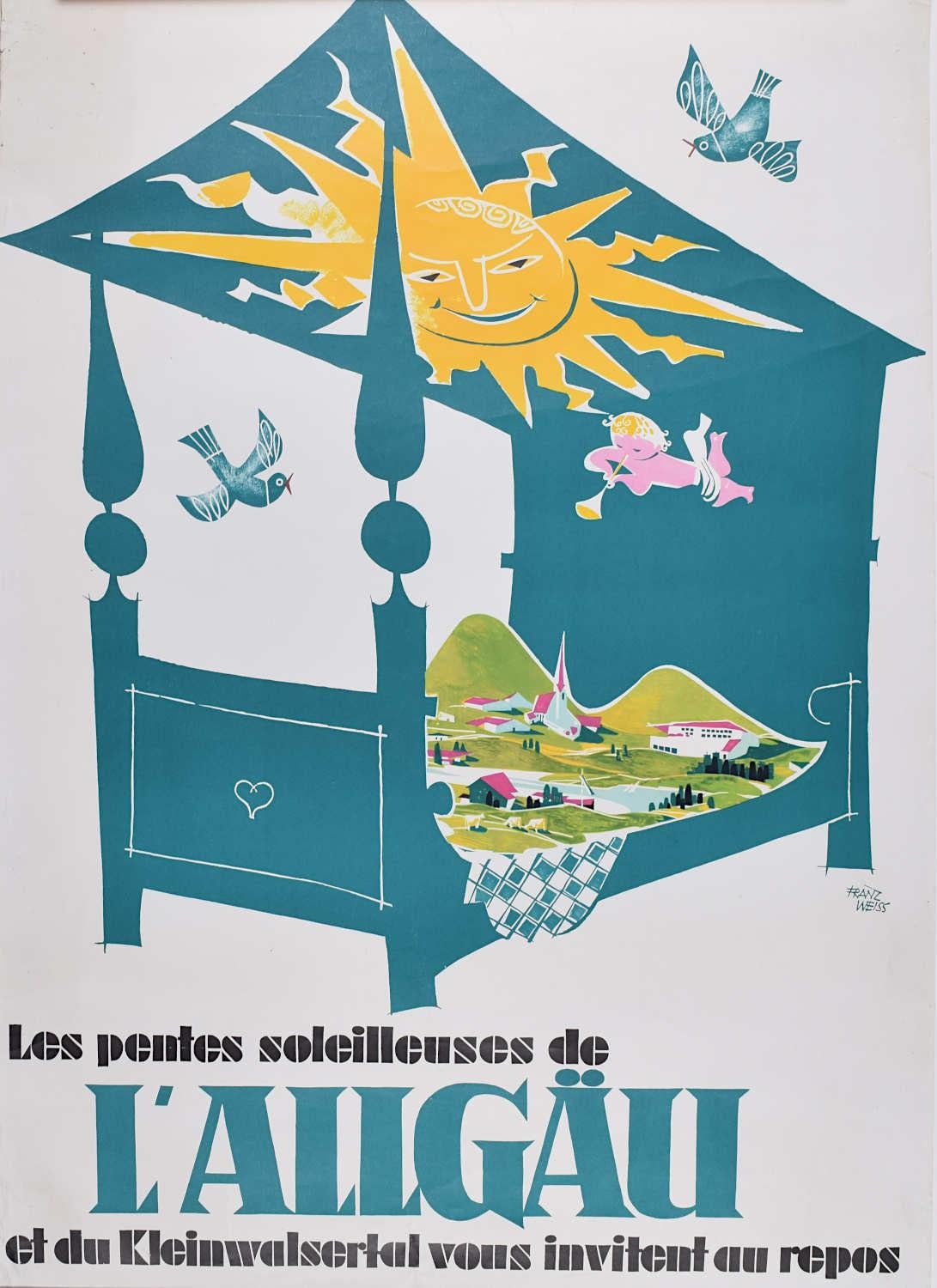
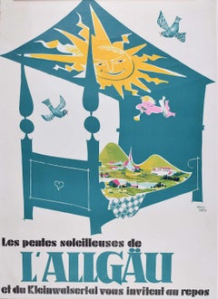
- L'Allgäu Schwabia, Germany, Original Vintage Poster Franz Weiss c.1955Located in London, GBTo see our other original vintage travel posters, scroll down to "More from this Seller" and below it click on "See all from this Seller" - or send us a message if you cannot find the poster you want. Franz Weiss...Category
1950s Modern Landscape Prints
MaterialsLithograph
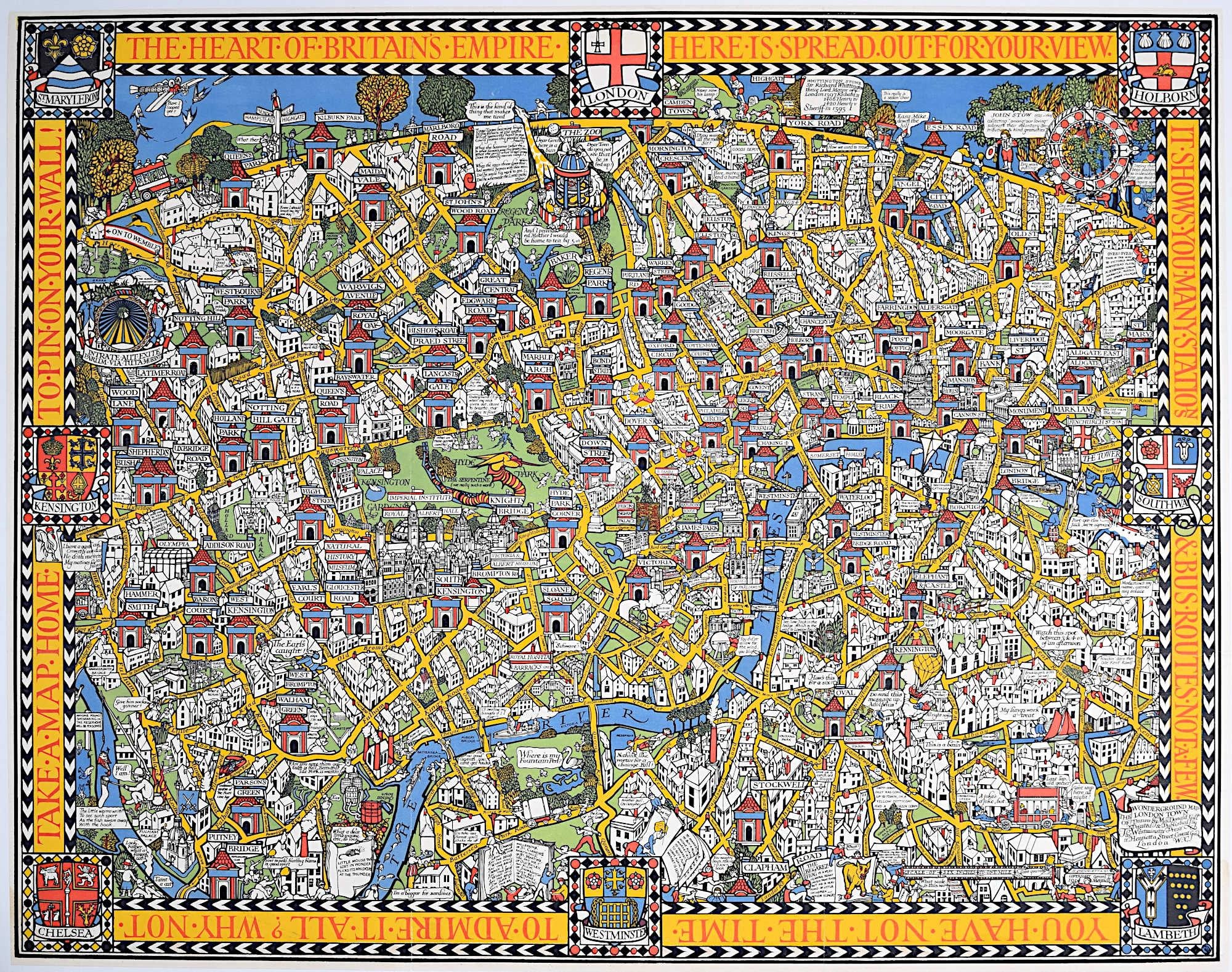
- Wonderground Map of London by MacDonald 'Max' Gill c. 1924 original posterBy "Leslie MacDonald ""Max"" Gill"Located in London, GBTo see our other original vintage posters and views of London (including original paintings), scroll down to "More from this Seller" and below it click on "See all from this Seller" ...Category
1920s Modern Landscape Prints
MaterialsLithograph
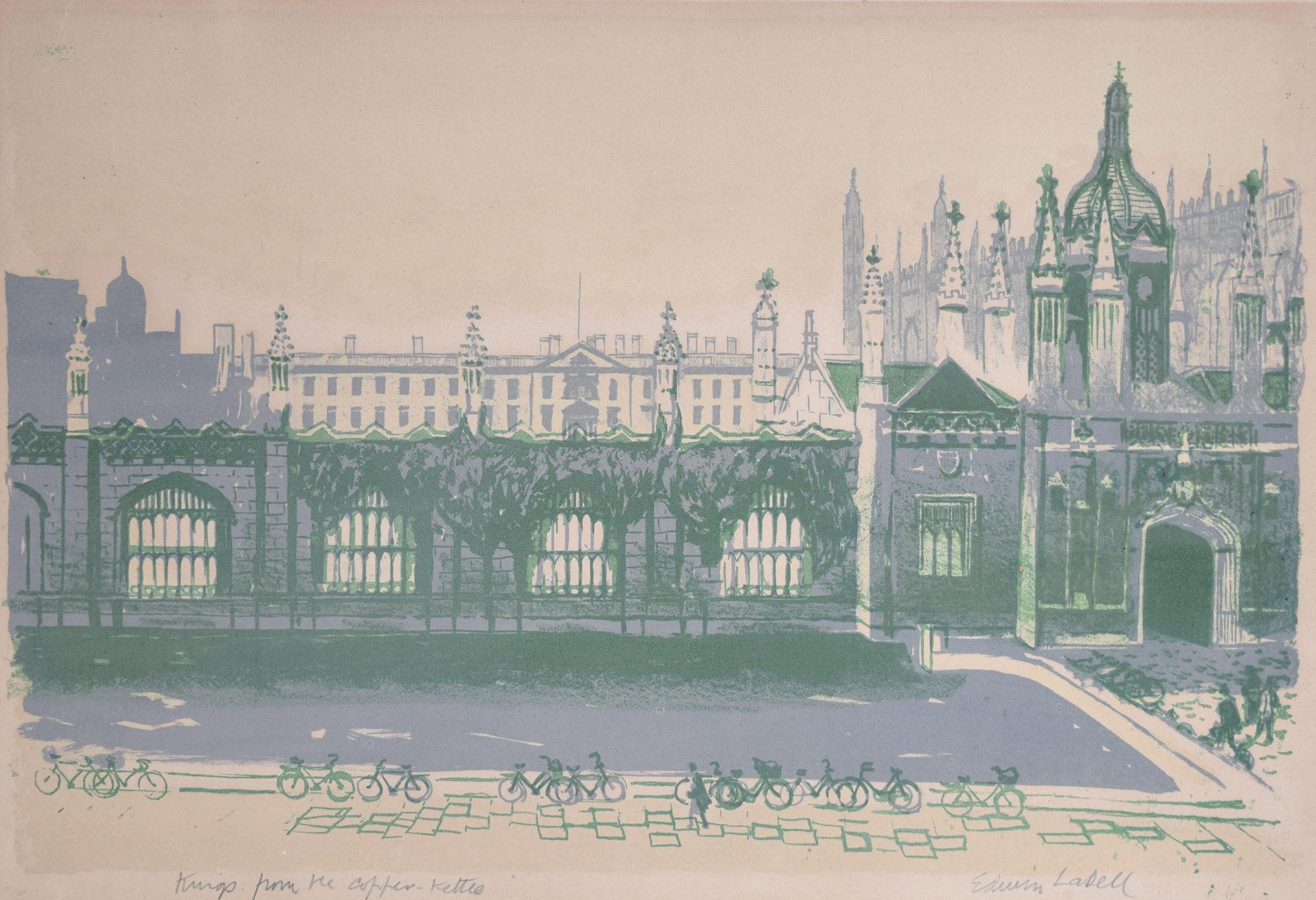
- Edwin La Dell Cambridge King's College from Copper Kettle Signed LithographBy Edwin La DellLocated in London, GBTo see our other views of Oxford and Cambridge, scroll down to "More from this Seller" and below it click on "See all from this Seller" - or send us a message if you cannot find the ...Category
1950s Modern Landscape Prints
MaterialsLithograph
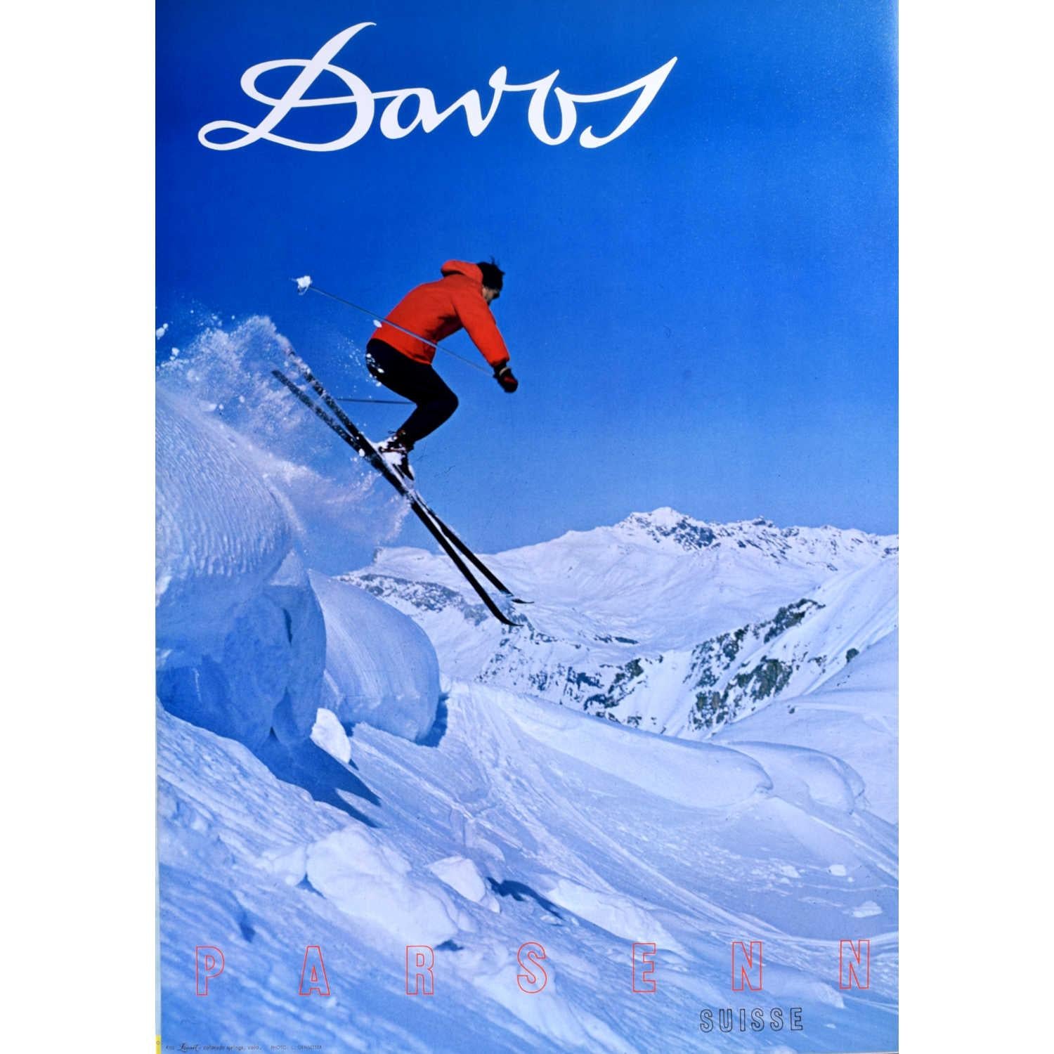
- Davos, Parsenn Region, Switzerland Vintage Ski Poster (1968)Located in London, GBTo see our other original vintage posters, scroll down to "More from this Seller" and below click on "See all from this Seller." Davos, Parsenne, Switzerland Vintage Ski Poster 1968 67 x 53 cm Printed by LooArt Press, Colorado Springs, Colorado 1960s poster for Davos ski resort in Parsenn, Switzerland, featuring a photograph of a skiier jumping off the slope into powder snow...Category
1960s Modern Landscape Prints
MaterialsLithograph
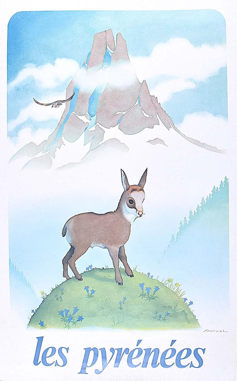
- Samivel - Original Ski Poster: Les Pyrénées France French Mountains Goat EagleBy Samivel Paul Gayet-TancrèdeLocated in London, GBTo see our other original vintage travel posters, many of which have skiing subjects, scroll down to "More from this Seller" and below it click on "See all from this seller" - or sen...Category
1980s Modern Landscape Prints
MaterialsLithograph
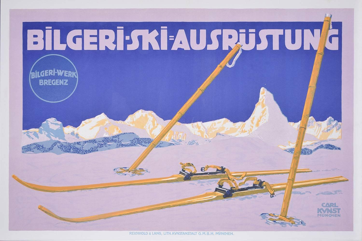
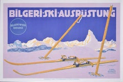
- Matterhorn c. 1910 Skiing Original Vintage Poster Bilgeri Ski Carl Kunst BregenzBy Carl KunstLocated in London, GBTo see our other original vintage travel posters, many of which have skiing subjects, scroll down to "More from this Seller" and below it click on "See a...Category
1910s Modern Landscape Prints
MaterialsLithograph


You May Also Like
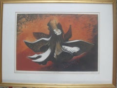
- 'Tree Root' . Hand colored lithogarph circa 1959.By Jack CoutuLocated in Frome, SomersetA fine Raymond John 'Jack' Coutu (1924-2017) ARE, ARCA. color lithograph/ engraving. 'Tree Root'. 6th of a 50 handmade edition by the artist.. circa 1959. Well listed Modern Artist. Signed and presented in the original framing. Raymond John "Jack" Coutu ARE ARCA (13 September 1924 – 17 May 2017) was an English printmaker, sculptor, etcher, engraver, carver, watercolourist and teacher. He was influenced by Oriental art.Jack Coutu was born Raymond John Coutu at Farnham, Surrey, England, and was educated at Farnham Grammar School.[ On leaving school in 1940, he worked at Abbott of Farnham, a coachbuilding company in Farnham, where his father Bert Coutu was also employed painting coats of arms and heraldic shields. In 1942, at the age of 18 during World War II, he joined the Royal Corps of Signals, where after training he served in Ceylon (now Sri Lanka), India, and Singapore. At the end of WWII, he was in Kure, Japan, in the Hiroshima Prefecture. From 1947 to 1951, Coutu studied at the Farnham School of Art, followed by the Royal College of Art in London from 1951 to 1954 and the Central School of Art from 1951 to 1955. At the Central School of Art, Merlin Evans was an influence on Coutu's printmaking. Coutu taught printmaking at the Central School of Art from 1957 to 1965 and then at the West Surrey College of Art and Design in Farnham from 1965 to 1985. In 1968, he started to carve netsuke (as practised in Japan) and he joined the Netsuke Kenkyukai Society, based in the United StatesHe is also a member of the Royal Society of Painter-Etchers and Engravers and the Printmakers Council. Jack Coutu has exhibited at the Royal Academy in London, netsuke conventions, jointly with Michael Rothenstein...Category
1950s Modern Landscape Prints
MaterialsLithograph
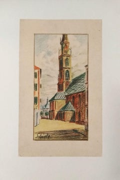
- Kirche von BozenBy (after) Egon SchieleLocated in Roma, ITThis lithograph from the portfolio "Egon Schiele" is a reproduction of "Kirche von Bozen", an original artwork realized by Egon Schiele in 1907. The portfolio, that includes 10 litho...Category
Early 1900s Modern Landscape Prints
MaterialsLithograph
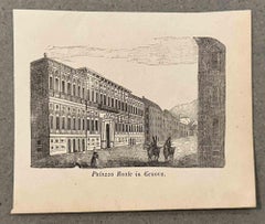
- Royal Palace in Genoa - Lithograph - 19th CenturyLocated in Roma, ITRoyal Palace in Genoa is a lithograph on paper realized in the 19th Century. The artwork is represented in a well-balanced composition with strong strokes. Very good condition.Category
19th Century Modern Figurative Prints
MaterialsLithograph
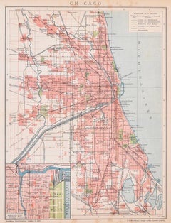
- Chicago - Lithograph on Paper from "Brockhaus Encyclopedia - 1905Located in Roma, ITChicago is an interesting black and white lithograph on paper, realized in 1905 by an anonymous artist, and published by Brockhaus Encyclopedia (Brockhaus Enzyklopädie), an encyclopedia in German among the most renowned in the world. Published in Mannheim by the publisher Bibliographisches Institut & F. A. Brockhaus AG, this encyclopedia appeared in an embryonic form in the 18th century. At the time it was a matter of offering a modern instrument of culture and conversation (Conversations-Lexikon mit vorzüglicher Rücksicht auf die gegenwärtigen Zeiten) to the educated classes. The real encyclopedia would soon be born from the project at the beginning of the 19th century. This original print is a toponomastic map of the Chicago city...Category
Early 1900s Modern Figurative Prints
MaterialsLithograph
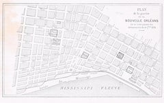
- Plan de la Nouvelle Orléans - Original Lithograph - 1880Located in Roma, ITImage dimensions: 9.3 x 16 cm. Plan de la Nouvelle Orléans is an interesting black and white lithograph on paper, realized in 1880 by an anonymous artist. Original Title: Plan de l...Category
1880s Modern Figurative Prints
MaterialsLithograph
- The Queen's Staircase - Original Lithograph by F.A. Pernot - 1836Located in Roma, ITThe Queen's Staircase is an original modern artwork realized in 1836 by the French artist François Alexandre Pernot (1793-1865). Original Lithograph on paper. The sheet is glued on ...Category
1830s Modern Figurative Prints
MaterialsLithograph
Recently Viewed
View AllMore Ways To Browse
Travel Poster 1920s
Vintage 1920S Posters
Vintage Travel Poster 1920s
Australian 1950
Australia Posters
Mary And Christ
Pictorial Map
Australian Sellers
Shell Posters Vintage
Vintage Gill
California Original Posters
The Queen Poster
California Map
Australian Vintage Posters
Shell Lithograph
Vintage Poster Australia
Original Vintage London Underground
London Underground Original Vintage Posters