Items Similar to John Paul Jones Commander of a Squadron - 13 Colonies United States...


Want more images or videos?
Request additional images or videos from the seller
1 of 10
UnknownJohn Paul Jones Commander of a Squadron - 13 Colonies United States... 1779
1779
About the Item
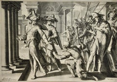
AMERICAN REVOLUTION - (Attributed to Richard Brookshaw)
JOHN PAUL JONES Commander of a Squadron in the Service of THE THIRTEEN UNITED STATES OF NORTH AMERICA, 1779 (Creswell LC132: Chaloner Smith, Page 1735, no 97) Mezzotint, plate 14 x 10”, sheet 18 x 13 1/8”. Wide margins in very good condition save for some scattered soiling. Important period portrait of John Paul Jones (1747-1792). Jones is a celebrated hero of the American Revolution and considered to be the father of the American Navy, His declaration “I have not yet begun to fight” is one of the most important quotes in American history. The battle and victory over Captain Pearson of the Serapis in background.
Provenance: The Old Print Gallery, Washington DC: and the late William Burger, iconic California purveyor of Great History.
$6,250
American Historical Print, Naval, Ships, Revolutionary War
- Creation Year:1779
- Dimensions:Height: 14 in (35.56 cm)Width: 10 in (25.4 cm)
- Medium:
- Movement & Style:
- Period:1770-1779
- Condition:Wide margins in generally good condition light tone to untouched sheet. A nice example of this important Revolutionary War portrait.
- Gallery Location:Santa Monica, CA
- Reference Number:1stDibs: LU41131479913
About the Seller
5.0
Recognized Seller
These prestigious sellers are industry leaders and represent the highest echelon for item quality and design.
Platinum Seller
These expertly vetted sellers are 1stDibs' most experienced sellers and are rated highest by our customers.
Established in 1977
1stDibs seller since 2016
264 sales on 1stDibs
Typical response time: 1 hour
Associations
International Fine Print Dealers Association
- ShippingRetrieving quote...Ships From: Santa Monica, CA
- Return PolicyA return for this item may be initiated within 7 days of delivery.
More From This SellerView All
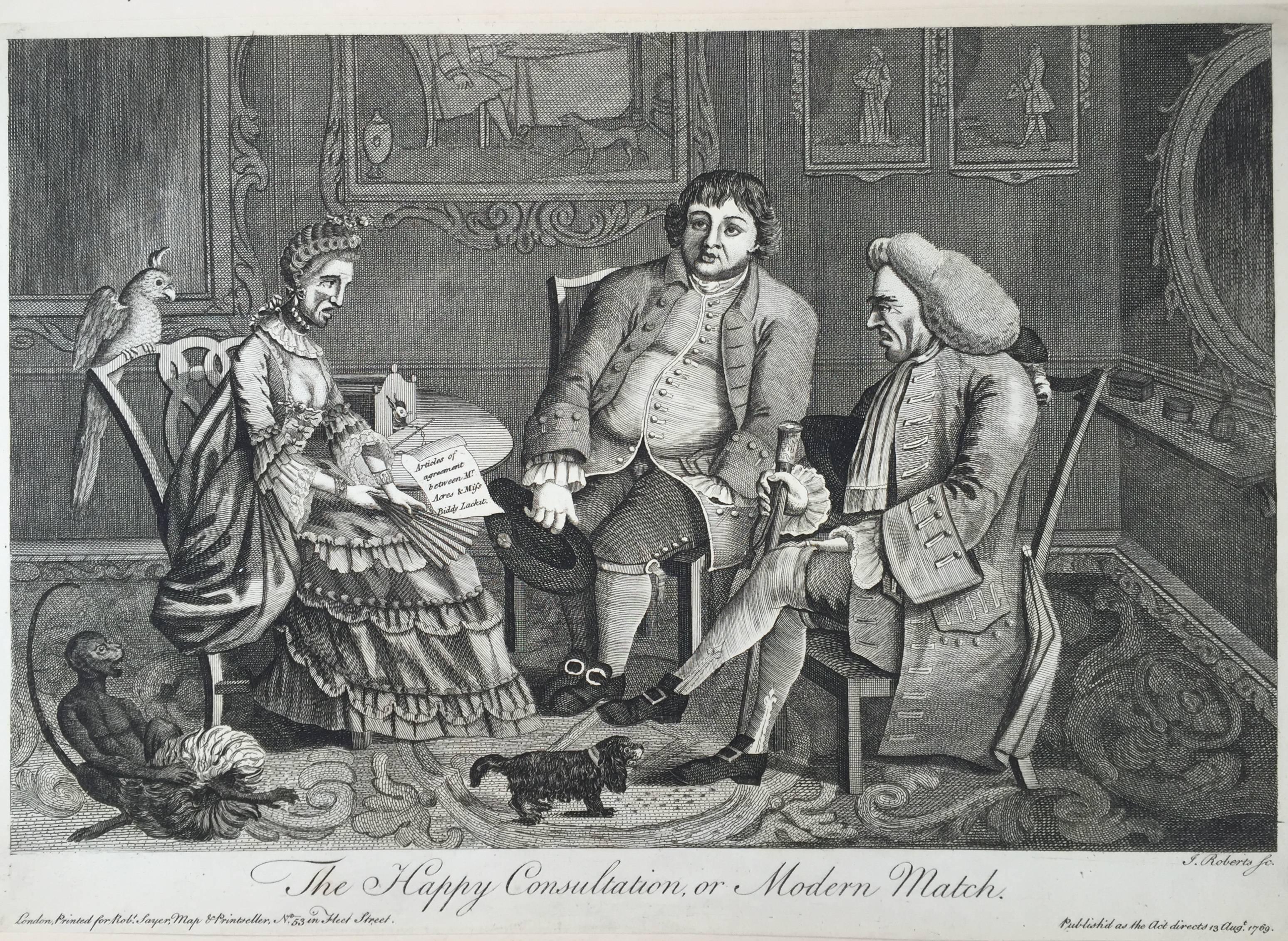
- The Happy Consultation, or Modern MatchLocated in Santa Monica, CAEIGHTEENTH CENTURY BRITISH CARICATURE THE HAPPY CONSULTATION, or MODERN MATCH, 1769 (DG 4335) ...Category
1760s Old Masters More Prints
MaterialsEngraving
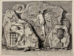
- (Large!) UNA DELLE QUATTRO FIGURE RAPPRESENTANTI QUATTRO VITTORIEBy Giovanni Battista PiranesiLocated in Santa Monica, CAGIOVANNI BATTISTA PIRANESI (1710-1778) UNA DELLE QUATTRO FIGURE RAPPRESENTANTI QUATTTRO VITTORIE, (Focillon 330, Wilton-Ely 463) 1750-1756 Etching, Plate 48 from “Le Antichita Romane“ vol. 3. Engraved by Jean Barbault...Category
1750s Old Masters More Prints
MaterialsEtching
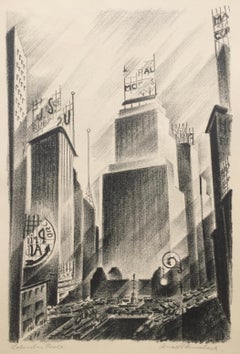
- Columbus CircleBy Arnold RönnebeckLocated in Santa Monica, CAARNOLD RONNEBECK (1885 – 1947) COLUMBUS CIRCLE ca. 1929 Lithograph, edition probably 50. Signed and titled in pencil, 12 ½” x 8 ¼” In very good condit...Category
1920s American Modern More Prints
MaterialsLithograph
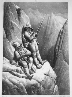
- CHASSEURS TYROLIENS A L'AFFUT DU CHEVREUILBy Gustave DoréLocated in Santa Monica, CAGUSTAVE DORE (French 1832-1883) CHASSEURS TYROLIENS A L'AFFUT DU CHEVREUIL (Tyrolian Hunters at the end of the Hunt) c. 1856-7 (B...Category
1850s Romantic More Prints
MaterialsLithograph
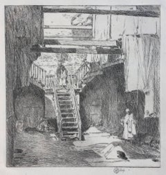
- The Whitesmiths, Impresse des CarmelitesBy James Abbott McNeill WhistlerLocated in Santa Monica, CAJAMES ABBOTT MCNEILL WHISTLER (1834 – 1903) THE WHITESMITHS, IMPRESSE DES CARMELITES 1894 (03) Way 53, LEVY 84 Transfer lithograph signed with butterfly in stone 8 ½ x 6 1//8". ...Category
1890s Impressionist More Prints
MaterialsLithograph
- OLD CHINATOWN - SAN FRANCISCOBy Childe HassamLocated in Santa Monica, CACHILDE HASSAM (1859 – 1935) OLD CHINATOWN - SAN FRANCISCO 1904 (Cortissoz 95 i/iii?) Etching, 5 ¼ “ x 5”. Signed and dated in the plate and with his cypher in pencil. An early state before additional work as in the example at Cornell University. Very Scarce print. On old ledger paper. Sheet 9 5/8” x 7”. Pre San Francisco earthquake. Based on a rare photograph by Arnold Genthe...Category
Early 1900s American Impressionist More Prints
MaterialsEtching

You May Also Like
- Danube River, Italy, Greece and Croatia: A Hand-colored 18th C. Homann MapBy Johann Baptist HomannLocated in Alamo, CA"Fluviorum in Europa principis Danubii" is a hand-colored map of the region about the Danube river created by Johann Baptist Homann (1663-1724) in his 'Atlas Novus Terrarum', publish...Category
Early 18th Century Old Masters Landscape Prints
MaterialsEngraving
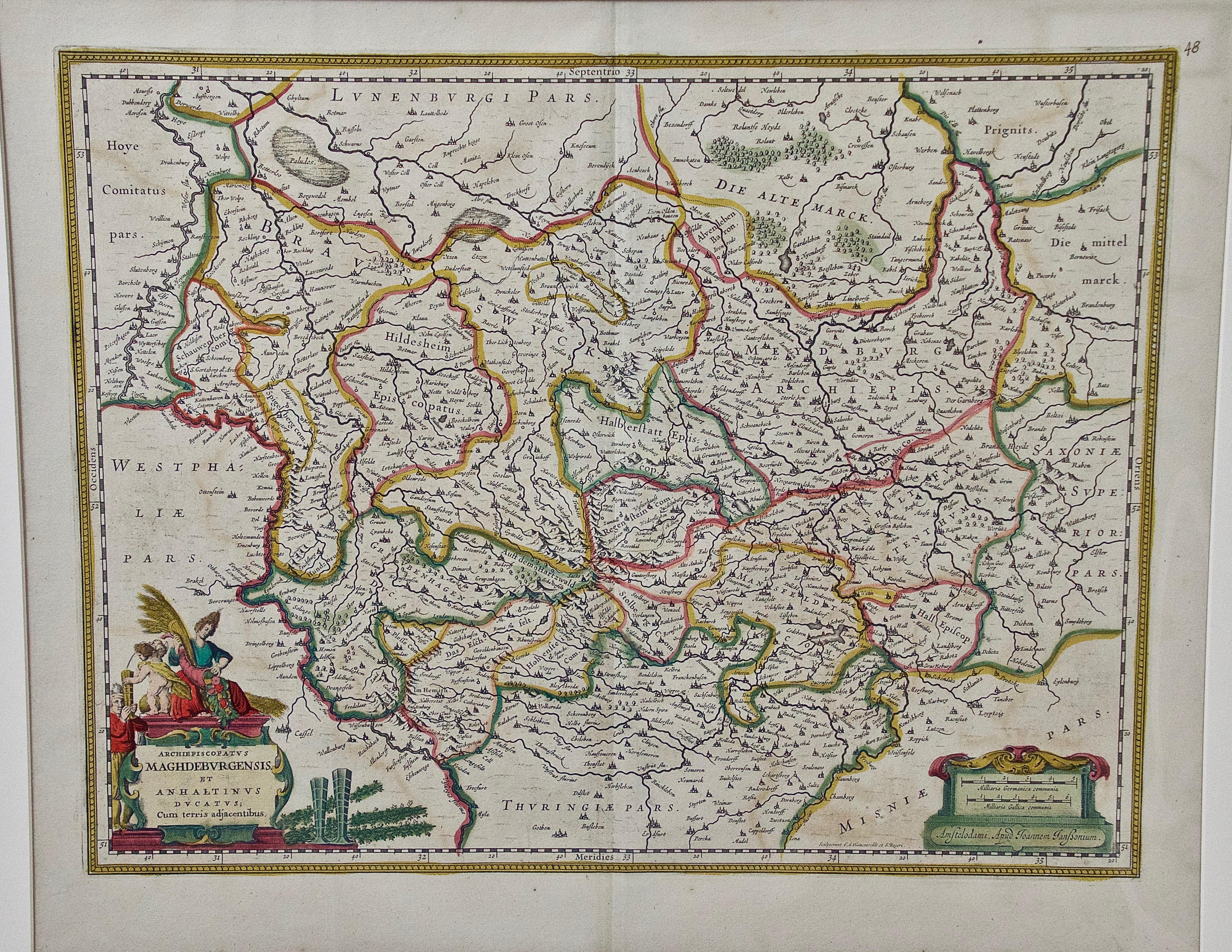
- West Germany: Original Hand Colored 17th Century Map by Johannes JanssoniusBy Johannes JanssoniusLocated in Alamo, CAAn original hand colored copperplate engraved map entitled in Latin "Archiepiscopatus Maghdeburgensis et Anhaltinus Ducatus cum terris adjacentibus", published in Amsterdam in 1640 i...Category
Mid-17th Century Old Masters More Prints
MaterialsEngraving
- Northern Italy: A 16th Century Hand-colored Map by Abraham OrteliusBy Abraham OrteliusLocated in Alamo, CAThis is a framed 16th century hand-colored copperplate map of northern Italy entitled "Veronae Urbis Territorium a Bernardo Bragnolo Descriptium" by Abraham Ortelius from his atlas "Theatrum Orbis Terrarum", which was the first modern atlas of the world, with the first volume published in 1570. This map was part of a subsequent volume, published in Antwerp in 1584. It was based on an earlier map by Bernardo Brognoli. This beautiful map of northern Italy is focussed on Verona and its environs, including Mantua. Lake Garda and the South Tyrol mountains are prominently depicted. There is a very large striking cartouche in the upper left and a decorative distance scale in the lower right. This striking hand-colored map of northern Italy is presented in a gold-colored wood frame and an olive green-colored mat. It is glazed with UV conservation glass. All mounting materials used are archival. The frame measures 21.5" high by 28" wide by 0.75" deep. There is a central vertical fold, as issued, with slight separation of the lower portion of the fold. There are faint spots in the upper and right margins, but the map is otherwise in very good condition. Abraham Ortelius (also known as Ortels, Orthellius, and Wortels) (1527-1598) was a Dutch cartographer, geographer, and cosmographer. He began his career as a map colorist. In 1547 he entered the Antwerp guild of St Luke as an "illuminator of maps". He had an affinity for business from an early age and most of his journeys before 1560, were for business. He was a dealer in antiques, coins, maps, and books. His business income allowed him to acquire an extensive collection of medals, coins, and antiques, as well as a large library of books...Category
16th Century Old Masters Landscape Prints
MaterialsEngraving
- Meissen, Germany : A Large Framed 18th Century Map by Petrus SchenkLocated in Alamo, CAThis is a hand-colored 18th century map of the Meissen region of Germany, entitled "Geographischer Entwurff Derer Aemmter Meissen als Creys-Procuratur-Schul-und Stiffts-Ammt benebst ...Category
Mid-18th Century Old Masters Landscape Prints
MaterialsEngraving
- "Allegory of Justice": A 17th Century Old Master Engraving by van SwanenburgBy Willem van SwanenburgLocated in Alamo, CAThis old master engraving entitled "Allegorie op de Rechtspraak" is by Willem van Swaanenburg after a painting by Joachim Wtewael, published by Ch...Category
Early 1600s Old Masters Interior Prints
MaterialsEngraving
- Persia & Afghanistan: A Framed Hand-colored 17th Century Map by John CaryBy John CaryLocated in Alamo, CAThis colorful and detailed early 18th century copperplate map by John Cary entitled "A New Map of Persia from the Latest Authorities" was published in London in 1801. It depicts Persia, the region of modern day Afghanistan, the Caspian Sea, the Sea of Aral, the Persian Gulf...Category
Early 19th Century Old Masters More Prints
MaterialsEngraving


Recently Viewed
View AllMore Ways To Browse
Antique United States
United States History
Antique Historical Prints
Old Master Ship
Naval Ship
Revolutionary War Antique
Antique Naval Prints
Naval Portrait
Naval Battle Art
Antique Prints Washington Dc
William Pearson
Captain Smith
10x14 Serapi
13 Colonies
Imperial Air Travel Flying Boat
Istanbul Retro Poster
James Bond Movie Posters
Jurgen K