Items Similar to 1891 Map of Norfolk County Massachusetts
Want more images or videos?
Request additional images or videos from the seller
1 of 5
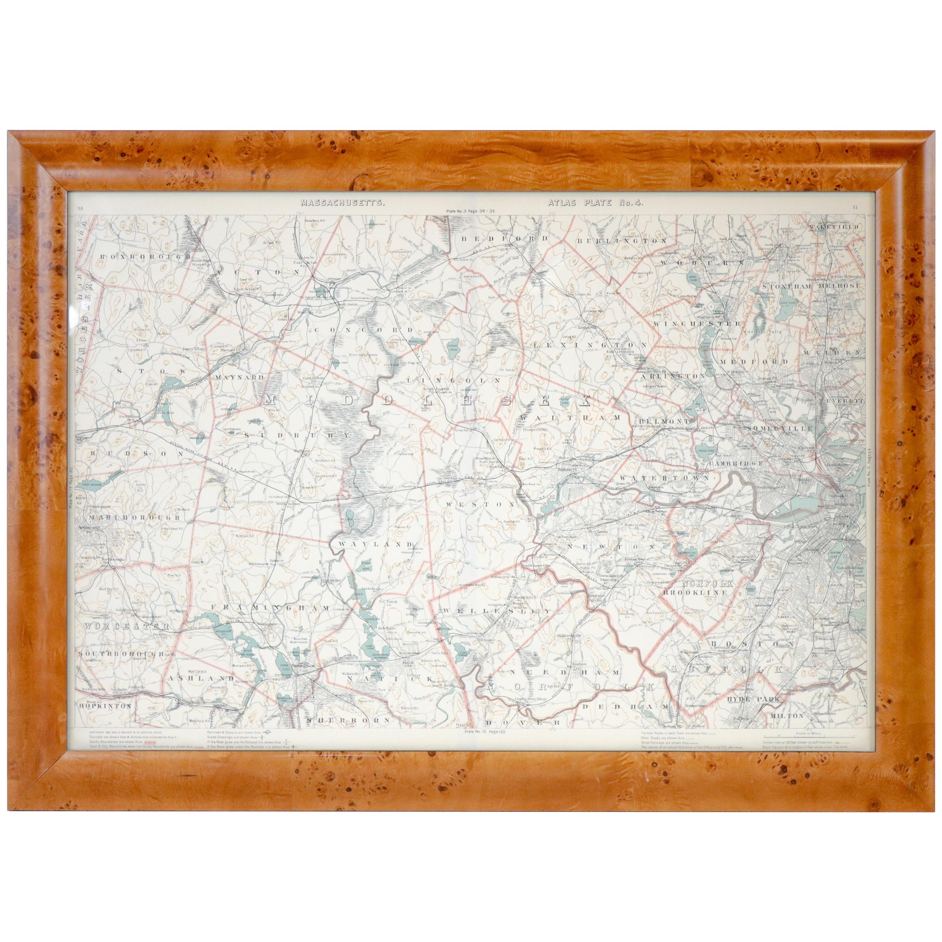
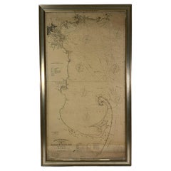
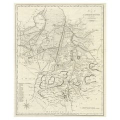
1891 Map of Norfolk County Massachusetts
About the Item
1891 map of Norfolk county Massachusetts including the towns of Wrentham, Franklin, Medfield, Sherborn, Norwood etc., measures: 23 x 31.
- Dimensions:Height: 23 in (58.42 cm)Width: 31 in (78.74 cm)Depth: 1 in (2.54 cm)
- Period:
- Date of Manufacture:Unknown
- Condition:
- Seller Location:Norwell, MA
- Reference Number:
About the Seller
5.0
Vetted Seller
These experienced sellers undergo a comprehensive evaluation by our team of in-house experts.
Established in 1967
1stDibs seller since 2015
348 sales on 1stDibs
Typical response time: 2 hours
- ShippingRetrieving quote...Ships From: Norwell, MA
- Return PolicyA return for this item may be initiated within 1 day of delivery.
More From This SellerView All
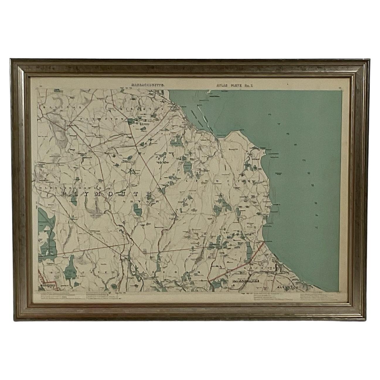
- 1891 Map of Plymouth County MassLocated in Norwell, MAOriginal 1891 map showing Sandwich, Bourne, Plymouth Carver, Middleborough, Plympton and Kingston. Showing Long Beach in Plymouth also as well as all shore points. Cape Cod Bay is ma...Category
Antique 1890s North American Maps
MaterialsPaper
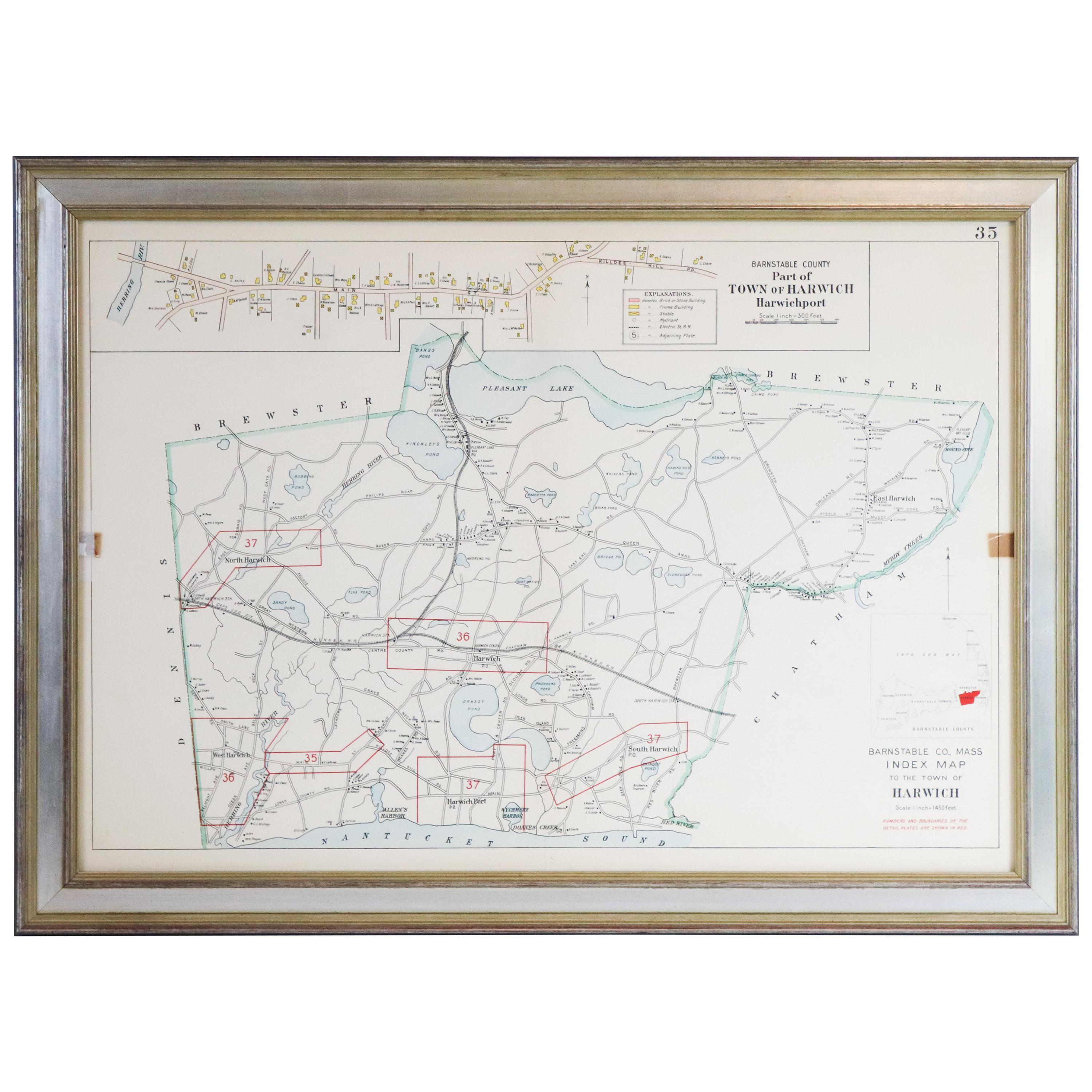
- Map of Harwich, MassachusettsLocated in Norwell, MATurn of the century map of Harwich, Massachusetts. Plate from a Cape Cod County Map book showing the Barnstable county town of Harwich including Allens Harbor, Pleasant Lake, Harwich...Category
20th Century Maps
- Original 1891 Walker MapLocated in Norwell, MAOriginal 1891 map of Massachusetts by Walker. Towns include Cambridge, Boston, Dedham, Ashland, Brookline, Newton etc... burl wood frame. Measures...Category
Antique 19th Century Maps
- 1891 Map of South Shore of BostonLocated in Norwell, MAOriginal 1891 map showing Cohasset, Scituate, Marshfield, Duxbury, Kingston, Norwell, Hanover, Hingham, Hull, Holbrook, Weymouth, Hanson, Pembroke, etc. Framed with glass. Circa 1891.Category
Antique 1890s North American Prints
MaterialsPaper
- Map of Boston and Surrounding TownsLocated in Norwell, MALater copy of a nineteenth century map of Boston and surrounding towns. Showing parts of Quincy, Milton, Hyde Park, Winthrop and Revere. Showing all of B...Category
Antique 19th Century North American Maps
MaterialsPaper
- Ocean Chart Of Massachusetts BayLocated in Norwell, MACape Cod Bay chart from 1907 by George W. Eldridge. This is chart "D" Massachusetts Bay and the coast from Chatham to Boston. Showing plotted courses, depths, lighthouses, ports, etc.. Excellent graphics. Ports include Barnstable, Sandwich, Duxbury, Plymouth, Cohasset, Hingham, Quincy, Boston, Marblehead, Lynn. Manchester by the Sea...Category
Antique Early 1900s North American Prints
MaterialsPaper


You May Also Like
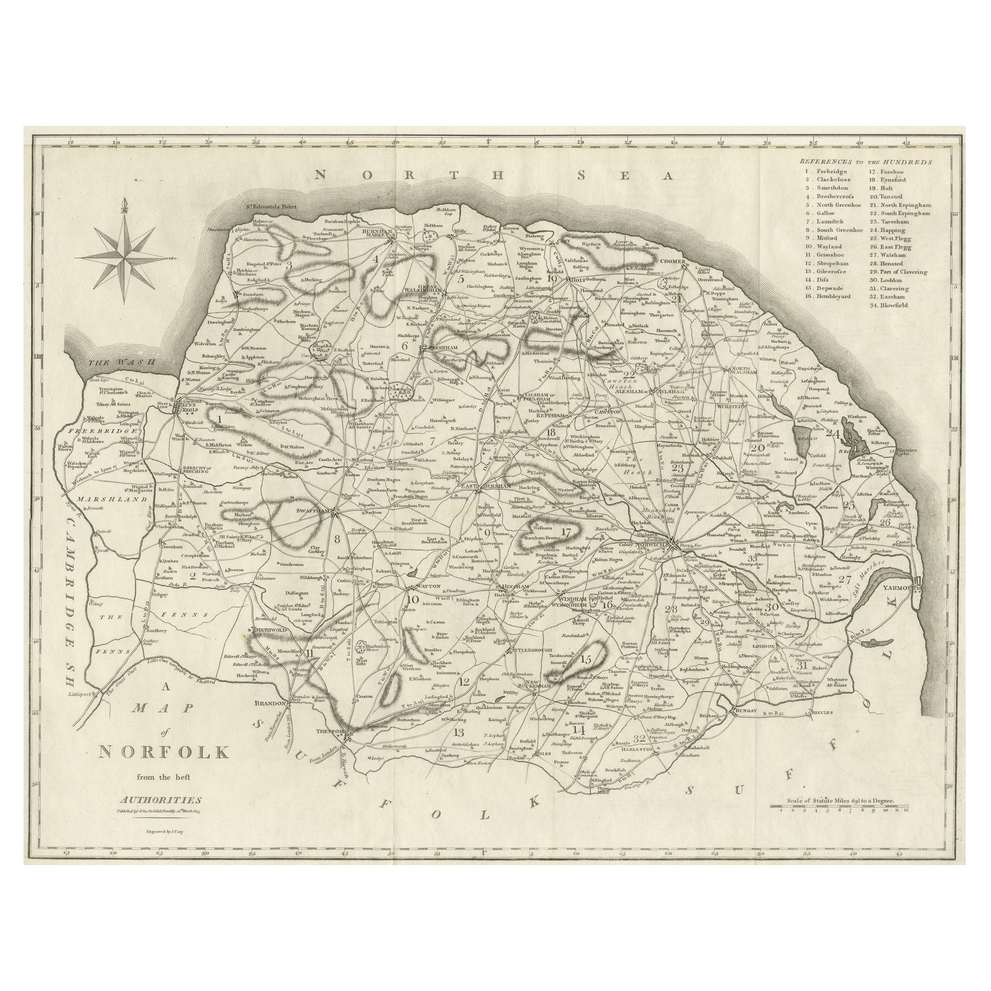
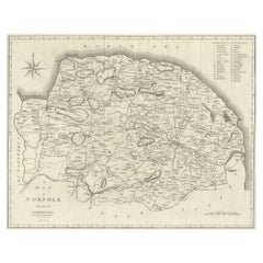
- Large Antique County Map of Norfolk, EnglandLocated in Langweer, NLAntique map titled 'A Map of Norfolk from the best Authorities'. Original old county map of Norfolk, England. Engraved by John Cary. Originates from 'N...Category
Antique Early 19th Century Maps
MaterialsPaper
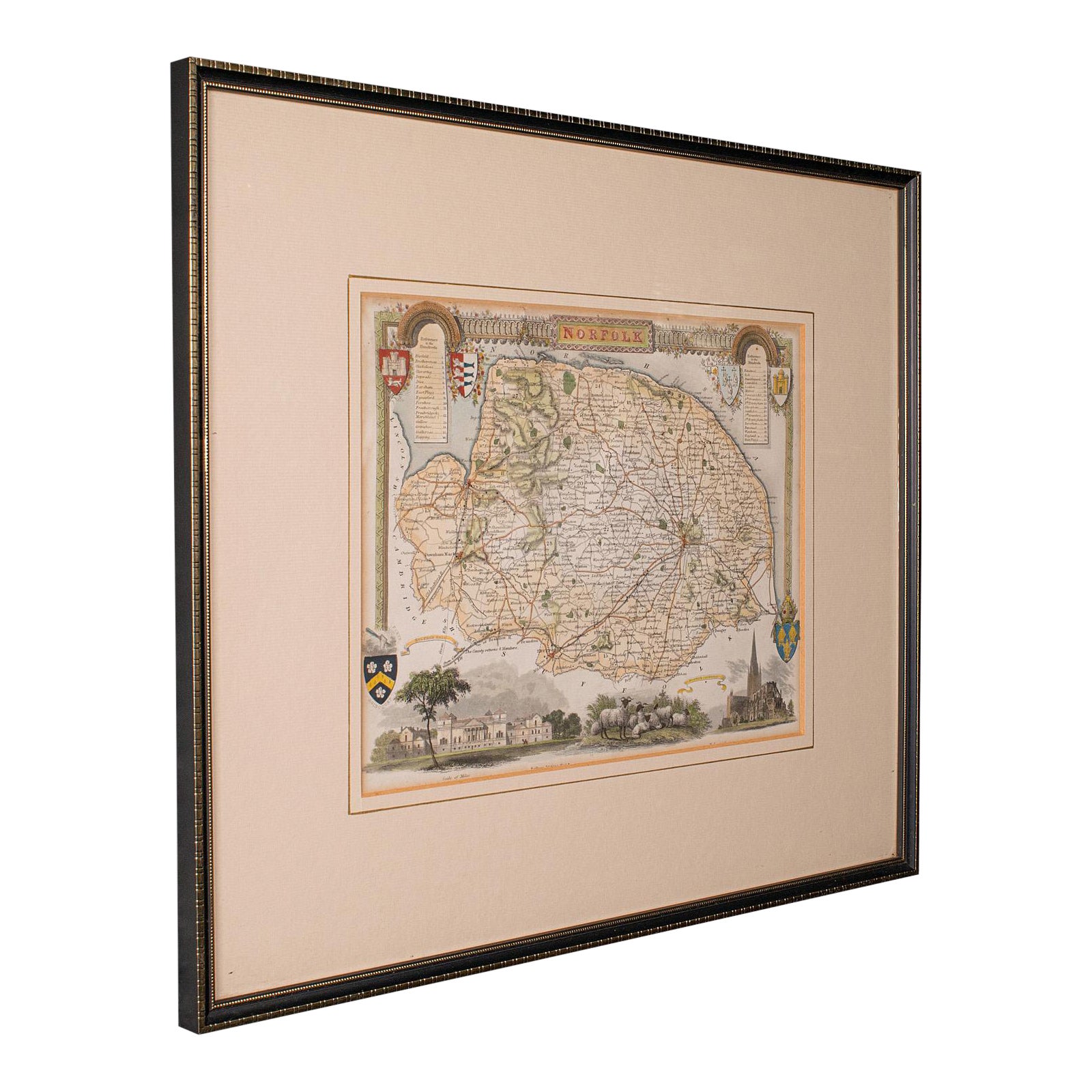
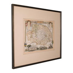
- Antique County Map, Norfolk, English, Framed Lithography, Cartography, VictorianLocated in Hele, Devon, GBThis is an antique lithography map of Norfolk. An English, framed atlas engraving of cartographic interest, dating to the mid 19th century and later. Superb lithography of Norfolk a...Category
Antique Mid-19th Century British Victorian Maps
MaterialsGlass, Wood
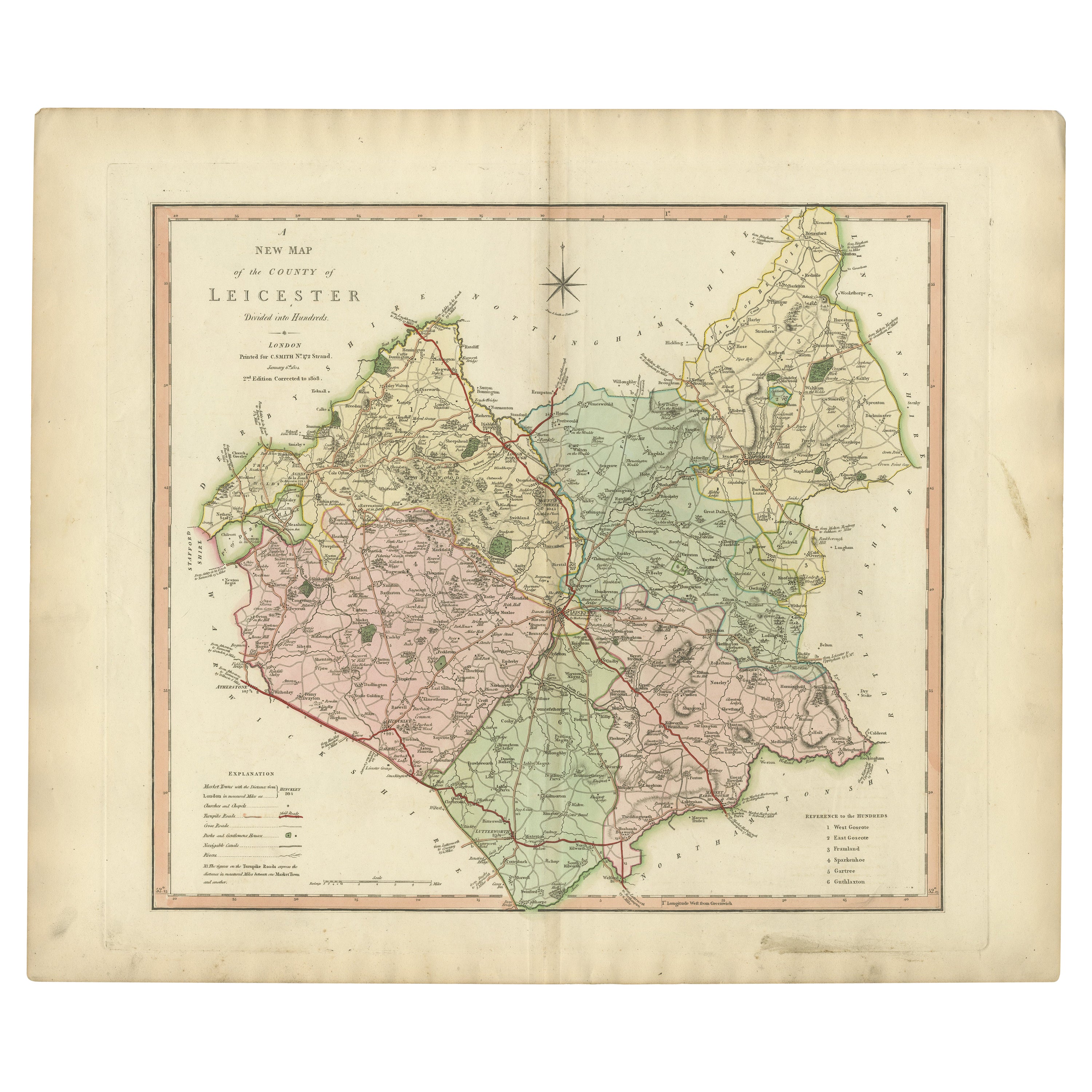
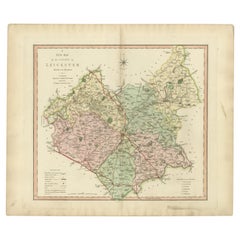
- Antique County Map of Leicestershire, England, 1804Located in Langweer, NLAntique county map of Leicestershire first published c.1800. Villages, towns, and cities illustrated include Lutterworth, Ashby, Hinkley, and Marke...Category
Antique Early 1800s Maps
MaterialsPaper
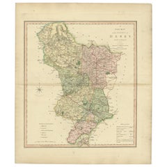
- Antique County Map of Derbyshire, England, 1804Located in Langweer, NLAntique county map of Derbyshire first published, circa 1800. Villages, towns, and cities illustrated include Chesterfield, Wirksworth, Derby, and ...Category
Antique Early 1800s Maps
MaterialsPaper
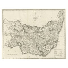
- Large Antique County Map of Suffolk, EnglandLocated in Langweer, NLAntique map titled 'A Map of Suffolk from the best Authorities'. Original old county map of Suffolk, England. Engraved by John Cary. Originates from 'New British Atlas' by John Stock...Category
Antique Early 19th Century Maps
MaterialsPaper
- Large Antique County Map of Cambridgeshire, EnglandLocated in Langweer, NLAntique map titled 'A Map of Cambridgeshire from the best Authorities'. Original old county map of Cambridgeshire, England. Engraved by John Cary. Originates from 'New British Atlas'...Category
Antique Early 19th Century Maps
MaterialsPaper
Recently Viewed
View AllMore Ways To Browse
Massachusetts Furniture
Antique Town Maps
Antique Furniture Massachusetts
Antique County Maps
Norfolk Furniture
Franklin Antique
Antique Furniture Norfolk
Map Of Massachusetts
Antique Norfolk County
Antique Maps Massachusetts
Antique Map Of Massachusetts
Antique Maps Of Massachusetts
Antique Map Norfolk
Authentic Antique Maps
Antique Rare Maps
Rare Antique Maps
Map Of Provence
16th Century World Map