Items Similar to Map of the Ottoman Empire in Europe, incl. the Balkans, Greece & Turkey, c.1760


Want more images or videos?
Request additional images or videos from the seller
1 of 5
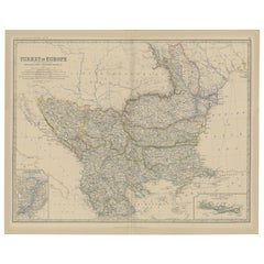
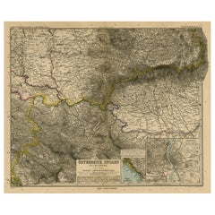
Map of the Ottoman Empire in Europe, incl. the Balkans, Greece & Turkey, c.1760
About the Item
Antique map Turkey titled 'An Accurate Map of Turky in Europe drawn from the best Authorities'.
Map of the Ottoman Empire in Europe, the Balkans, Greece, and Turkey in Europe. Engraved for the 'New Geographical Dictionary'.
Artists and Engravers: Engraved by G. Rollos.
- Dimensions:Height: 8.67 in (22 cm)Width: 13.59 in (34.5 cm)Depth: 0 in (0.02 mm)
- Materials and Techniques:
- Period:1760-1769
- Date of Manufacture:circa 1760
- Condition:Condition: Very good, please study image carefully.
- Seller Location:Langweer, NL
- Reference Number:
About the Seller
5.0
Platinum Seller
These expertly vetted sellers are 1stDibs' most experienced sellers and are rated highest by our customers.
Established in 2009
1stDibs seller since 2017
1,959 sales on 1stDibs
Typical response time: <1 hour
- ShippingRetrieving quote...Ships From: Langweer, Netherlands
- Return PolicyA return for this item may be initiated within 14 days of delivery.
More From This SellerView All
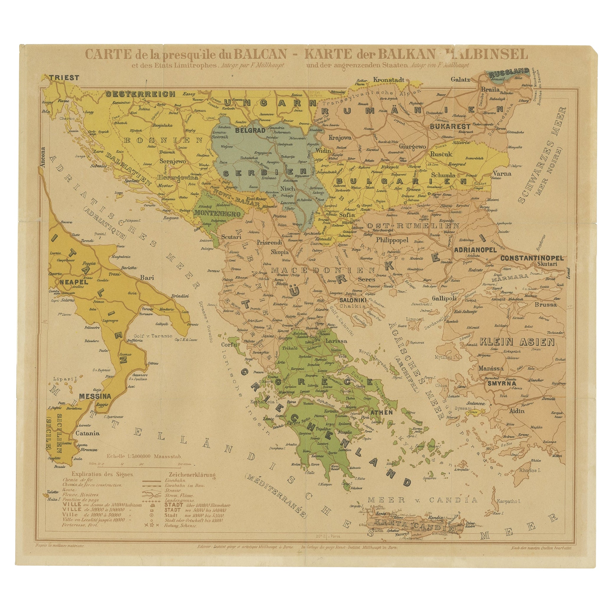
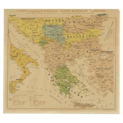
- Old Map of the Balkans Incl Greece, Turkey, Serbia, Montenegro, Bulgaria, C.1900Located in Langweer, NLAntique map titled 'Carte de la presqu-île du Balcan - Karte der Balkan Halbinsel'. Original antique map of the Balkans including Greece, Turkey, Serbia, Montenegro, Bulgaria and...Category
Antique Early 1900s Maps
MaterialsPaper
- Antique Map of the Turkish Empire by Tirion 'c.1760'Located in Langweer, NLAntique map titled 'Nieuwe Kaart van het Turksche Ryk gelegen in Europa, Asia en Africa'. Original antique map of the Turkish Empire. The map is centered on the Mediterranean Sea but...Category
Antique Mid-18th Century Maps
MaterialsPaper
- Old Map of Turkey in Europe, incl Romania, Servia, Montenegro & Bulgaria, 1882Located in Langweer, NLAntique map titled 'Turkey in Europe'. Old map of Turkey in Europe, also depicting part of Romania, Servia, Montenegro and Bulgaria. With inset maps of the Bosphorus, Constantino...Category
Antique 1880s Maps
MaterialsPaper
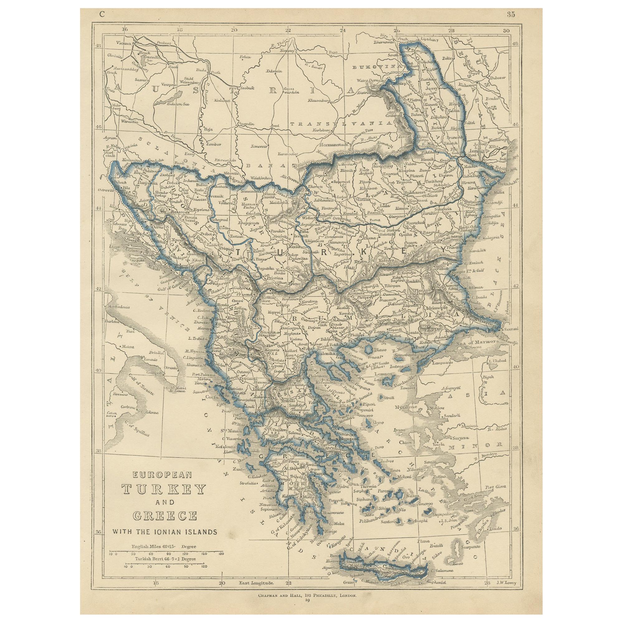
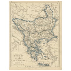
- Antique Map of European Turkey and Greece by Lowry '1852'Located in Langweer, NLAntique map titled 'European Turkey and Greece with the Ionian Islands'. Original map of European Turkey and Greece. This map originates from 'Lowry's table Atlas constructed and eng...Category
Antique Mid-19th Century Maps
MaterialsPaper
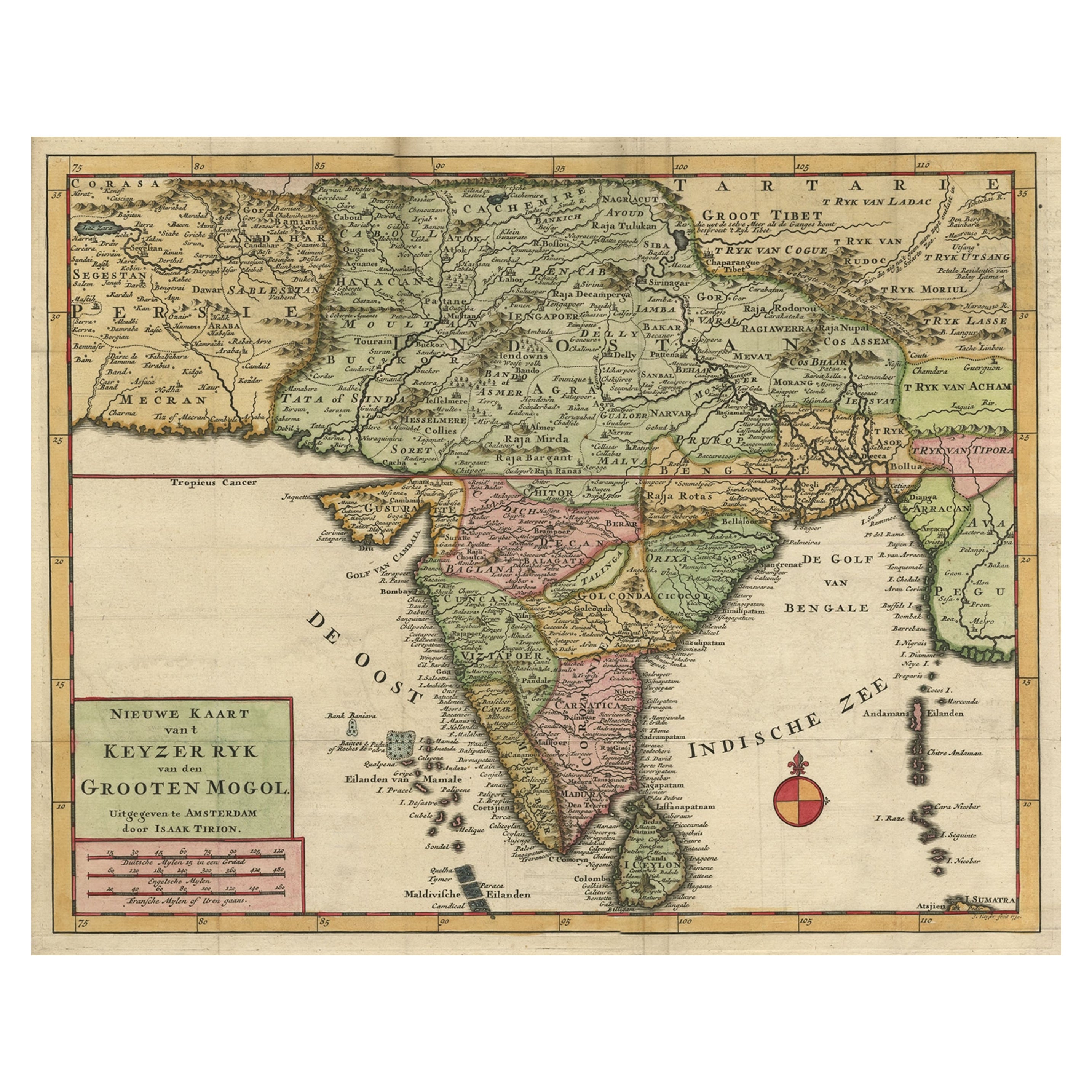
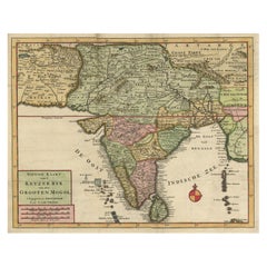
- Attractive Detailed Map of the Empire of the Great Mogul, Incl India, 1731Located in Langweer, NLAntique map titled 'Nieuwe Kaart van t Keyzer Ryk Grooten Mogol.' Attractive detailed map of the Empire of the Great Mogul, which included India, Sri Lanka, Pakistan and Banglade...Category
Antique 1730s Maps
MaterialsPaper
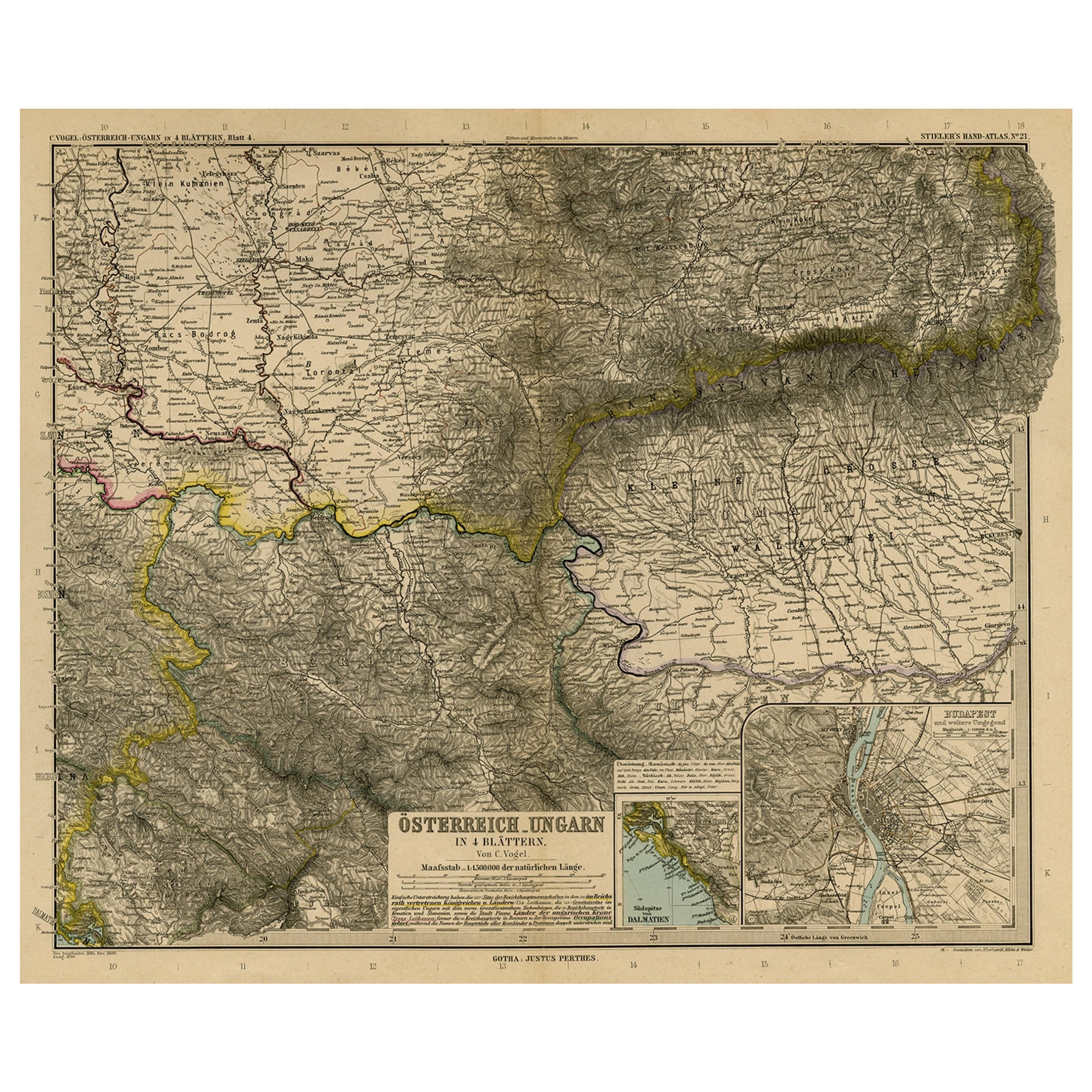
- Antique Map of Eastern Europe, Incl Montenegro & Serbia & a Budapest Map, 1890Located in Langweer, NLAntique map titled 'Osterreich-Ungarn in 4 Blattern, Blatt 4.' Map of Eastern Europe, with Montenegro in the lower left corner, the southern ...Category
Antique 1890s Maps
MaterialsPaper

You May Also Like
- Hand-Colored 18th Century Homann Map of the Danube, Italy, Greece, CroatiaBy Johann Baptist HomannLocated in Alamo, CA"Fluviorum in Europa principis Danubii" is a hand colored map of the region about the Danube river created by Johann Baptist Homann (1663-1724) in his 'Atlas Novus Terrarum', publish...Category
Antique Early 18th Century German Maps
MaterialsPaper
- Original Antique Map of Ancient Greece, Achaia, Corinth, 1786Located in St Annes, LancashireGreat map of Ancient Greece. Showing the region of Thessaly, including Mount Olympus Drawn by J.D. Barbie Du Bocage Copper plate engraving by P.F Tardieu Original hand color...Category
Antique 1780s French Other Maps
MaterialsPaper
- Original Antique Map of Ancient Greece- Boeotia, Thebes, 1787Located in St Annes, LancashireGreat map of Ancient Greece. Showing the region of Boeotia, including Thebes Drawn by J.D. Barbie Du Bocage Copper plate engraving by P.F T...Category
Antique 1780s French Other Maps
MaterialsPaper
- Map of the Republic of GenoaLocated in New York, NYFramed antique hand-coloured map of the Republic of Genoa including the duchies of Mantua, Modena, and Parma. Europe, late 18th century. Dimension: 25...Category
Antique Late 18th Century European Maps
- Original Antique Map of Ancient Greece, Phocis, Gulf of Corinth, 1787Located in St Annes, LancashireGreat map of Ancient Greece. Showing the region of Phocis, including the Gulf of Corinth Drawn by J.D. Barbie Du Bocage Copper plate engraving by P.F Tardieu Original hand c...Category
Antique 1780s French Other Maps
MaterialsPaper
- Map "Estuary- Mouth of the Thames"Located in Alessandria, PiemonteST/426 - Antique French Map of the estuary of the Thames, map dated 1769 - "Mape of the entrance of the Thames. Designed by filing of Navy cards fo...Category
Antique Mid-18th Century French Other Prints
MaterialsPaper


Recently Viewed
View AllMore Ways To Browse
Antique In Europe
For The Empire
Ottoman Empire Antique
Artist Ottoman
Ottoman Empire Turkish
Ottoman Empire Turkish Furniture
Antique Ottoman Empire
Antique Greek Map
Antique Greece Map
Antique Maps Of Greece
Antique Map Of Greece
Antique Maps Greece
Antique Map Greece
Turkish Map
Map Of Turkey
Turkey Map
Antique Balkan
Antique Turkish Map