Items Similar to Antique Map of Denmark with Schleswig & Holstein by A & C. Black, 1870

Want more images or videos?
Request additional images or videos from the seller
1 of 6
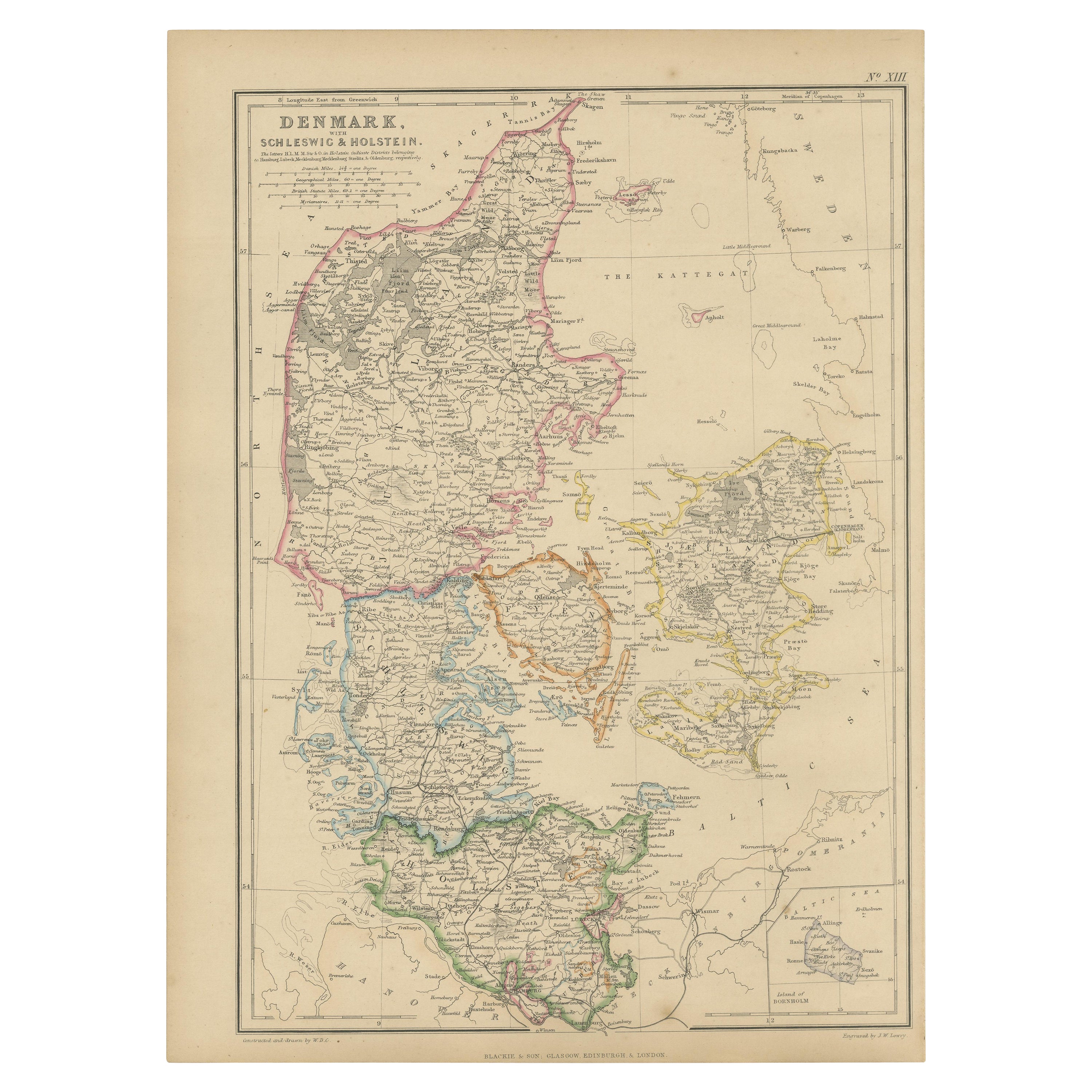
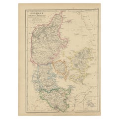
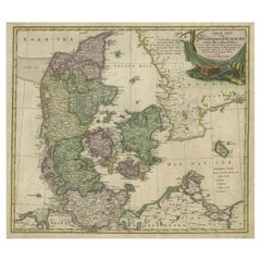
Antique Map of Denmark with Schleswig & Holstein by A & C. Black, 1870
About the Item
Antique map titled 'Denmark with Schleswig & Holstein'. Original antique map of Denmark with Schleswig & Holstein. This map originates from ‘Black's General Atlas of The World’. Published by A & C. Black, 1870.
- Dimensions:Height: 17.52 in (44.5 cm)Width: 13 in (33 cm)Depth: 0.02 in (0.5 mm)
- Materials and Techniques:
- Period:
- Date of Manufacture:1870
- Condition:Wear consistent with age and use. General age-related toning. some foxing, Please study image carefully.
- Seller Location:Langweer, NL
- Reference Number:
About the Seller
5.0
Platinum Seller
These expertly vetted sellers are 1stDibs' most experienced sellers and are rated highest by our customers.
Established in 2009
1stDibs seller since 2017
1,959 sales on 1stDibs
Typical response time: <1 hour
- ShippingRetrieving quote...Ships From: Langweer, Netherlands
- Return PolicyA return for this item may be initiated within 14 days of delivery.
More From This SellerView All
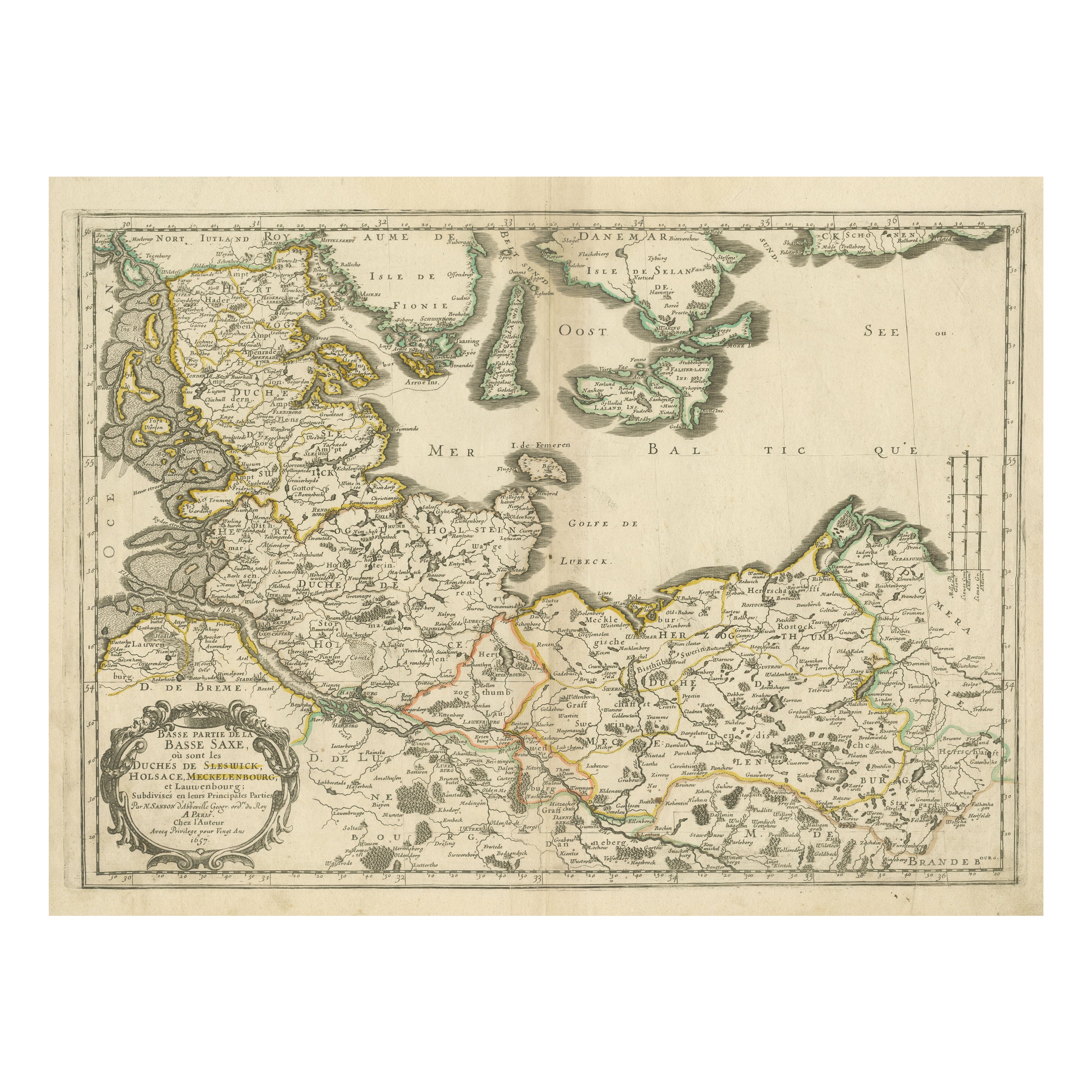
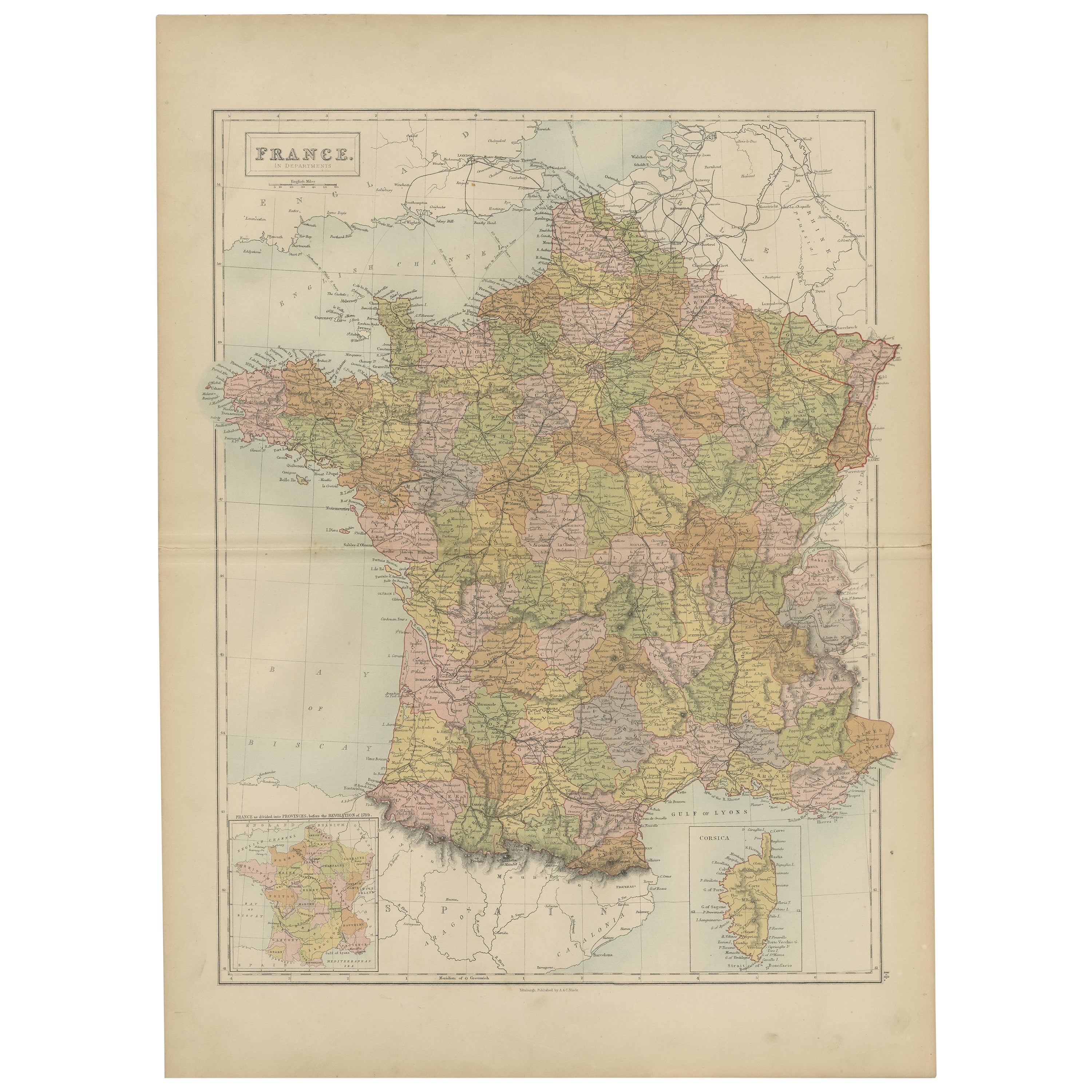
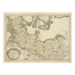
- Antique Map of Northern Germany, Including Schleswig-Holstein and HamburgLocated in Langweer, NLAntique map titled 'Basse Partie de la Basse Saxe ou sont les Duchés de Sleswick, Holsace, Meckelenbourg et Lauvenbourg (..)'. Original old map of northern Germany, including Schlesw...Category
Antique Mid-17th Century Maps
MaterialsPaper
- 1859 Denmark and Schleswig-Holstein Map: A Historical View from Blackie's AtlasLocated in Langweer, NLThe "Antique Map of Denmark with Schleswig & Holstein" from 'The Imperial Atlas of Modern Geography', published by W. G. Blackie in 1859, is a valuable historical document that provi...Category
Antique Mid-19th Century Maps
MaterialsPaper
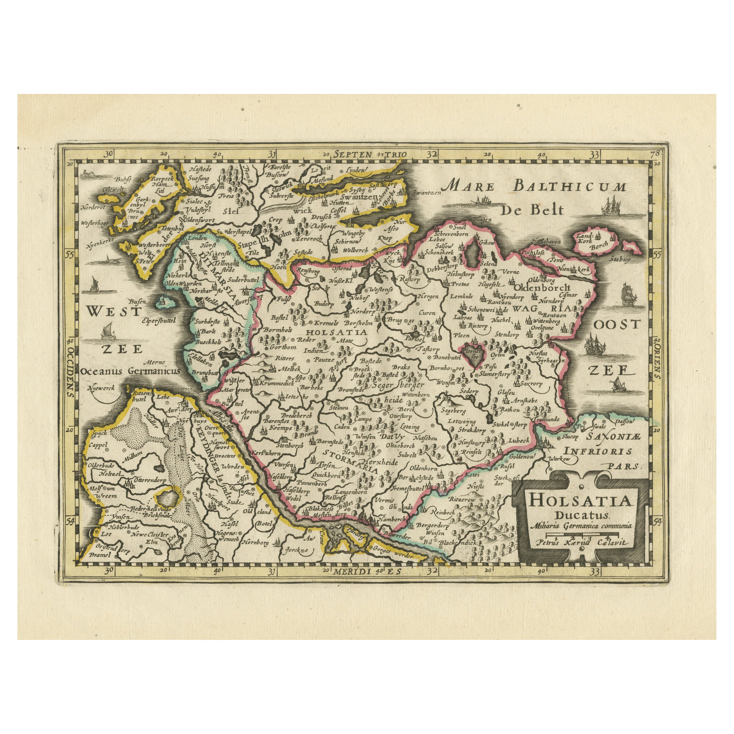
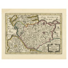
- Antique Map of Holstein, GermanyLocated in Langweer, NLAntique map titled 'Holsatia Ducatus'. Original old map of Holstein, Germany. By Petrus Kaerius, published circa 1650. Pieter van den Keere (Latin: Petrus Kaerius 1571 – circa 1646) ...Category
Antique Mid-17th Century Maps
MaterialsPaper
- Antique Map of Denmark with Schleswig-Holstein and the South of Sweden, c.1750Located in Langweer, NLAntique map titled 'General Charte von Konigreich Daenemark nebst dem Herzogthum Holstein.' Denmark with Schleswig-Holstein and the southern coast of Sweden. The large title cartouch...Category
Antique 18th Century Maps
MaterialsPaper
- Antique Map of Switzerland by A & C. Black, 1870Located in Langweer, NLAntique map titled 'Switzerland'. Original antique map of Switzerland. This map originates from ‘Black's General Atlas of The World’. Published by A & C. Black, 1870.Category
Antique Late 19th Century Maps
MaterialsPaper
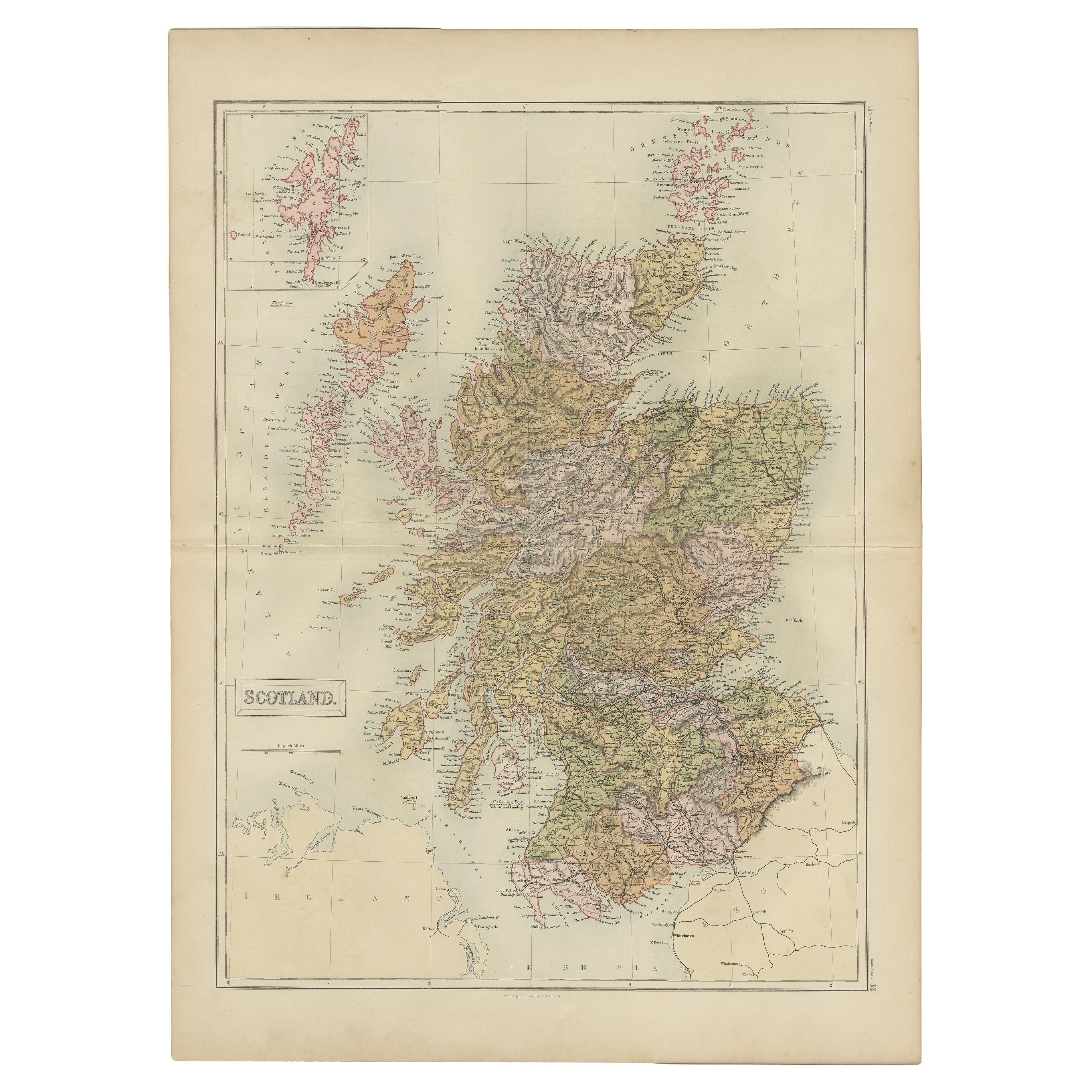
- Antique Map of Scotland by A & C. Black, 1870Located in Langweer, NLAntique map titled 'Scotland'. Original antique map of Scotland with inset map of Shetland island. This map originates from ‘Black's General Atlas of The World’. Published by A & C. ...Category
Antique Late 19th Century Maps
MaterialsPaper


You May Also Like
- Antique Map of Italy by Andriveau-Goujon, 1843By Andriveau-GoujonLocated in New York, NYAntique Map of Italy by Andriveau-Goujon, 1843. Map of Italy in two parts by Andriveau-Goujon for the Library of Prince Carini at Palazzo Carini i...Category
Antique 1840s French Maps
MaterialsLinen, Paper
- Antique Map of Principality of MonacoBy Antonio Vallardi EditoreLocated in Alessandria, PiemonteST/619 - "Old Geographical Atlas of Italy - Topographic map of ex-Principality of Monaco" - ediz Vallardi - Milano - A somewhat special edition ---Category
Antique Late 19th Century Italian Other Prints
MaterialsPaper
- Original Antique Map of Russia By Arrowsmith. 1820Located in St Annes, LancashireGreat map of Russia Drawn under the direction of Arrowsmith Copper-plate engraving Published by Longman, Hurst, Rees, Orme and Brown, 1820 Unframed.Category
Antique 1820s English Maps
MaterialsPaper
- Original Antique Map of Sweden, Engraved by Barlow, 1806Located in St Annes, LancashireGreat map of Sweden Copper-plate engraving by Barlow Published by Brightly & Kinnersly, Bungay, Suffolk. 1806 Unframed.Category
Antique Early 1800s English Maps
MaterialsPaper
- Original Antique Map of Belgium by Tallis, Circa 1850Located in St Annes, LancashireGreat map of Belgium Steel engraving Many lovely vignettes Published by London Printing & Publishing Co. ( Formerly Tallis ), C.1850 Origin...Category
Antique 1850s English Maps
MaterialsPaper
- Original Antique Map of China by Thomas Clerk, 1817Located in St Annes, LancashireGreat map of China Copper-plate engraving Drawn and engraved by Thomas Clerk, Edinburgh. Published by Mackenzie And Dent, 1817 Unframed.Category
Antique 1810s English Maps
MaterialsPaper


Recently Viewed
View AllMore Ways To Browse
Denmark Map
Antique Map Denmark
Rare Collectable Chinese
Antique Map Of Italy
Antique Maps Of Italy
Fine Antique Maps
Furniture Russian 18th Century
Antique Map Fair
Antique State Maps
Antique Maps And Charts
Antique Collectible Bears
Antique Eastern European Furniture
Antique Map Border
Orbis Map
Antique Map India
Antique Map Of India
Antique Maps Of India
Antique House Plans