Items Similar to Set of Three Antique Maps of Africa by Colton (circa 1855)


Want more images or videos?
Request additional images or videos from the seller
1 of 5
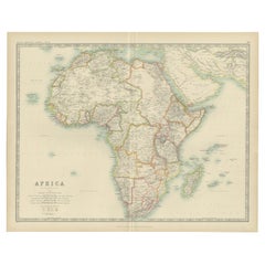
Set of Three Antique Maps of Africa by Colton (circa 1855)
About the Item
Set of three individual maps of Africa including 'North West Africa', 'North Eastern Africa' and 'Southern Africa'. All three maps are surrounded by Colton's typical spiral motif border. Colton names numerous African tribes and nations throughout. An interesting set of maps with great detail.
- Dimensions:Height: 18.51 in (47 cm)Width: 15.75 in (40 cm)Depth: 0.02 in (0.5 mm)
- Sold As:Set of 3
- Materials and Techniques:
- Period:
- Date of Manufacture:circa 1855
- Condition:General age-related toning, small holes in margin. Please study images carefully.
- Seller Location:Langweer, NL
- Reference Number:
About the Seller
5.0
Platinum Seller
These expertly vetted sellers are 1stDibs' most experienced sellers and are rated highest by our customers.
Established in 2009
1stDibs seller since 2017
1,960 sales on 1stDibs
Typical response time: <1 hour
- ShippingRetrieving quote...Ships From: Langweer, Netherlands
- Return PolicyA return for this item may be initiated within 14 days of delivery.
More From This SellerView All
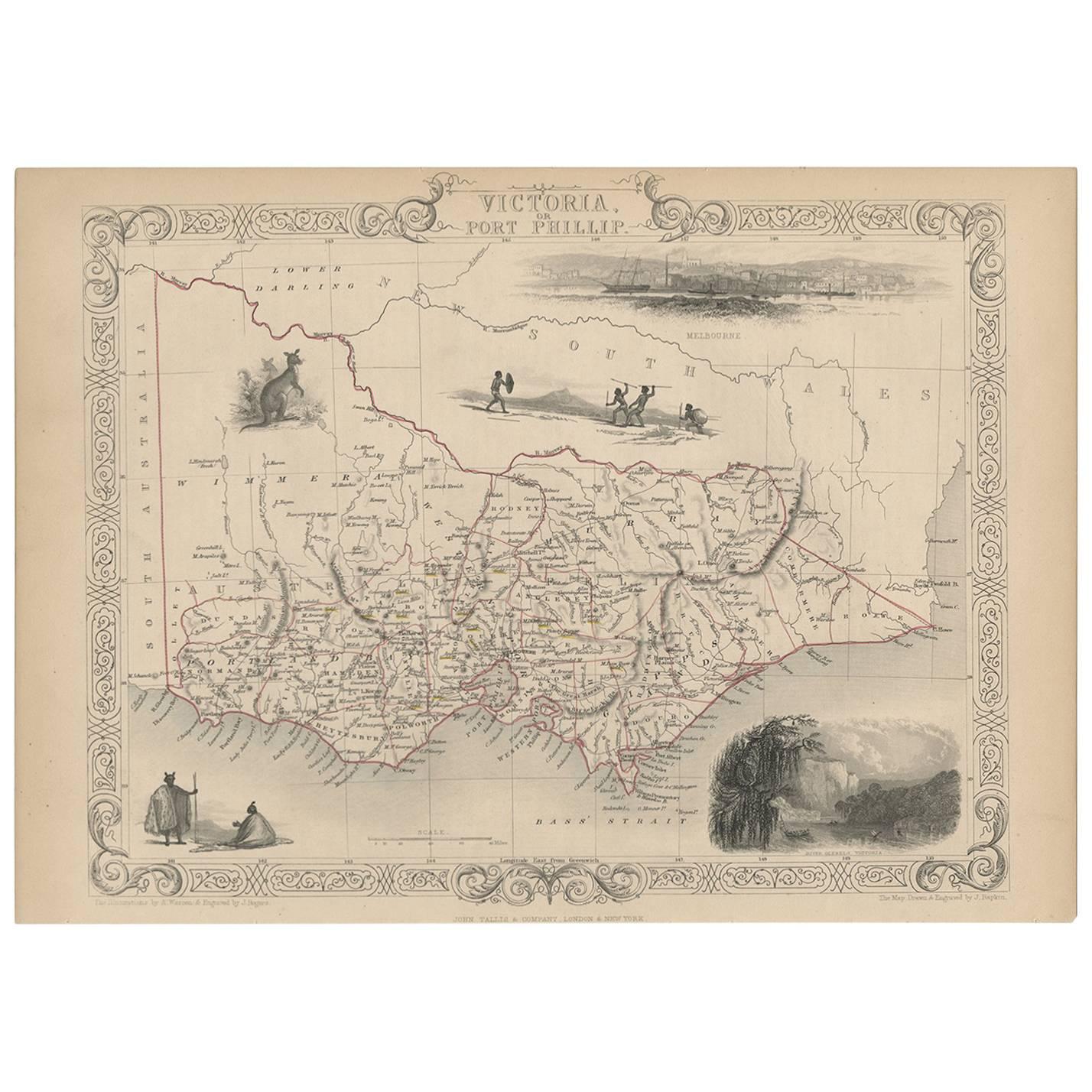
- Antique Map of Victoria ‘Australia’ by J. Tallis, circa 1855Located in Langweer, NLA highly decorative and finely engraved mid-19th century map of Victoria, Australia which appeared in John Tallis & co.'s The Illustrated Atlas (London...Category
Antique Mid-19th Century Maps
MaterialsPaper
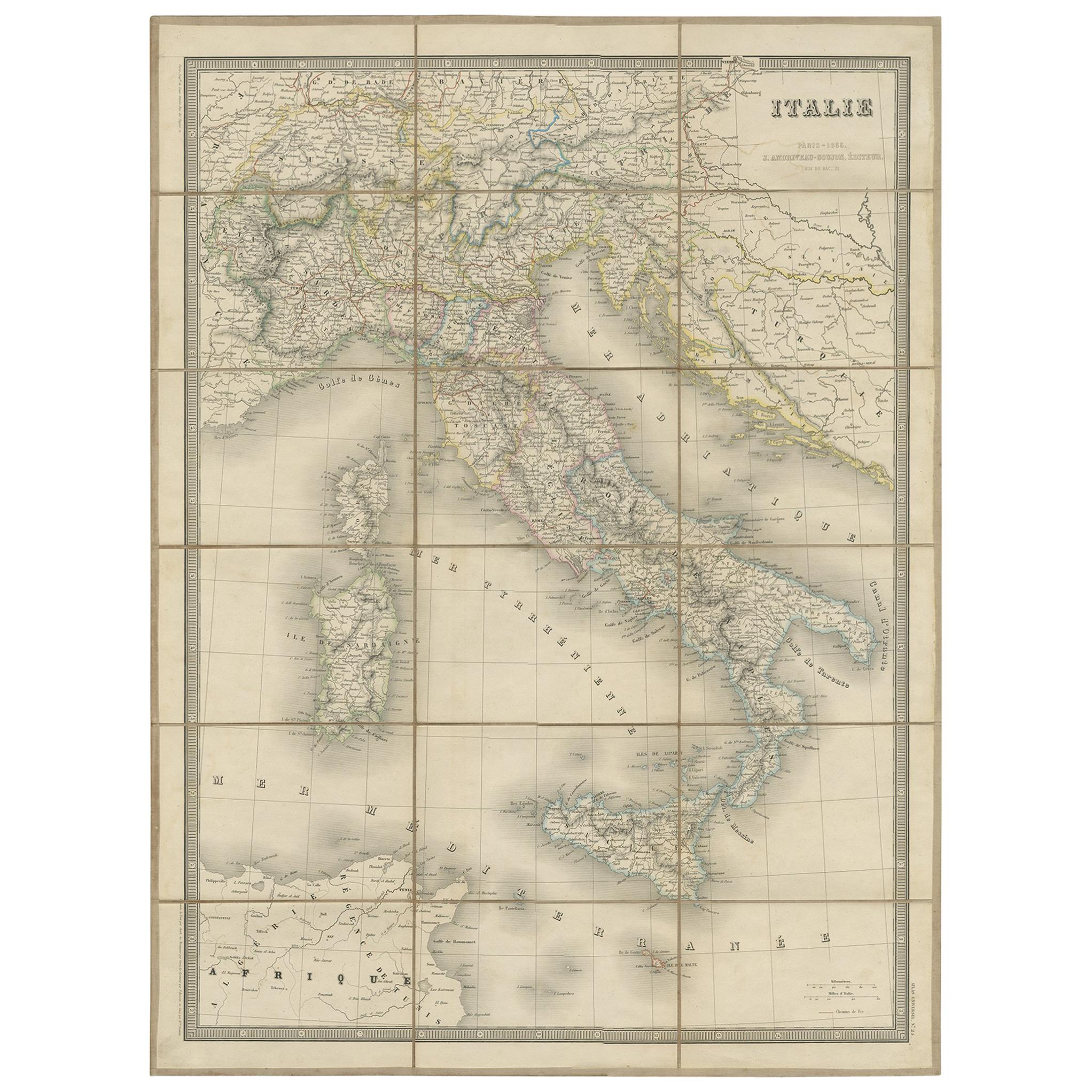
- Antique Map of Italy by Andriveau-Goujon, 1855Located in Langweer, NLAntique folding map of Italy titled 'Italie'. Detailed map of Italy. The map originates from 'Atlas Universel' and is mounted on linen.Category
Antique Mid-19th Century Maps
MaterialsPaper
- Antique Map of Africa by Bordiga Fratelli 'circa 1818'Located in Langweer, NLAntique map titled 'Carta dell Africa'. Large and quite scarce Italian map of Africa, reflecting the then-current knowledge of the continent's geography, with large areas left comple...Category
Antique Early 19th Century Maps
MaterialsPaper
- Original Antique Map of AfricaLocated in Langweer, NLAntique map titled 'Afrika'. Original antique map of Africa, drawn by Van Beusekom. Published by 'Seyffardt's Boekhandel' in Amsterdam, circa 1870.Category
Antique Late 19th Century Maps
MaterialsPaper
- Antique Map of Africa by Lapie, 1842Located in Langweer, NLAntique map titled 'Carte d'Afrique'. Map of Africa. This map originates from 'Atlas universel de géographie ancienne et moderne (..)' by Pierre M. Lapie...Category
Antique Mid-19th Century Maps
MaterialsPaper
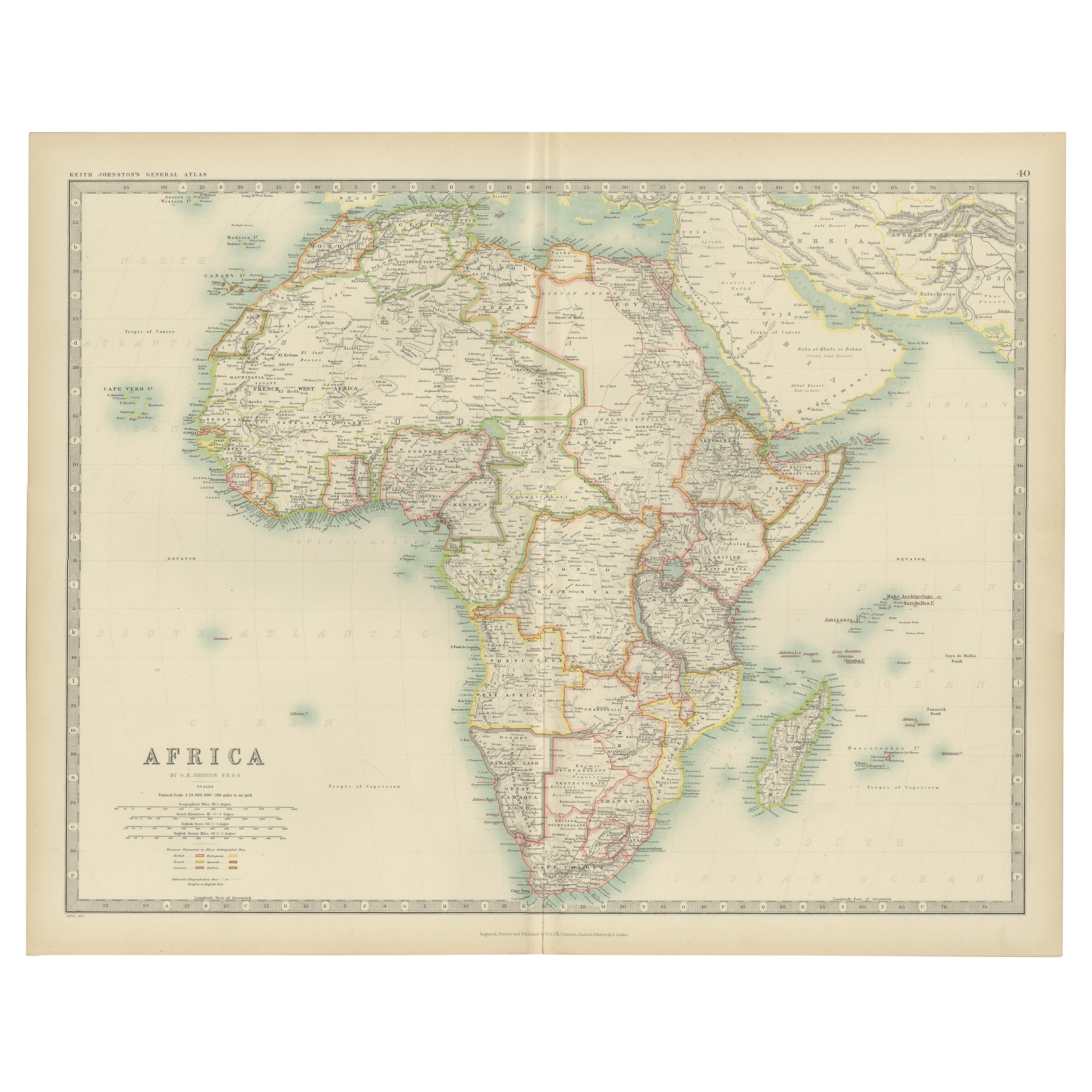
- Antique Map of Africa by Johnston (1909)Located in Langweer, NLAntique map titled 'Africa'. Original antique map of Africa. This map originates from the ‘Royal Atlas of Modern Geography’. Published by W. & A....Category
Early 20th Century Maps
MaterialsPaper


You May Also Like
- Original Antique Map of South Africa, Arrowsmith, 1820Located in St Annes, LancashireGreat map of South Africa. Drawn under the direction of Arrowsmith. Copper-plate engraving. Published by Longman, Hurst, Rees, Orme and Br...Category
Antique 1820s English Maps
MaterialsPaper
- Original Antique Map of Belgium by Tallis, Circa 1850Located in St Annes, LancashireGreat map of Belgium Steel engraving Many lovely vignettes Published by London Printing & Publishing Co. ( Formerly Tallis ), C.1850 Origin...Category
Antique 1850s English Maps
MaterialsPaper
- Original Antique Map of South America, circa 1830Located in St Annes, LancashireGreat map of South America Copper plate engraving Published by Butterworth, Livesey & Co., circa 1830 Unframed.Category
Antique Early 1800s English Other Maps
MaterialsPaper
- Original Antique Map of South East Asia by Becker, circa 1840Located in St Annes, LancashireGreat map of South East Asia Steel engraving with original color outline Engraved by Becker Published by Virtue, circa 1840. Unframed.Category
Antique 1840s English Other Maps
MaterialsPaper
- Original Antique Map of Spain and Portugal, circa 1790Located in St Annes, LancashireSuper map of Spain and Portugal Copper plate engraving by A. Bell Published, circa 1790. Unframed.Category
Antique 1790s English Other Maps
MaterialsPaper
- 17th Century Hand-Colored Map of West Africa by Mercator/HondiusLocated in Alamo, CAA 17th century hand-colored map entitled "Guineae Nova Descriptio" by Gerard Mercator and Jodocus Hondius, published in their 'Atlas Minor' in Amsterdam in 1635. It is focused on the...Category
Antique Mid-17th Century Dutch Maps
MaterialsPaper


Recently Viewed
View AllMore Ways To Browse
Africa Map
Map Of Africa
Set Of Maps
Antique Map Border
Antique Map Set
Antique Africa Maps
Antique African Maps
Antique Map Africa
Antique Map Of Africa
Antique Maps Of Africa
19th Century Africa Collectibles
North Africa Map
West Africa Map
19th Century Map Of Africa
Antique French Maps
Antique Map France
Antique Maps France
Antique Map Of France